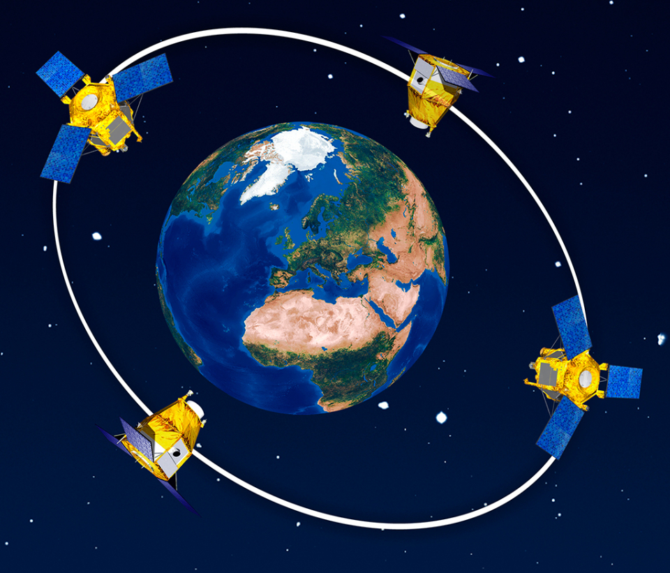
The Pléiades constellation makes up the optical part of the French-Italian Earth observation system called ORFEO (Optical and Radar Federated Earth Observation) which aims to provide both civil and military users with high-quality remote sensing data. The radar component is provided by COSMO-SkyMed.
Twin satellites
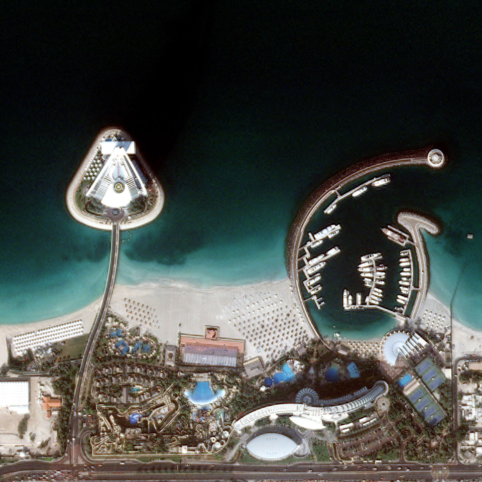
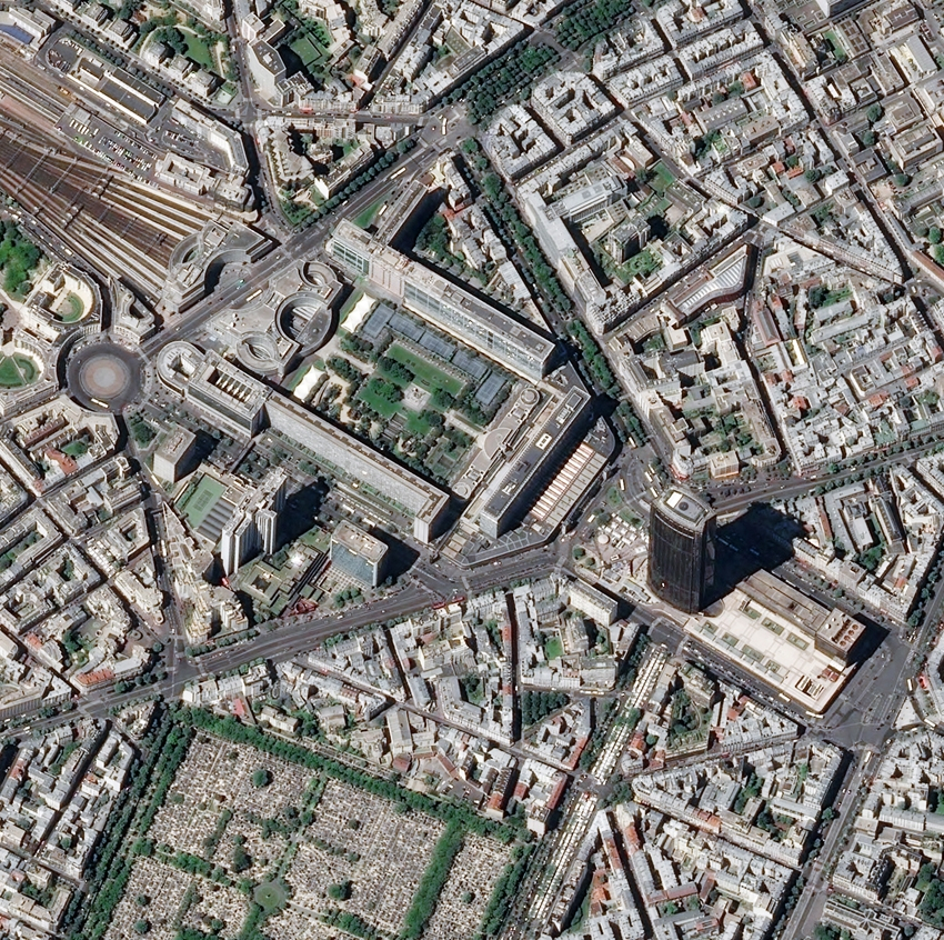
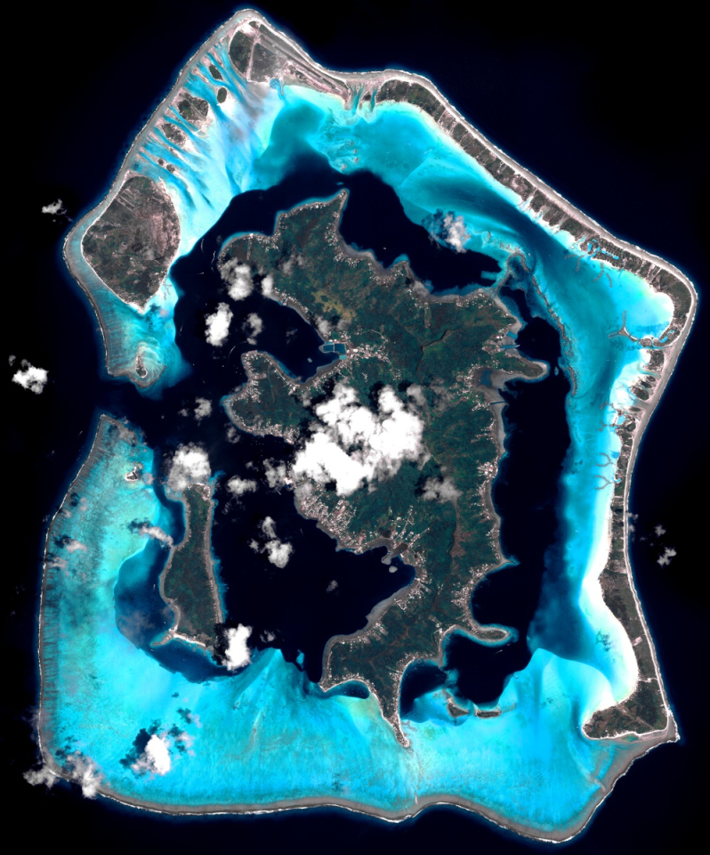
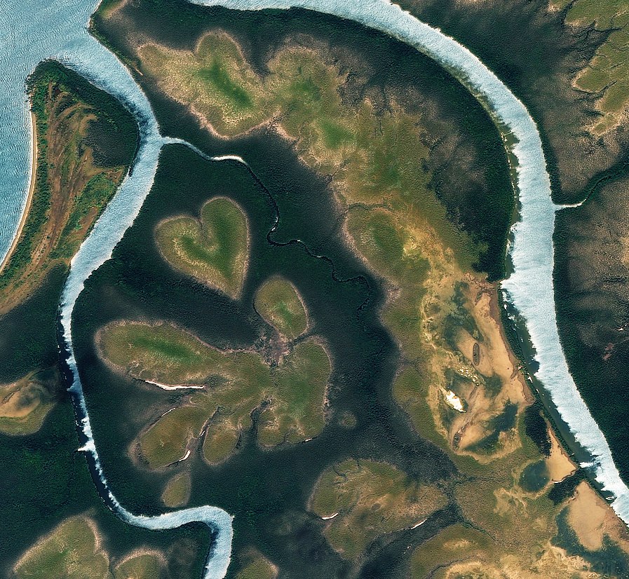
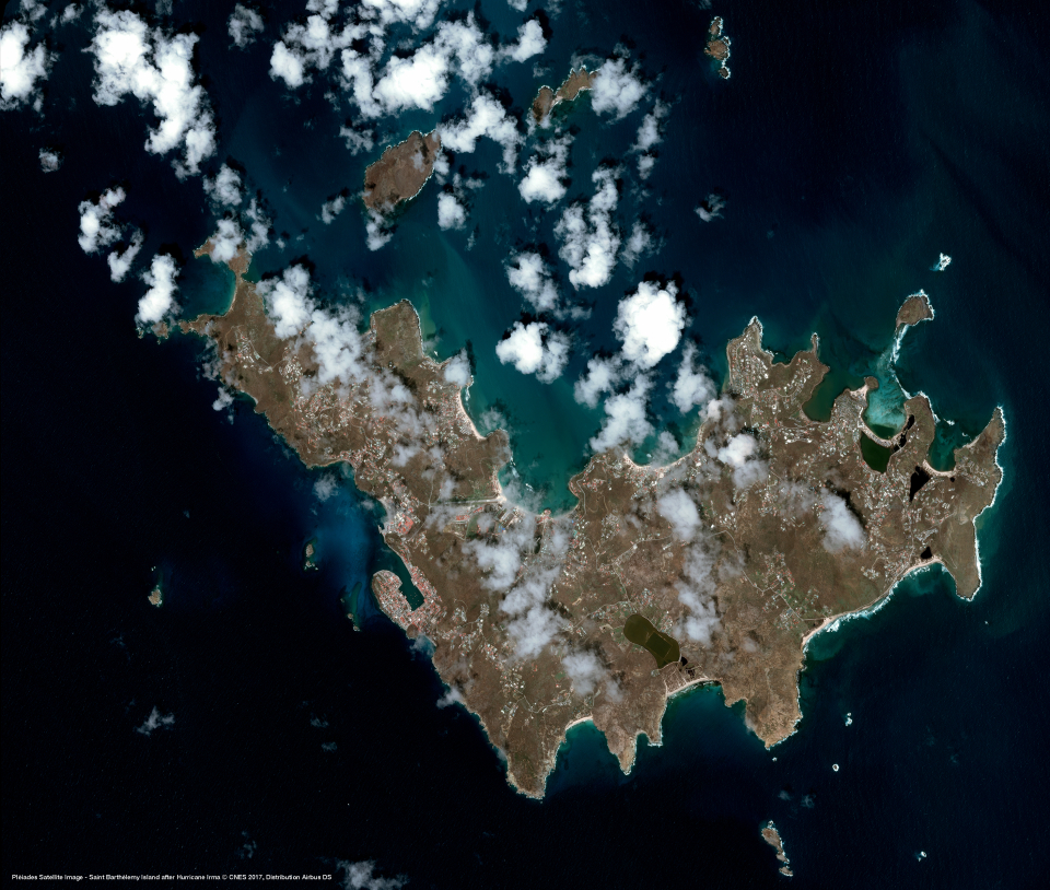
Both satellites have the same optical instrument on board: HiRI (High-Resolution Imager). This instrument acquires panchromatic images with a resolution of 70 cm, which are then resampled to a 50 cm resolution. At the same time it also acquires multispectral images in 4 bands (blue, green, red and near infrared) with a resolution of 2.80 m, which in turn are resampled to a resolution of 2.00 m. These images can further be combined to a colour image with a resolution of 50 cm.
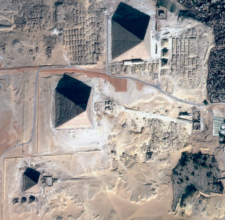
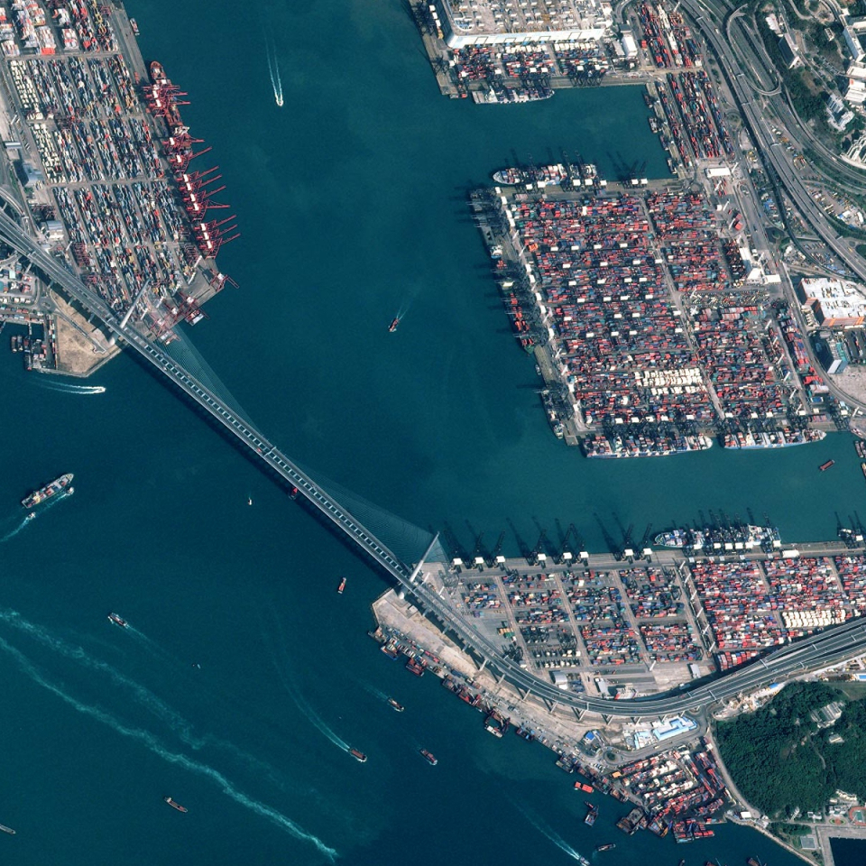
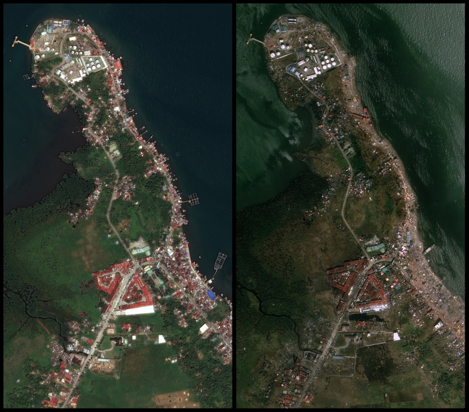
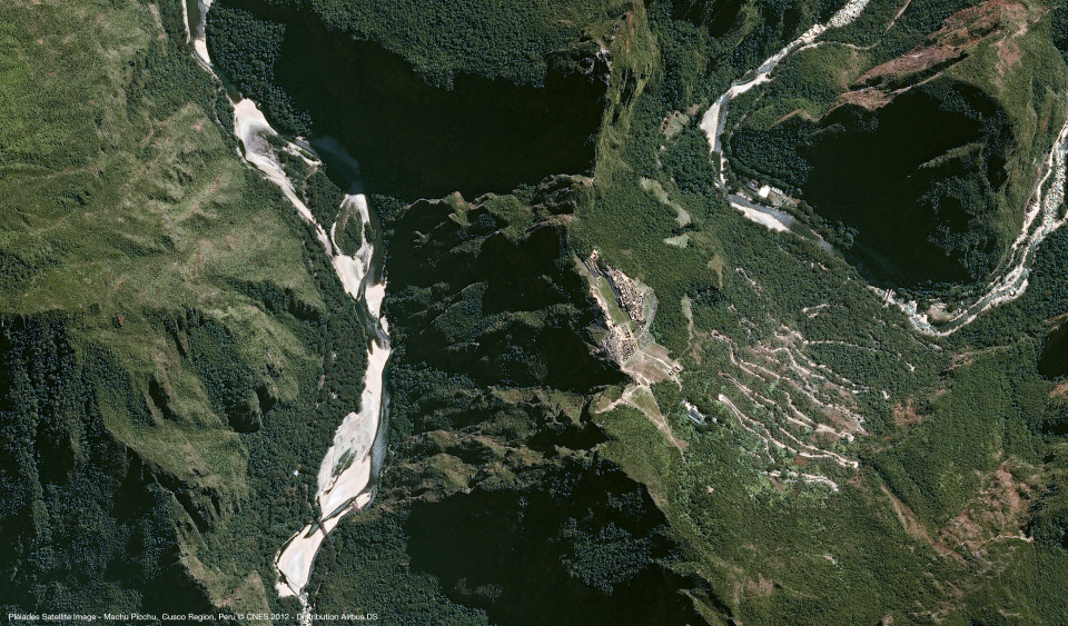
The collected data can be used in numerous applications: cartography, urban development, agriculture, forestry, geology, hydrology, marine and Earth sciences, management of natural resources, land use...
To stimulate the use of this impressive source of information, the Belgian Science Policy Office has set up a portal that allows authorised users to purchase Pléiades imagery at rock bottom prices, and to download imagery already purchase by other authorised users completely free of charge. Furthermore, BELSPO, the NGI and the 3 regions also teamed up for the purchase of a full coverage of Belgium over the course of 2013, which has been made available for download as well, again through Pléiades 4 Belgium.