Published 13 hours ago
The Institute of Natural Sciences and the Royal Belgian Institute for Space Aeronomy (BIRA-IASB) recently participated in the third “Cabauw Intercomparison of UV-Vis DOAS Instruments” (CINDI-3). This campaign took place in May-June 2024 and was organized by the Royal Netherlands Meteorological Institute (KNMI) at the Cabauw observatory, located between Rotterdam and Utrecht. More than 100 persons from 16 countries, with 44 instruments, were involved in the international measurement campaign, the largest of its kind in the world.
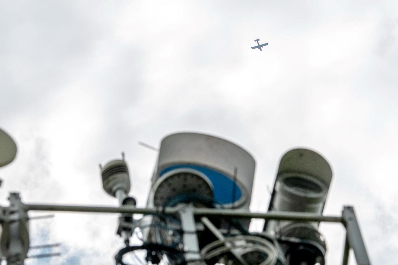
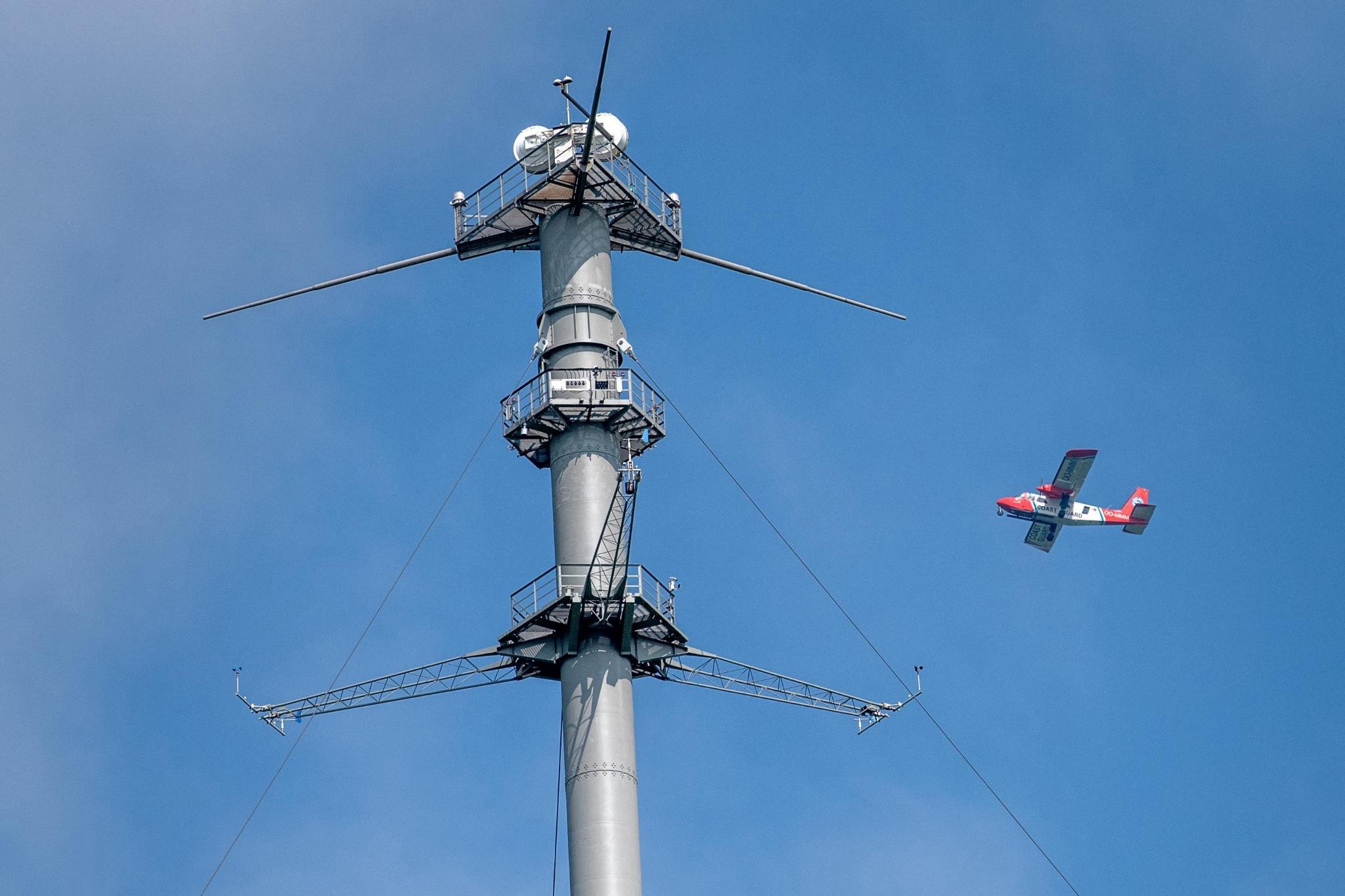 The surveillance aircraft takes measurements around the KNMI measuring tower in Cabauw (© Arnoud Apituley)
The main purpose of CINDI-3 is to test and compare different MAX-DOAS (Multi-Axis Differential Optical Absorption Spectroscopy) instruments that measure air pollutants such as nitrogen dioxide (NO2) and ozone (O3). These instruments use a technique that analyses the spectrum of scattered sunlight to determine the presence and concentration of various gases in the atmosphere.
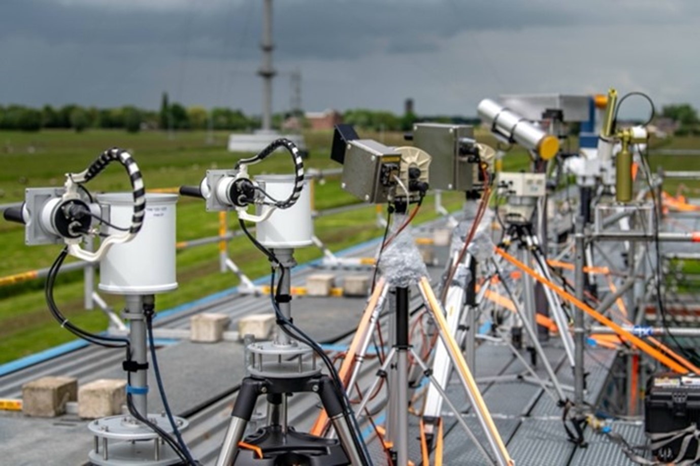
Measuring instruments set up in Cabauw (© Arnoud Apituley)
As part of the Belgian contribution, the aerial surveillance aircraft of the Institute of Natural Sciences was equipped with various measuring instruments in the weeks before the exercise (including the BIRA SWING imaging DOAS system), while BIRA also supplied NO2 and O3 in-situ measuring equipment. Together with other measuring devices near the KNMI measuring mast in Cabauw, and operated on cars and bicycles, a complete picture of the distribution of pollutants in the industrial and urban areas around Rotterdam could be compiled. The NO2 distribution over Antwerp was also mapped from the aircraft as part of the same campaign.
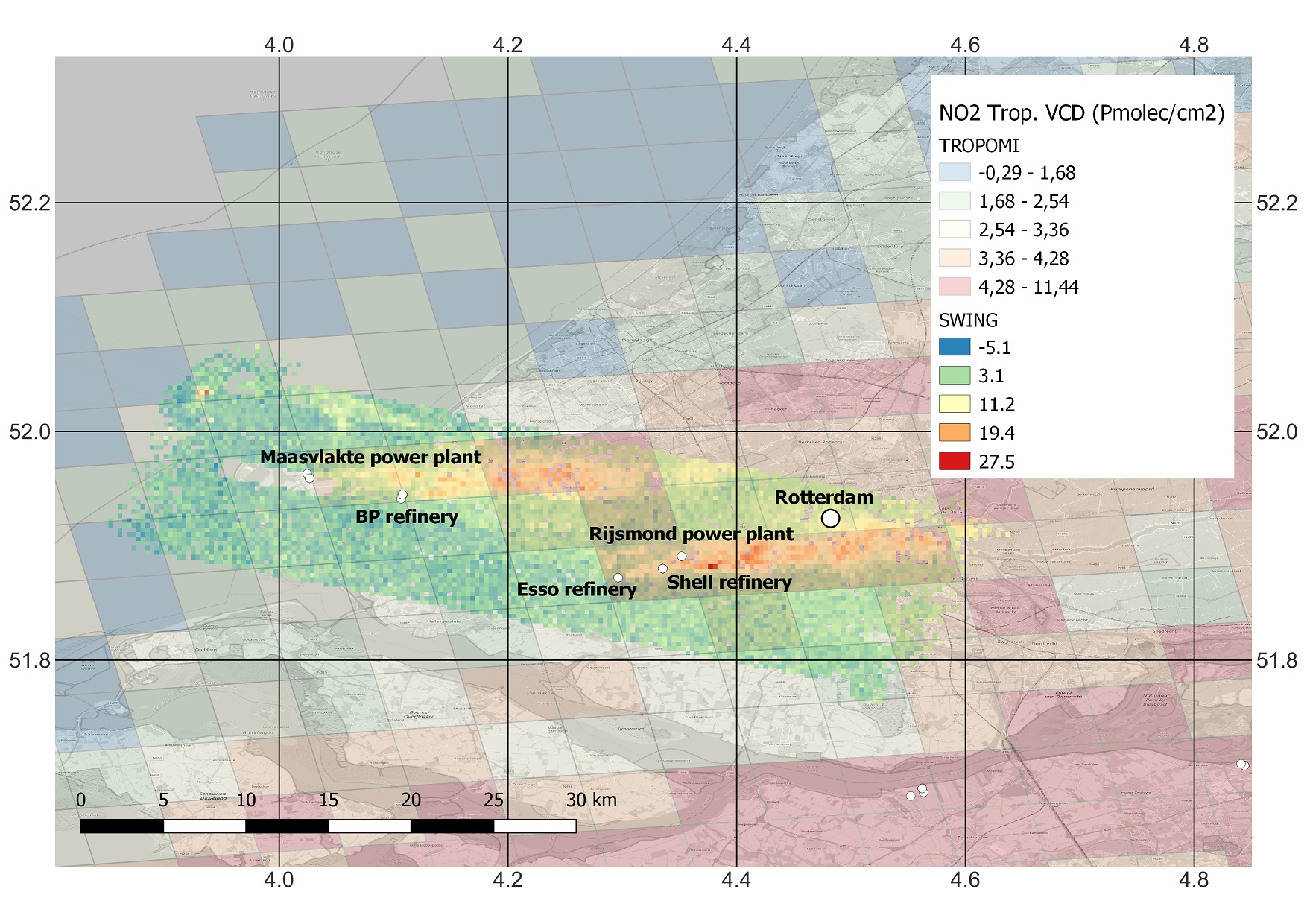
Distribution and concentrations of NO2 in the industrial and urban areas around Rotterdam on 7 June 2024, as documented by measuring devices onboard the Belgian aerial surveillance aircraft, in situ and other mobile measuring devices. (© BIRA/IASB)
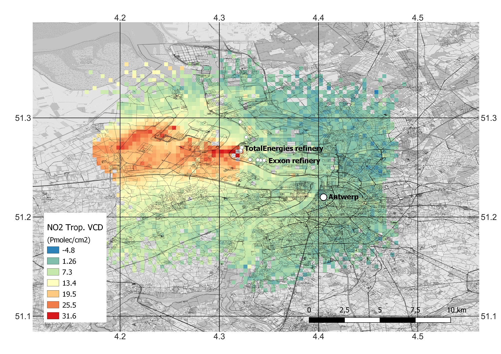
NO2 distribution and concentrations above Antwerp, measured from the Belgian aerial surveillance aircraft on June 26, 2024. (© BIRA/IASB)
All flights were carried out in synchronisation with the Copernicus Sentinel-5 Precursor satellite that carries the ESA TROPOMI instrument (Tropospheric Monitoring Instrument). This instrument maps various air quality and climate parameters. Thanks to the successful comparison of the observations of the measuring instruments on board the aircraft and on the ground, they can serve as a reliable reference for validating satellite instruments that measure air pollution from space.
The Belgian surveillance aircraft in action during the CINDI-3 measurement campaign (© Arnoud Apituley)
Source:
Moreau, K. Belgian Royal Institute of Natural Sciences. (2024, July 11). Successful participation in CINDI-3 measurement campaign.