Published on 25 February 2022
A pioneering open-access environmental monitoring system that helps to fuel the sustainable management of the natural world has launched.
The Landscape Evolution and Forecasting Toolbox, or LEAF, transforms data delivered by the Sentinel-2 mission of the European Union’s Copernicus Programme into global maps that reveal different aspects of vegetation cover, including canopy water content, leaf area index and many more. This information enables governments and industry to make decisions that boost prosperity while conserving natural resources for future generations to enjoy. The tool – which allows for free and open use – can support assessments of environmental changes and inform agricultural practices by delivering information such as crop growth and yield predictions.
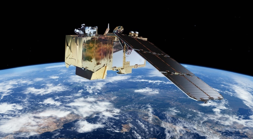
Copernicus Sentinel-2
Devised by the Canada Centre for Remote Sensing, LEAF is an application of Google Earth Engine, a cloud-based geospatial analysis platform that enables people to visualise and analyse satellite images of the planet. It was designed to address several challenges associated with deriving geophysical variables from Copernicus Sentinel-2 data, including the high-computing power required for data production and difficulties in applying new algorithms to datasets. To address these issues, LEAF applies deep learning models directly within Google Earth Engine.
The tool originally drew on imagery delivered by the Copernicus Sentinel-2 mission – which carries a high-resolution multispectral imager – and has now been expanded to also use data generated by the US-led Landsat missions.