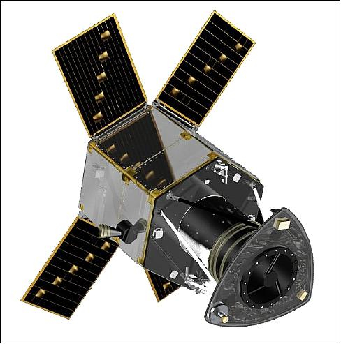
GEOSAT-2 (former Deimos-2) is an Earth-imaging satellite, built for GEOSAT of Spain, which launched 19 June 2014 and remains operational.
It is the second satellite of the GEOSAT Earth Observation system, following GEOSAT-1. The expected mission lifetime is at least seven years.
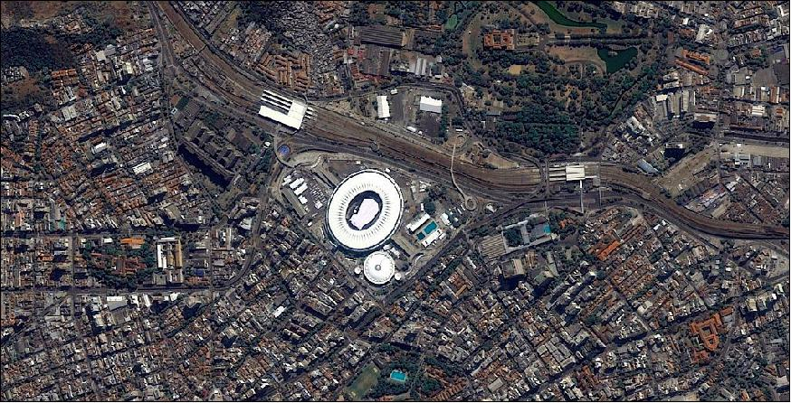
A high resolution satellite, it became the first European fully-private satellite capable of providing sub-metric multispectral imagery.
Satellite characteristics
Launch Date - End 19 June 2014 -
Status Operational
Orbit type Sun-synchronous near-circular orbit
Altitude 630
Orbit inclination 98
Equatorial crossing time 10:30:00
Satellite family: DEIMOS
The system of DEIMOS Imaging is based on a satellite with a multispectral optical instrument with a spatial resolution of 22 m and a wide swath of more than 600 km. The satellite records Earth images on board for a later downlink via the ground station under construction in the Technological Park of Boecillo (Valladolid, Spain).Sensor characteristics
| Sensor name | HiRAIS (High Resolution Advanced Imaging System) |
|---|---|
| Sensor short description | |
| Sensor type | Imaging radiometer (Vis/IR) |
| Resolution class | Submetric |
| Swath width (at nadir) | 12 km |
| Revisit frequency | 4 days |