Context and objectives
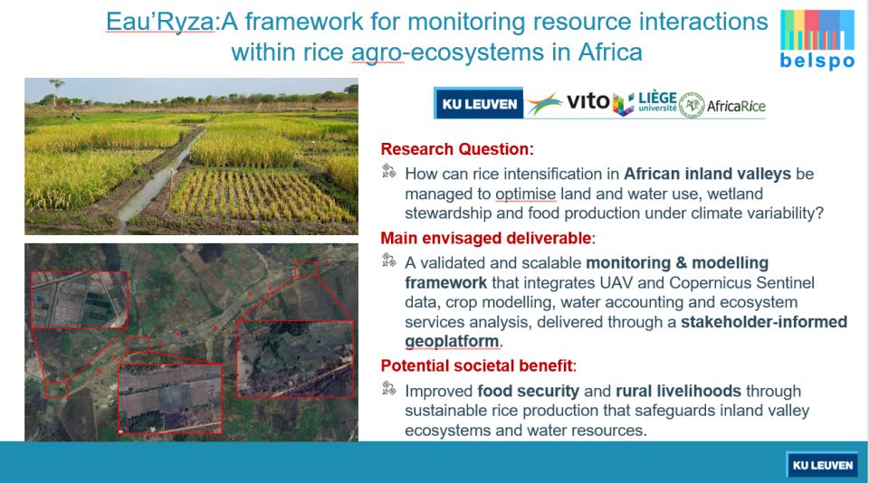
Rice is an important staple crop in Africa, but over 50% of the rice consumed in Africa is imported, contributing to food insecurity. Inland valleys integrate rice production with other crops, while also buffering water availability and providing ecosystem services. The intensification of rice production systems and climate change challenge the distribution of land and water resources between rice production systems and natural ecosystems. Advanced management techniques have been implemented in hundreds of inland valleys across Africa but their impacts on the water balance, natural ecosystems, and the provision of ecosystem services are still unclear and there are no existing spatial monitoring methodologies to compare the effects of various rice water management schemes on natural ecosystems. The main research objectives answer the following questions:
- How do different approaches to rice production intensification affect ecosystem services provision in inland valleys?
- How will climate-driven stressors affect water availability in these systems, and what trade-offs exist between rice production and natural systems under different management approaches?
- How can remote sensing data be used to improve crop yield estimation models and water accounting frameworks for complex agro-ecosystems in inland valleys?
Project outcome
Expected scientific results
- Implementation of satellite-based foundation model for African rice mapping
- Methods for spatial and temporal gap-filling of satellite data time series with UAV data
- Novel approaches for calibrating thermal satellite data using thermal UAV acquisitions
- UAV methods to collect training data for satellite models (rice yields and natural vegetation types)
- Integration of satellite and UAV data into crop models for predicting rice yields
- Water accounting framework comparing water allocation between rice and natural systems
Expected products and services
- Validated approach for collecting satellite model training data using UAVs
- Rice-specific crop yield models with satellite and UAV data inputs
| Project leader(s): | KULeuven - Division of Soil and Water Management | |||
| Belgian partner(s) | ||||
| International partner(s) |
|
|||
| Location: |
Continent:
Region:
|
|||
| Website: | https://ees.kuleuven.be/en/eauryza | |||