Context and objectives
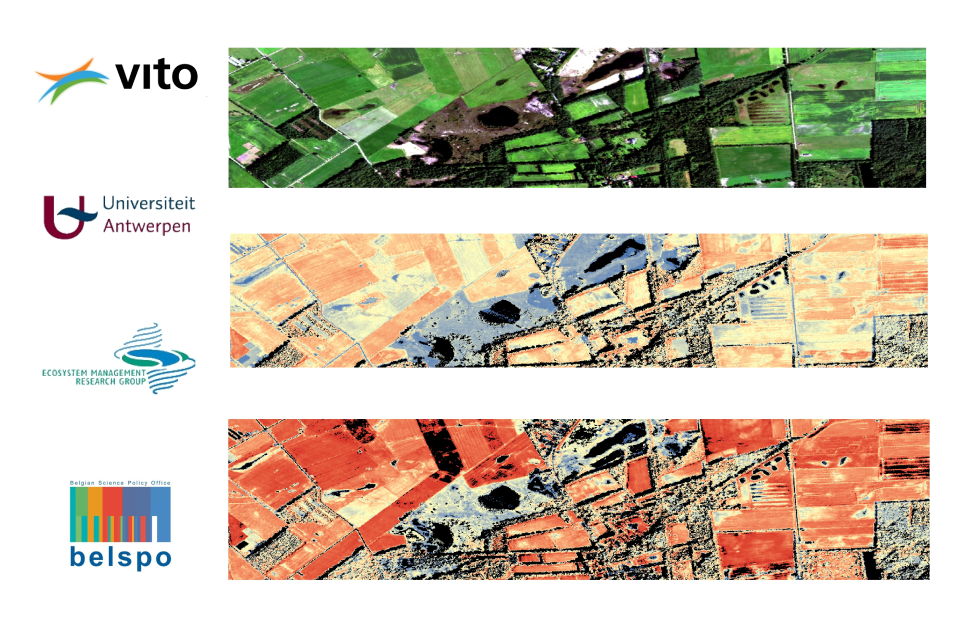
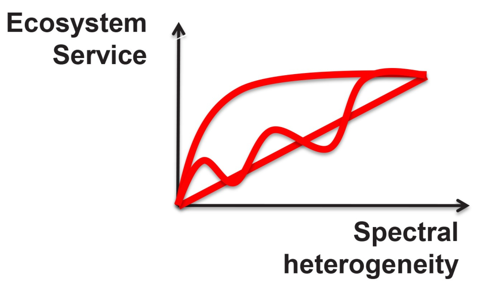
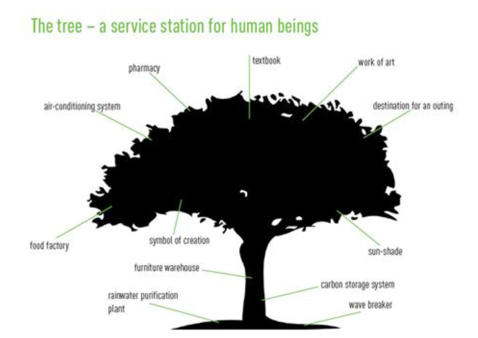
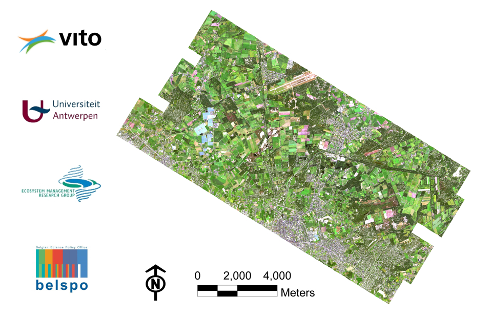
Around the world, leaders are increasingly recognizing ecosystems as natural capital assets that supply life-support services, i.e. ecosystem services, of tremendous value, e.g. water purification and carbon sequestration. In 2005, the Millennium Ecosystem Assessment documented the importance of ecosystem services to human well-being and showed that continued supply of these services is threatened by unsustainable anthropogenic activities. Nevertheless, despite the global recognition by scientists and policy makers, the science of ecosystem service mapping is still a key front in which advances are required, particularly concerning regulating services. Two key challenges of ecosystem services (ES) research lie in mapping the spatial heterogeneity of services, and addressing services at the right spatial scale. Bearing in mind the inherent spatially explicit properties of remote sensing (RS) data and the increasing number of available spatial scales and resolutions, it could prove to be a valuable input for examining several ecosystem services, especially the extent, location and pattern of ES. Hence, the main objectives of this project are to explore hyperspectral remote sensing data to: (1) detect ecosystem service hotspots; and (2) develop spatially explicit indices for ecosystem functioning that can be used to reveal spatial patterns of several regulating services like (1) water purification, more specifically de-nitrification, Nitrogen storage in ecosystems, and Phosphorus storage in ecosystems; (2) Primary production and climate regulation, more specifically: Carbon sequestration in ecosystems.s.