See also our news about data and tools.
SATELLITE DATA
ESA Earth online
 ESA distributes Earth observation data from ESA EO Missions, Third Party Missions (TPMs), ESA Campaigns, the Copernicus Space Component (CSC), as well as sample and auxiliary data from a number of missions and instruments. Data distributed by ESA is available under different data policies and by various access mechanisms.
Landsat Data Access
Since 1972, Landsat satellites have continuously acquired space-based images of the Earth’s land surface, providing data that serve as valuable resources for land use/land change research. Landsat data products held in the USGS archives can be searched and downloaded at no charge from a variety of sources.
NASA Earthdata Search
 Earthdata Search is a web application that helps you search, discover, visualize, refine, and access Earth observation data made available by NASA and other interagency and international partners. Aqua, Terra, Aura, TRMM, CALIPSO, NASA DC, ENVISAT, METEOSAT, GOES, Landsat, SMAP, MERRA, Nimbus, Suomi-NPP, NOAA satellites, GPS satellites, the list goes on…
NOAA's Comprehensive Large Array-from data Stewardship System (CLASS)
 The NOAA's library system offers environmental data from Polar-orbiting Satellites, Geostationary Satellites and other derived data. Currently, the NOAA National Data Centers support POES, DMSP, GOES, MetOp, Jason-2 data, and selected model reanalysis data.
PRISMA mission Hyperspectral products
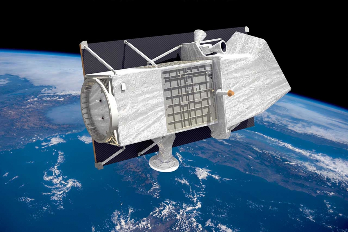
 The PRISMA (Hyperspectral Precursor of the Application Mission) mission fully funded by Italian Space Agency (ASI), is an Earth Observation system with innovative, electro-optical instrumentation that combine a hyperspectral sensor with a medium-resolution panchromatic camera, allowing to distinguish the geometric characteristics of the observed objects, but also the chemical-physical composition of the surface of the Earth. ASI has adopted a free data access policy with only few restrictions: data are provided free of charge and to everyone.
USGS Earth Explorer
 Beside Landsat data, USGS provides access to NASA’s ASTERdata, Shuttle Radar Topography Missions global Digital Elevation Models, as well as NASA’s Land Data Products and Services including Hyperion’s hyperspectral data, MODIS & AVHRR land surface reflectance and diverse Radar data.
Theia Satellite data
Theia Data and Services centre for continental surfaces was created by 9 French public institutions involved in EO and environmental sciences, in order to facilitate the use of satellite images of continental surfaces. Theia provides scientific community and public policies aiming to monitor and manage environmental resources with a wide range of images at different scales, among which Spot World Heritage data, LiDAR data or RADAR altimetry data.
SOFTWARE TOOLS
ECMWF Software
Software packages that are available from European Centre for Medium-Range Weather Forecasts (ECMWF)'s collaborative website.
EO4GEO Tools
The EO4GEO ecosystem of tools is a set of innovative collaborative tools which can be used independently or combined, depending on the user’s profile and needs. The tools are all based on the EO4GEO Body of Knowledge, which is made available through an API of the EO4GEO platform. All tools created are Licenced under the copyleft Licence GNU GPLv3.
ESA Thematic Exploitation Platform (TEP)
The availability of the growing volume of environmental data from space represents a unique opportunity for science and applications but it also poses a major challenge to achieve its full potential in terms of data exploitation. In this context ESA has developed six Thematic Exploitation Platforms to serve data user communities. TEPs provide an online environment to access information, processing tools and computing resources for collaboration and allow knowledge to be extracted from large environmental datasets produced through EU's Copernicus programme and other EO satellites.
ESA toolboxes
The ESA Earth Science platform proposes a lot of open-source toolboxes for extracting, viewing, analysing and processing various old or recent remote sensing data. See also the Scientific Toolbox Exploitation Platform
Eumetsat software
Eumetsat provides a range of software enabling users to extract data from Meteosat and Metop satellites.
Landsat Tools
Various files, tools, converters, and information to help better understand Landat acquisitions and data.
ORFEO ToolBox
 Orfeo ToolBox (OTB) is an open-source project for state-of-the-art remote sensing. Built on the shoulders of the open-source geospatial community, it can process high resolution optical, multispectral and radar images at the terabyte scale. A wide variety of applications are available: from ortho-rectification or pansharpening, all the way to classification, SAR processing, and much more!
QGIS
 QGIS is a free and open-source geographic information system (GIS) application that supports creating, editing, viewing, analysis and publishing of geospatial information. QGIS supports both vector and raster datasets, such as aerial photography, satellite imagery, modelled data, or elevation matrix. The software can georeference images and a free and open source Semi-Automatic Classification Plugin (SCP) created by the operators of the Sentinel Hub allows for the supervised classification of remote sensing images. It provides several tools for the download of free images, the preprocessing, the postprocessing, and the raster calculation. Search and download is available for ASTER, Landsat, MODIS, Sentinel-2, and Sentinel-3 images.
Sentinel Hub
 Sentinel Hub is a cloud based GIS platform for distribution, management and analysis of satellite data. It makes satellite data (Sentinels, Landsat and other providers) easily accessible for you to be browsed or analyzed, within the Sentinel Hub cloud GIS or within your own environment. Get satellite imagery on your table without worrying about synchronization issues, storage, processing, de-compression algorithms, meta-data or sensor bands.