News
You are here
Events and timed opportunities
Deadline 15 April 2023
Deadline 21 April 2023
International Symposium on Remote Sensing of Environment
Running from 24 April to 27 April 2023
54th International Liège Colloquium "Machine Learning and...
Running from 8 May to 12 May 2023
International Geoscience and Remote Sensing Symposium ...
Running from 16 July to 21 July 2023
ISPRS Geospatial Week 2023: "Remote Sensing for a Better...
Running from 2 September to 7 September 2023
EUMETSAT Meteorological Satellite Conference 2023
Running from 11 September to 15 September 2023

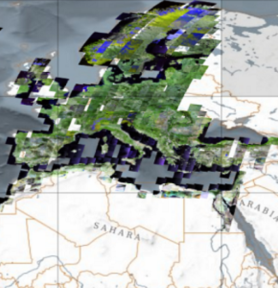
New collections available: Cloud Free Landsat 5 TM and Landsat 7 ETM+ European and Mediterranean Countries
Published on 24 November 2022
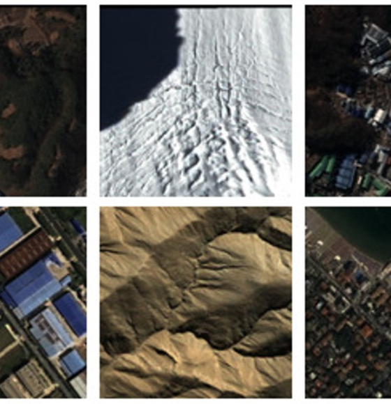
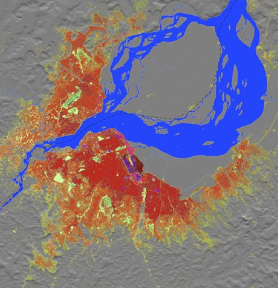
New worldwide dataset captures the planet in fine detail
Published on 17 November 2022
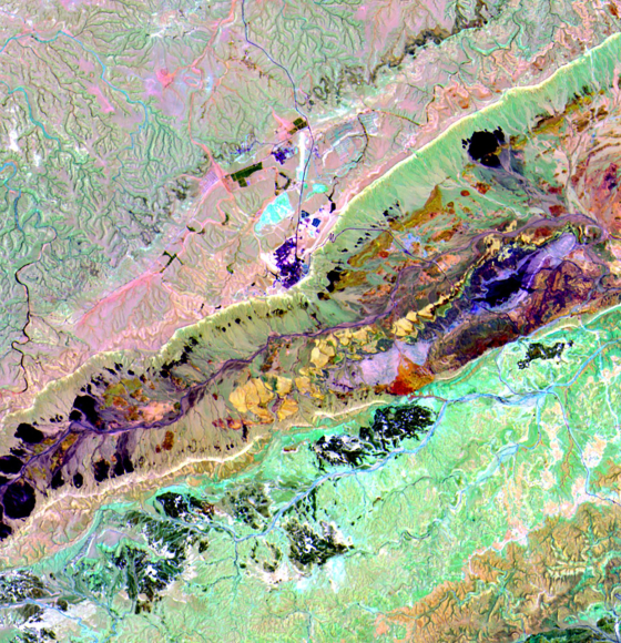
EnMAP is ready for science!
Published on 3 November 2022
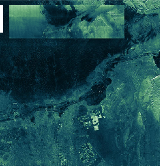
ICEYE ESA archive collection now available to users
Published on 7 October 2022
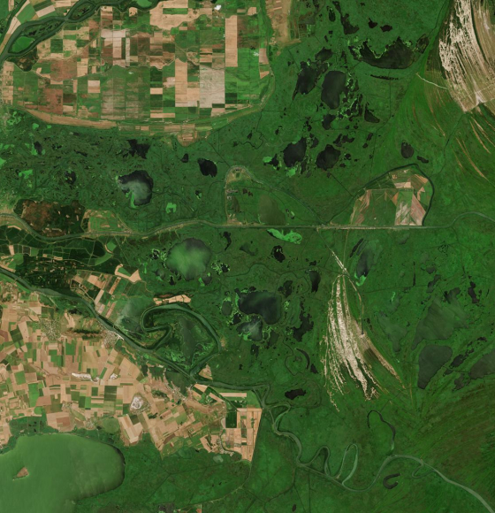
New rolling archive policy for Sentinel data in Terrascope
Published on 3 June 2022
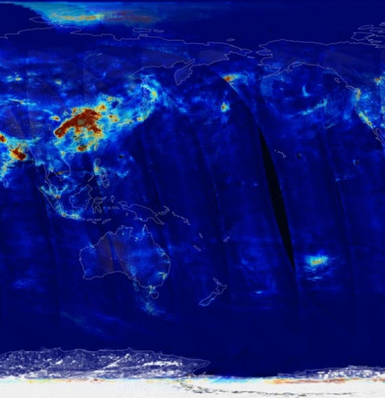
New Sentinel-5P air quality products coming up this year!
Published on 24 February 2022
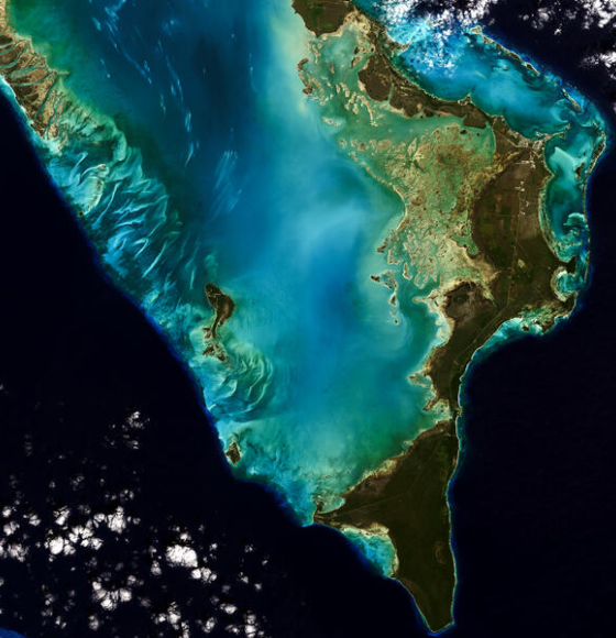
Landsat 9 Data Release Extends Unparalleled Earth Observation Archive
Published on 18 February 2022

Data from a real physical summer school now available for researchers
Published on 11 February 2022

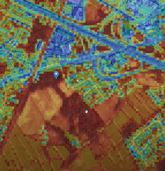
STEREO researchers develop new mapping tool
Published on 16 December 2021

ESA and NASA launch revolutionary open-source platform
Published on 4 November 2021

BELHARMONY: a Belgian initiative to harmonize multi-mission EO timeseries
Published on 11 February 2021

Sentinel-5P air quality data now available
Published on 8 February 2021

A workshop to discover the QGIS tools based on STEREO algorithms
Published on 11 December 2020

DINAMIS, a simplified access point to remote sensing data
Published on 5 November 2020

ICEYE Shares Nearly 18,000 Satellite Image Catalog Under Creative Commons License
Published on 13 October 2020

New satellite images to allow anyone, anywhere, to monitor tropical deforestation
Published on 13 October 2020

Free hyperspectral data from Italy's PRISMA satellite
Published on 17 August 2020

WEkEO V1 now available, offering a range of improvements and new functionalities
Published on 17 June 2020

RACE dashboard now available
Published on 5 June 2020

BELAIR: a wealth of Belgian data in support of research
Published on 2 June 2020

PROBA-V MEP, ready for an upgrade
Published on 20 May 2020

Aeolus goes public
Published on 12 May 2020

EUMETSAT implemented a new and improved Near-Real Time (NRT) Fire Radiative Power product
Published on 20 April 2020

WMO and ECMWF launch web tool to assess quality of weather observations
Published on 27 March 2020

PROBA-V: What's next?
Published on 27 March 2020

Terrascope! Open-source satellite data? Well spotted.
Published on 26 March 2020

New Pléiades images available – free of charge!
Published on 6 March 2020

Explore PROBA-V's extensive use cases
Published on 21 February 2020

Copernicus Sentinel-1 delivers change maps for wildfires
Published on 12 February 2020

Copernicus Global Land Cover Maps now Available in Google Earth Engine
Published on 4 February 2020

PROBA-V launches annual land cover maps over Africa
Published on 22 January 2020

Time to release the new and improved land cover maps
Published on 14 May 2019

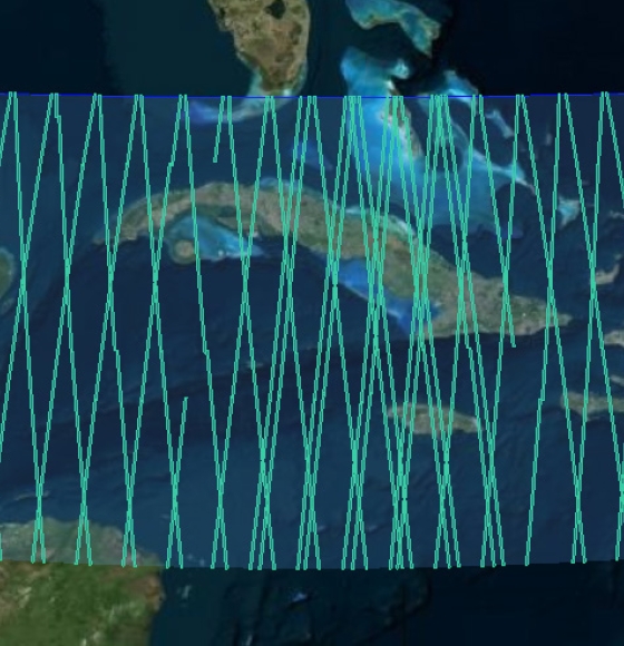
Open data: over 36,000 historical RADARSAT-1 satellite images of the Earth now available to the public
Published on 3 April 2019

Complete InSAR suite developed by CSL's Signal Lab
Published on 27 November 2018