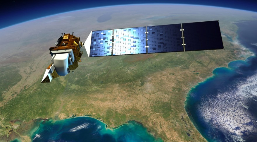


Satellite characteristics
Launch Date - End 10 February 2013 -
Status Operational
Orbit type sun-synchronous polar
Altitude 705
Orbit inclination 98.2
Equatorial crossing time 10:11:00
Orbit period 98.9
Satellite family: LANDSAT
The Landsat Program is a series of Earth-observing satellite missions jointly managed by NASA and the U.S. Geological Survey. Since 1972, Landsat satellites have collected information about Earth from space. This science, known as remote sensing, has matured with the Landsat Program.Landsat 1 (formerly named Earth Resources Technology Satellite -ERTS-1-) was launched on July 23, 1972. The launches of Landsat 2, Landsat 3, and Landsat 4 followed in 1975, 1978, and 1982, respectively.
When Landsat 5 launched in 1984, no one could have predicted that the satellite would continue to deliver high quality, global data of Earth’s land surfaces for 28 years and 10 months, officially setting a new Guinness World Record for "longest-operating Earth observation satellite." Landsat 6 failed to achieve orbit in 1993.
Landsat 7 successfully launched in 1999 and, along with Landsat 8, which launched in 2013, continues to provide daily global data. Landsat 9 is planned to launch in late 2020.
More information : The Landsat Mission (USGS)
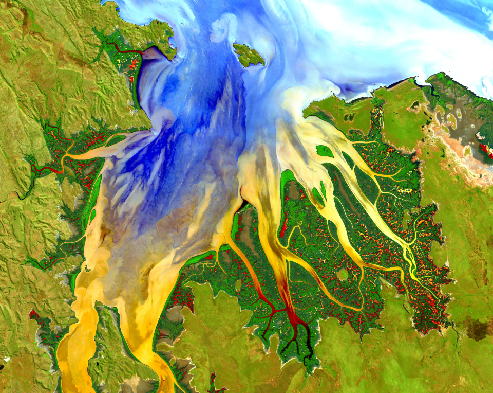
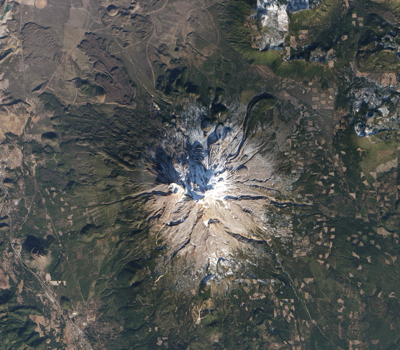
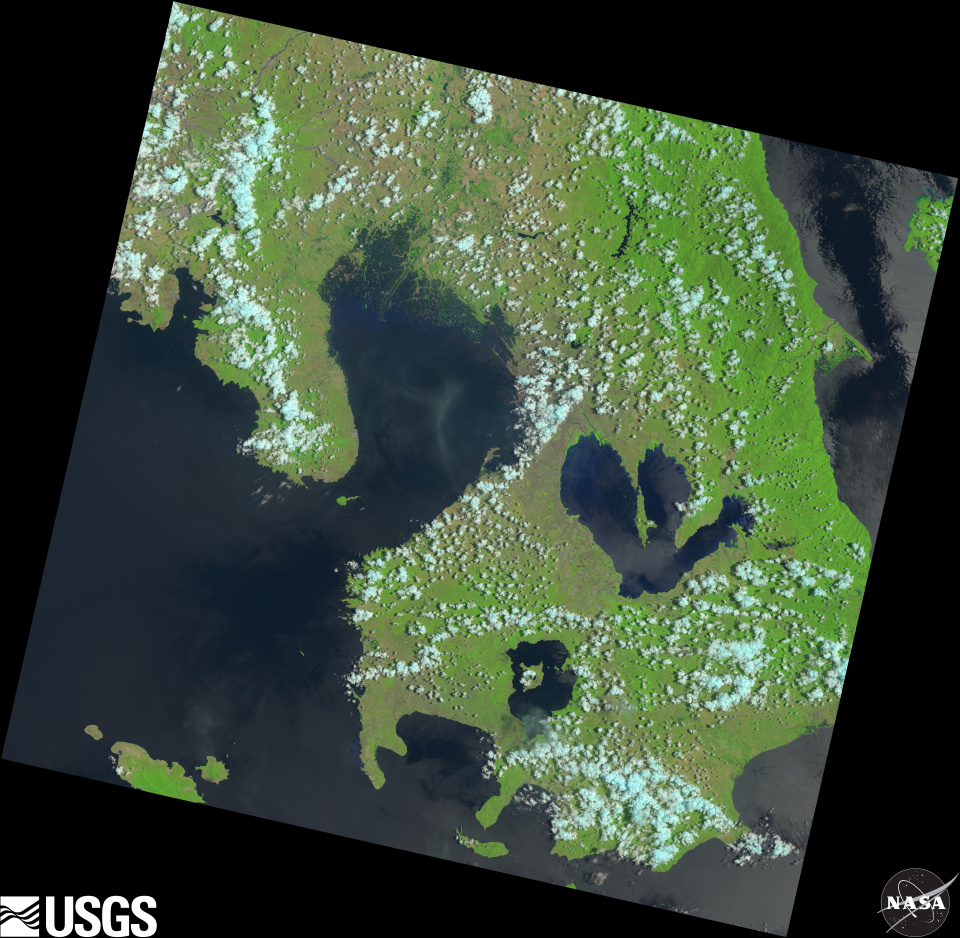
Sensor characteristics
| Sensor name | OLI (Operational Land Imager) |
|---|---|
| Sensor short description | |
| Sensor type | Imaging radiometer (Vis/IR) |
| Resolution class | High (5 - 30 m) |
| Spatial resolution | 15 - 30 |
| Swath width (at nadir) | 185 km |
| Revisit frequency | 16 days |
| Sensor name | TIRS (Thermal Infrared Sensor) |
|---|---|
| Sensor short description | |
| Sensor type | Imaging radiometer (Vis/IR) |
| Resolution class | Medium (30 - 300 m) |