Context and objectives
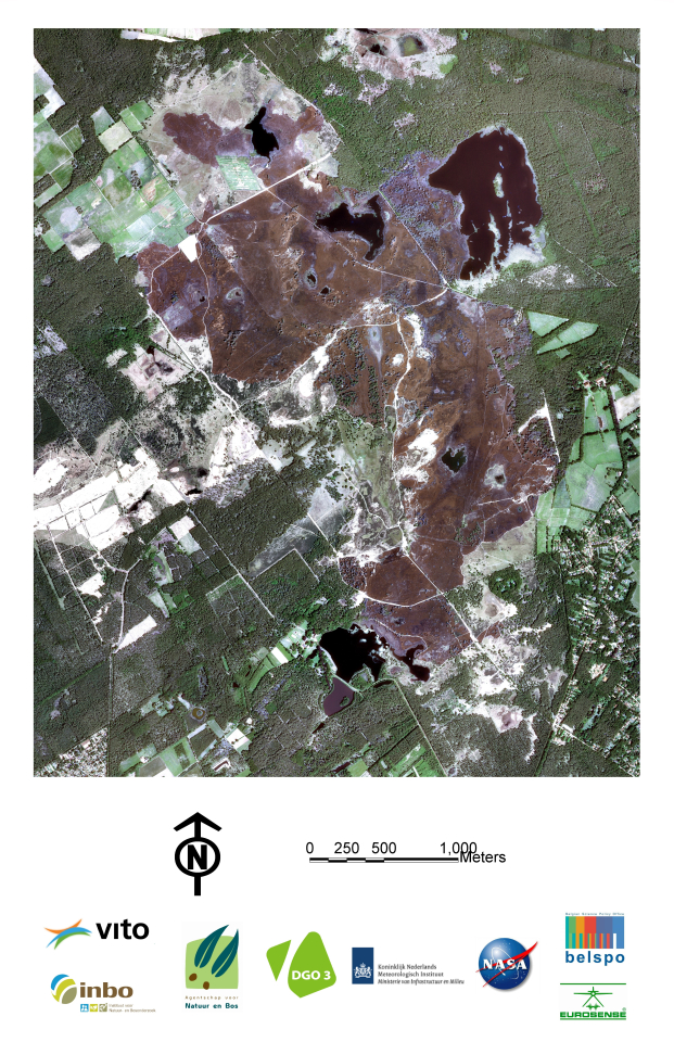
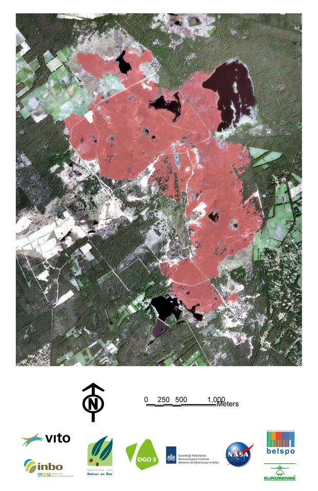
Heathland and peat bogs are highly valued as habitats for biodiversity conservation and as landscapes of common European cultural heritage. In the past decades, a lot of efforts and resources have been invested to protect the remaining areas, and to properly manage them in order to conserve their intrinsic value. In Belgium, continuing external pressure on heathlands and peat-bogs, such as nitrogen deposition and desiccation, however remain high, endangering the long-term positive outcome of these investments. The recent catastrophic wildfires of 2011 in the nature reserves in the Kalmthoutse Heide (Flanders) and the Hautes Fagnes (Wallonia) have raised a lot of public concern regarding the vulnerability of these unique heathland ecosystems to uncontrolled fires.
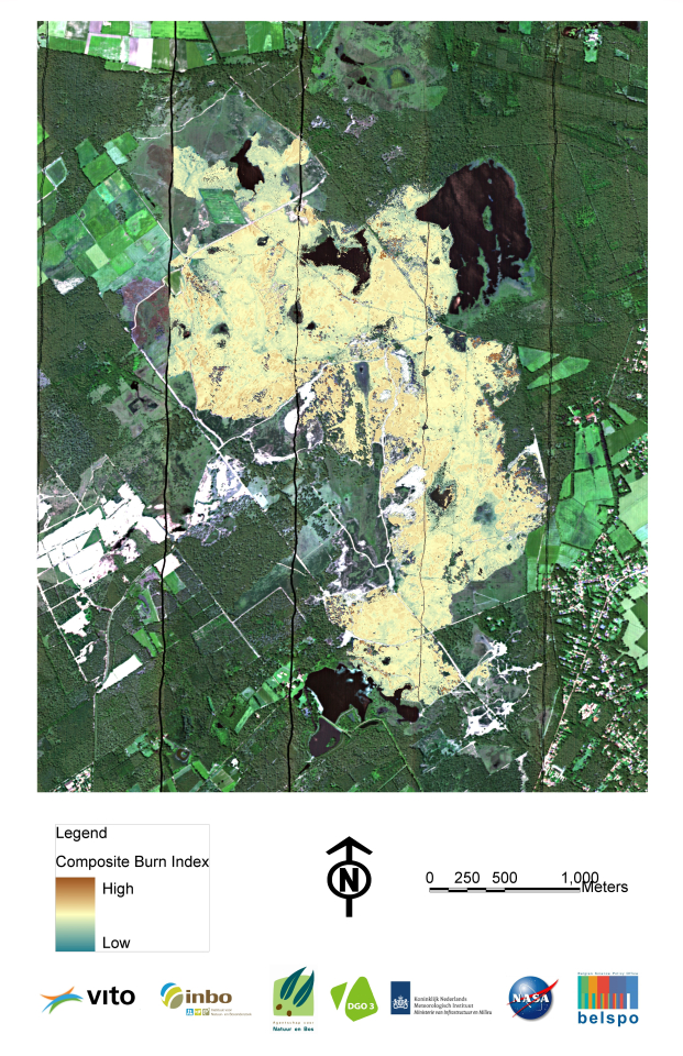
The overall objective of this project is to use Remote Sensing as a tool to spatially and temporally investigate the complex interactions between fires and heathland ecosystems.