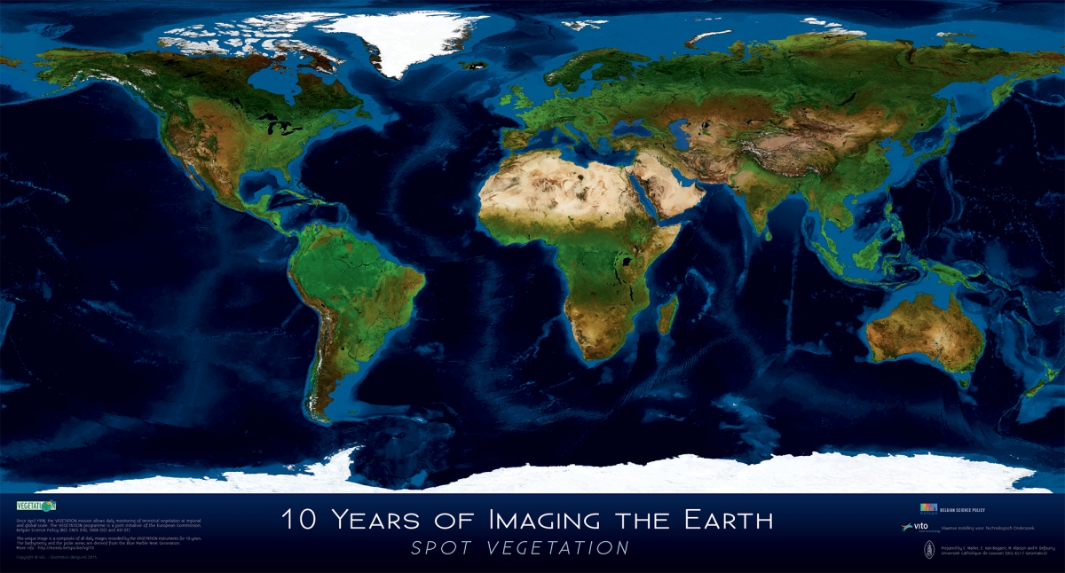
To celebrate the 10th anniversary of the VEGETATION system (1998-2008), the STEREO team and the Laboratoire de Géomatique of the UCL have collaborated to design a series of 7 posters covering the whole Earth, with the exception of the poles.
The global poster and the 6 posters of the continents are derived from daily data collected from 1998 to 2008 by the VEGETATION instrument onboard the satellite SPOT-4 and SPOT-5. The images were processed to highlight at best the diversity of the areas. The bathymetry and the polar regions are in turn derived from the NASA project Blue Marble next generation.
Regarding the continents, the boundaries are very lightly drawn, the capitals are represented by a black square and the most densely populated cities with a black circle (the minimum number of people depends on the continent: 0.1 million inhabitants for Oceania, 1 million for Europe, 1.5 million for North America, 2 million for South America, 3 million for Africa and 5 million for Asia).
For each continent some of the main processes experienced in the last 10 years are underlined through 5 very visual insets which invite you to do a more thourough study of the subjects via this website.