![]() BELAIR is a Belgian STEREO initiative which was set up to monitor a number of study sites in Belgium with as many types of different data as possible. Over these sites in-situ data, UAV , airborne imaging and satellite data of different spectral and spatial resolutions are collected a regular intervals.
BELAIR is a Belgian STEREO initiative which was set up to monitor a number of study sites in Belgium with as many types of different data as possible. Over these sites in-situ data, UAV , airborne imaging and satellite data of different spectral and spatial resolutions are collected a regular intervals.
The objective is twofold:
- contribute to the calibration and validation of EO missions, data and products;
- foster collaborative research within the Belgian remote sensing community. Many institutes are indeed involved: CRAW, ISSEP, INBO, KUL, UCL, UHasselt, VITO (coordinating), VUB, …
Currently 4 subsites are active, each having a separate thematic focus:
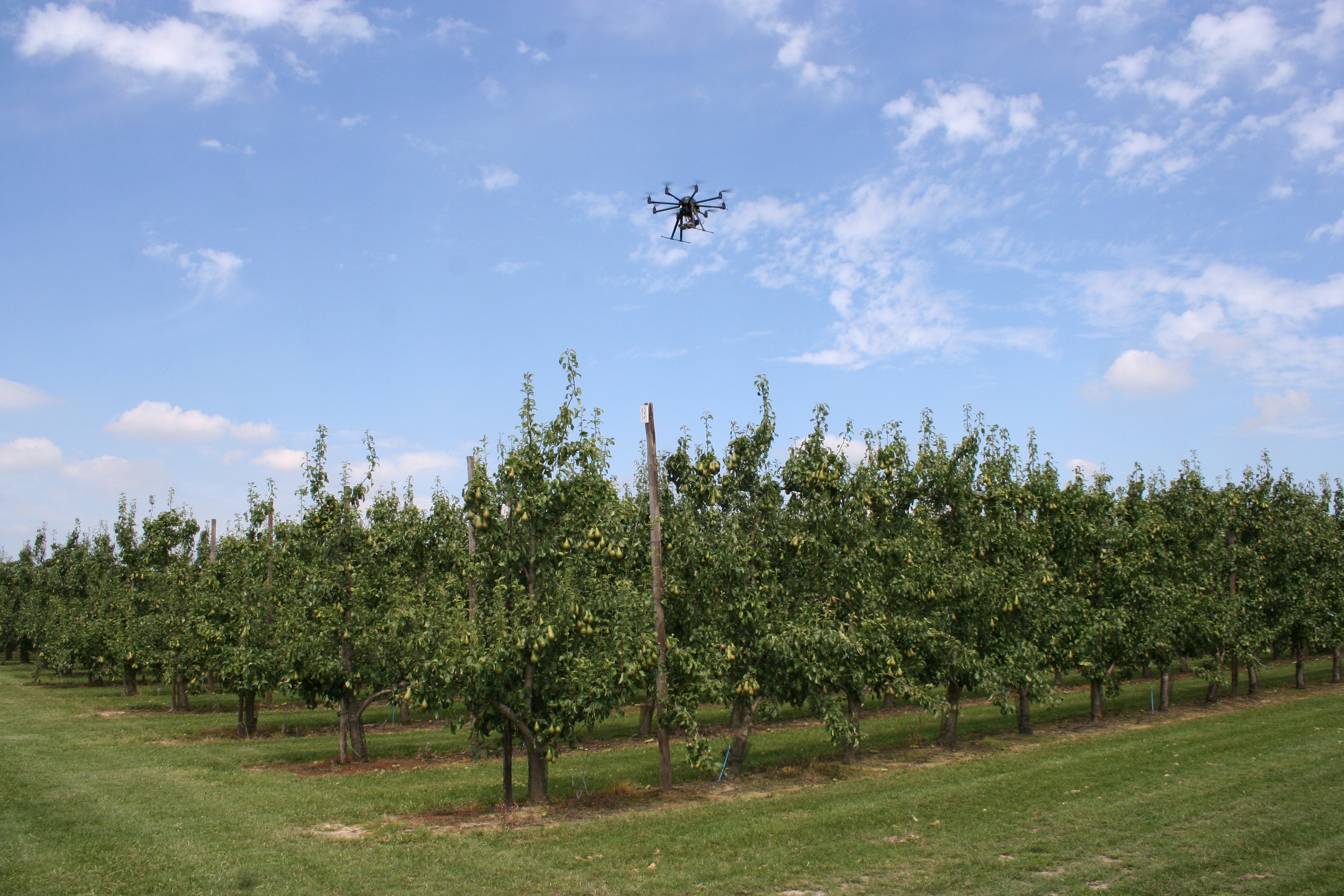
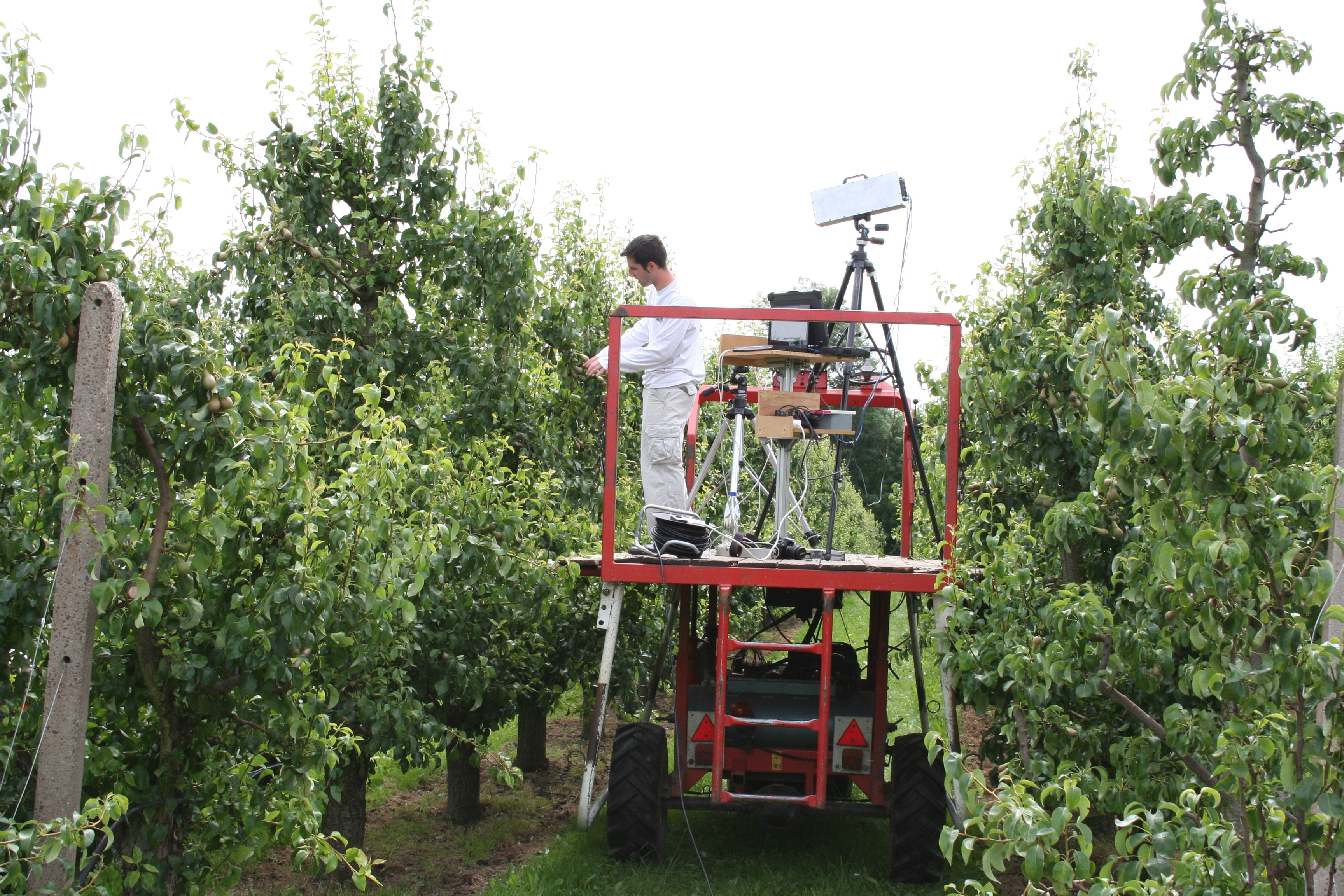
- HESBANIA (over the fruit and agricultural area between Sint Truiden and Gembloux): agriculture and horticulture;
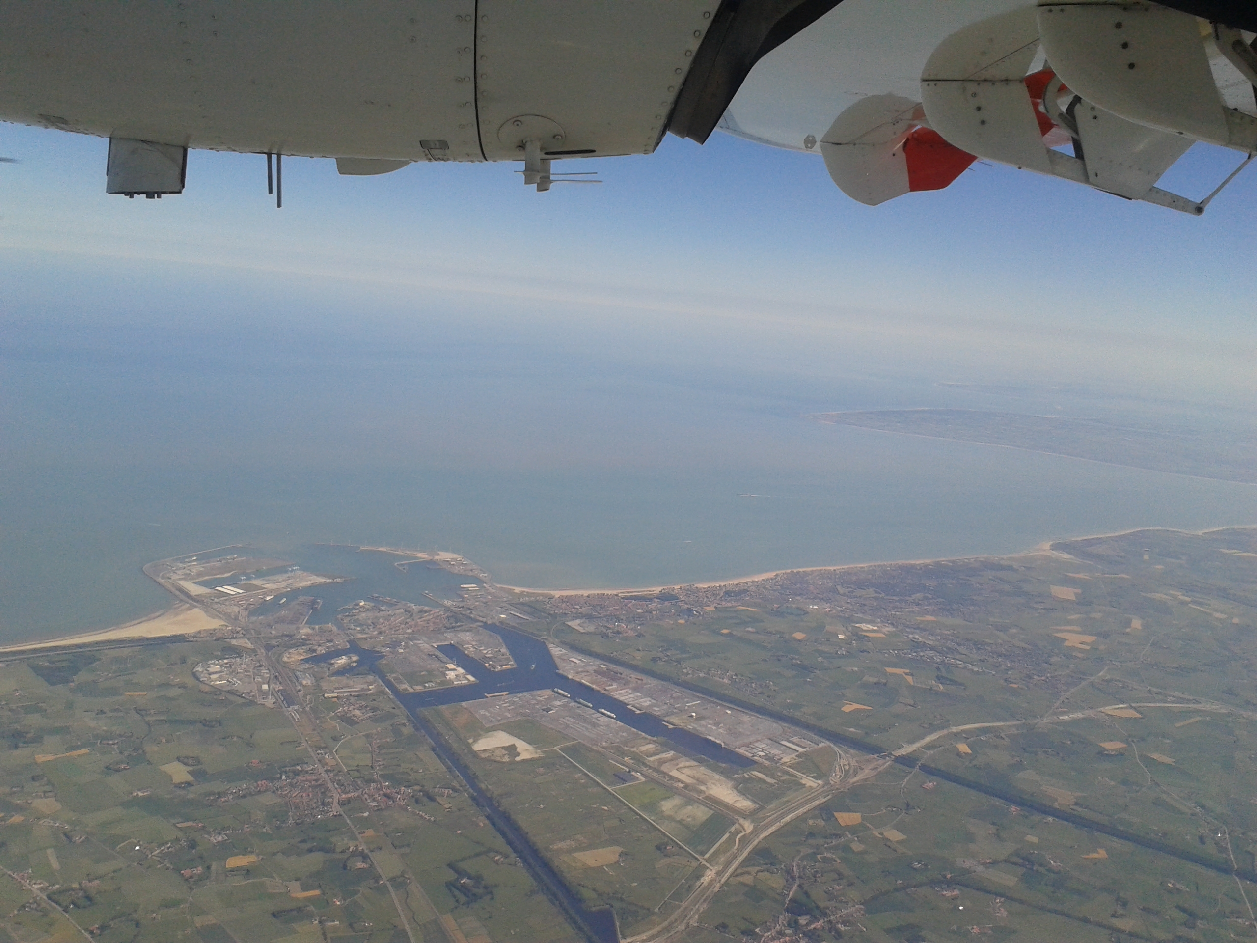
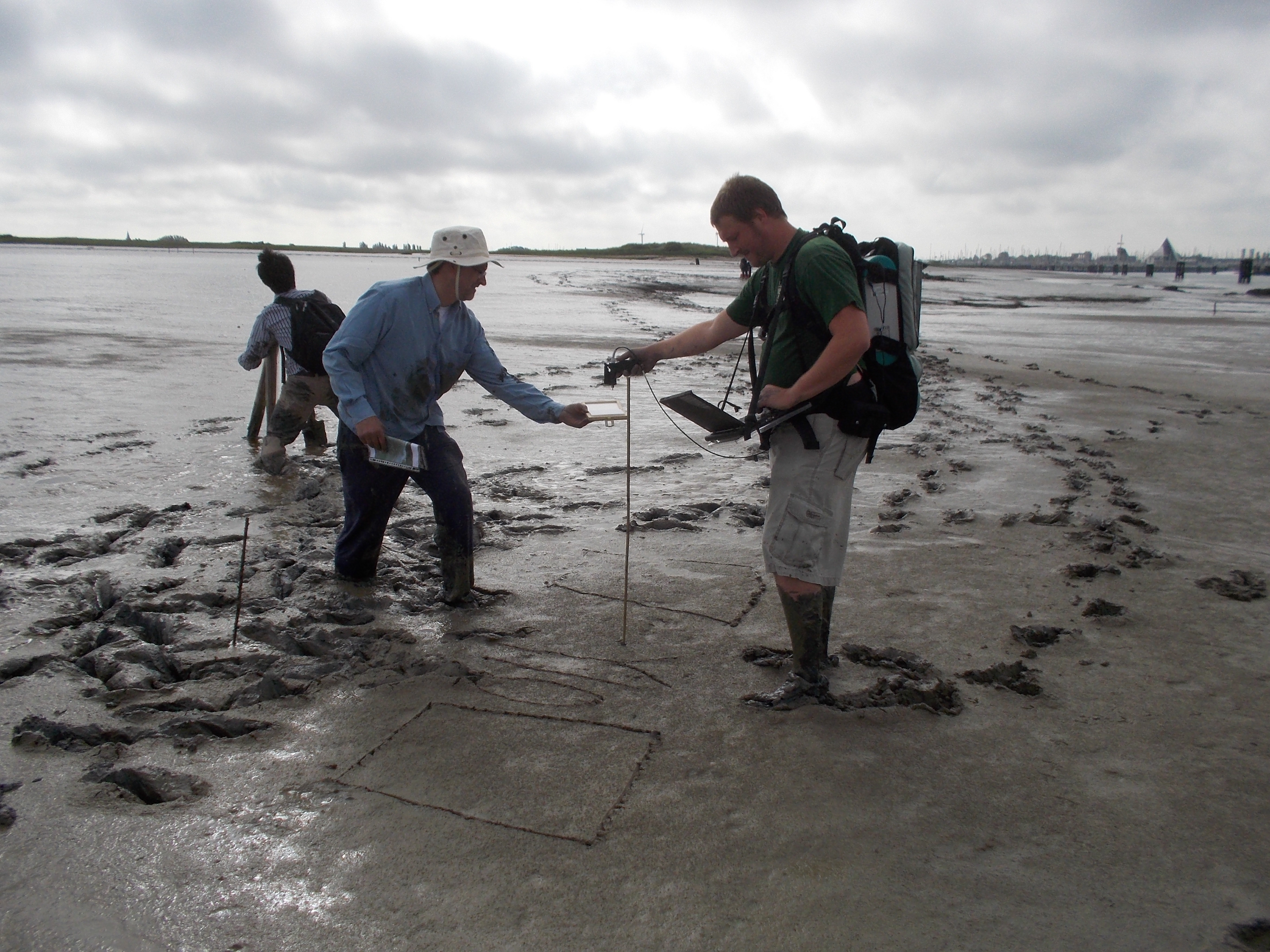
- LITORA (located close to the Belgian coast): coast and biodiversity;
- SILVA (over forests between Jalhay and Vielsalm): forestry and grasslands;
- SONIA (over the Brussels capital): urban and forestry.
All interested users can apply to download the collected data.
IGARSS Summer School 2021 campaign
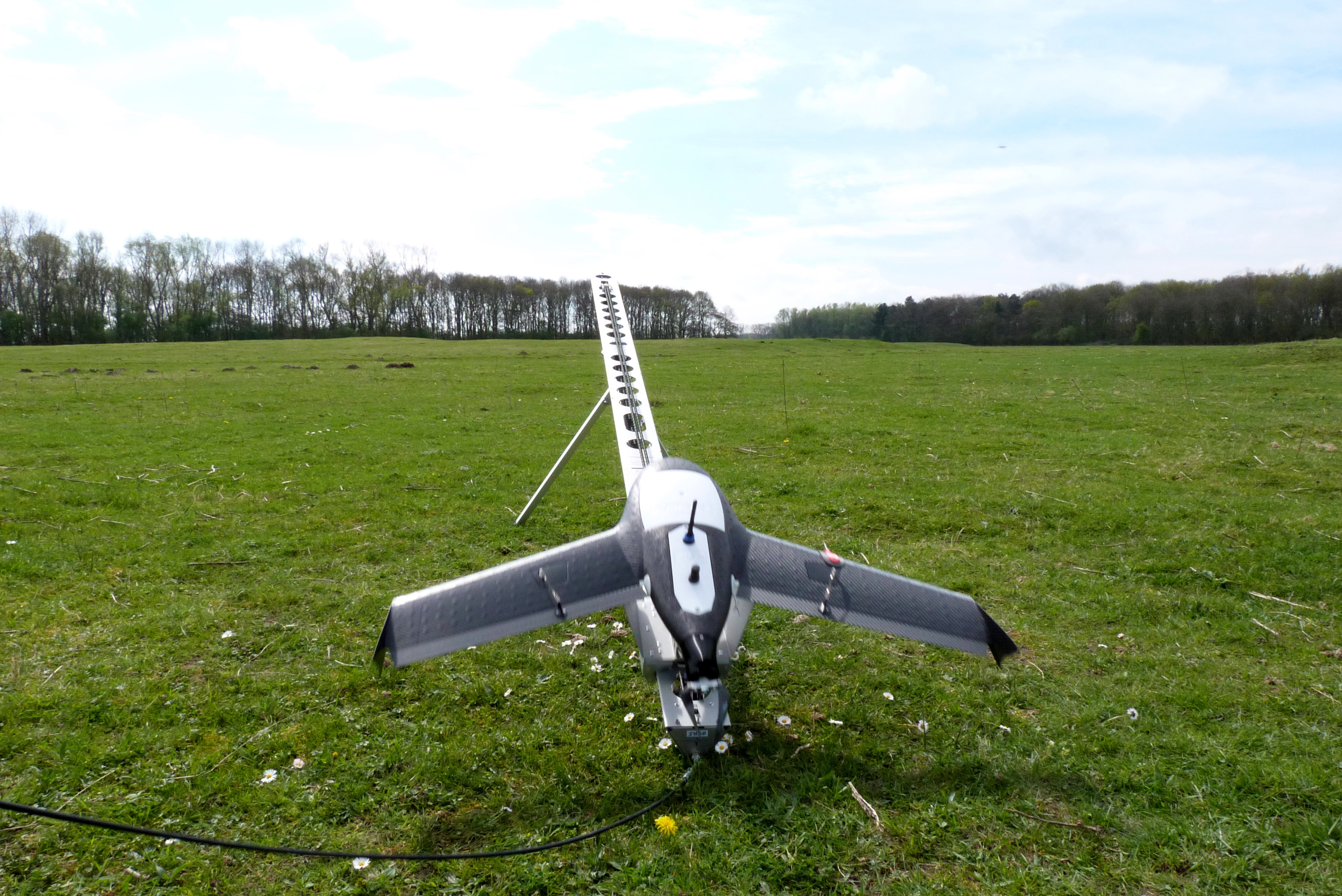
In the frame of IGARSS2021's Summer-School, a drone-based data set was collected on September 10, 2021 on the BELAIR HESBANIA site.
Several sensors were deployed: 2 types of RGB (Red Green Blue) cameras, 3 types of multispectral cameras, 2 types of thermal cameras, 2 types of hyperspectral cameras and 1 LiDAR instrument.
Simultaneously with the airborne data acquisition, ground reference data were acquired both from geometrical and spectral Ground Control Points (GCP's), on bare ground and in fields covered by three different crops: corn, sugar beet and apple trees (Braeburn) at developed growth stage.
The geometrically and radiometrically calibrated imagery, together with full explanatory documentation, is available for STEREO researchers via a dedicated workspace and after registration by contacting VITO.
In case you use the data, please refer to them with the following mention:
"All airborne and groundtruth data have been collected in the context of the IGARSS 2021 Summerschool, held at Droneport (Belgium). The Summerschool was jointly organised by VITO Remote Sensing, The Royal Military Academy of Belgium, and the University of Ghent. The organizers thank the Belgian Science Policy Office and the Institute of Electrical and Electronics Engineers for the financial support."
2013 - 2015 - 2017 Campaigns
In the summers of 2013, 2015 and 2017 hyperspectral data were collected at different sites. Data was acquired from field instruments, from RPAS platforms and from a manned aircraft. This combination of platforms enables researchers to foster the full value of remotely sensed data.
In situ or field measurements mainly support the processing of the airborne images as they represent only single points from the area of interests. RPAS platforms (fixed wing and rotary types) collected RGB (red green blue) imagery and hyperspectral mages at all BELAIR subsites. With the manned aircraft it is possible to cover a larger area, or areas in which unmanned aircrafts are not allowed to operate, at a lower spatial resolution with heavier instruments.
After processing these data sets have been made available for research.