Satellite characteristics
Launch Date - End 3 May 2002 -
Status Operational
Orbit type Sun-synchronous circular orbit
Altitude 705
Orbit inclination 98.2
Equatorial crossing time 13:30:00
Orbit period 98.8
Satellite family: EOS (Earth Observing System)
The Earth Observing System (EOS) is a major component of NASA's Earth-Sun System Missions. The mission includes a series of satellites, a science component, and a data system supporting a coordinated series of polar-orbiting and low inclination satellites for long-term global observations of the land surface, biosphere, solid Earth, atmosphere, and oceans. EOS is enabling an improved understanding of the Earth as an integrated system.Sensor characteristics
| Sensor name | AIRS (Atmospheric Infrared Sounder) |
|---|---|
| Sensor short description | |
| Sensor type | Atmospheric instrument |
| Resolution class | Very Low (> 1 km) |
| Swath width (at nadir) | 40 km |
| Max look angle | 0 ° |
| Sensor name | AMSR-E (Advanced Microwave Scanning Radiometer-EOS) |
|---|---|
| Sensor short description | |
| Sensor type | Imaging radiometer (passive microwave) |
| Resolution class | Very Low (> 1 km) |
| Swath width (at nadir) | 1445 km |
| Max look angle | 61 ° |
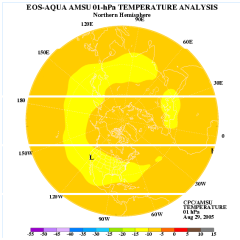
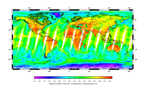
| Sensor name | AMSU (Advanced Microwave Sounding Unit) |
|---|---|
| Sensor short description | |
| Sensor type | Atmospheric instrument |
| Resolution class | Very Low (> 1 km) |
| Swath width (at nadir) | 1690 km |
| Revisit frequency | 1 days |
| Max look angle | 50 ° |
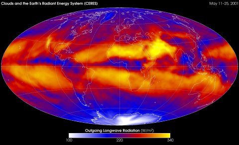
| Sensor name | CERES (Clouds and the Earth's Radiant Energy System) |
|---|---|
| Sensor short description | |
| Sensor type | Imaging radiometer (Vis/IR) |
| Resolution class | Very Low (> 1 km) |
| Max look angle | 78 ° |
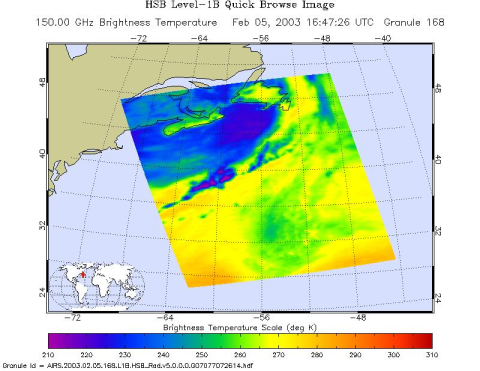
| Sensor name | HSB (Humidity Sounder for Brazil) |
|---|---|
| Sensor short description | |
| Sensor type | Atmospheric instrument |
| Resolution class | Very Low (> 1 km) |
| Swath width (at nadir) | 1650 km |
| Max look angle | 50 ° |
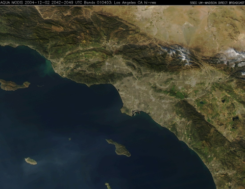
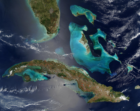
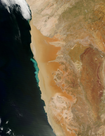
| Sensor name | MODIS (Moderate-Resolution Imaging Spectroradiometer) |
|---|---|
| Sensor short description | |
| Sensor type | Imaging radiometer (Vis/IR) |
| Resolution class | Medium (30 - 300 m) |
| Swath width (at nadir) | 2330 km |
| Revisit frequency | 2 days |

