Satellite family: PROBA (Project for On-Board Autonomy)
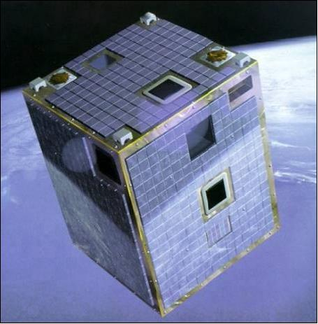
Proba stands for PRoject for OnBoard Autonomy. The Proba satellites are among the smallest and most advanced spacecraft ever to be flown by ESA.
The first satellite in the series, PROBA-1, was launched in October 2001, as a technology demonstration mission, and it is now operating as an Earth Observation Third Party Mission.
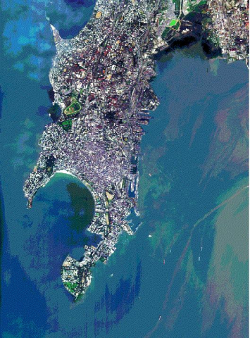
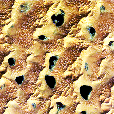
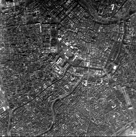
PROBA-1 performs autonomous guidance, navigation, control, onboard scheduling and payload resources management. Its payload includes a compact multi-spectral imager and high-resolution camera.
PROBA-2 is the second of ESA's 'PRoject for OnBoard Autonomy' spacecraft, part of ESA's in-orbit Technology Demonstration Programme. Launched on 2 November 2009, the PROBA2 spacecraft carries a number of technology demonstrators as well as four scientific experiments that address topics in solar science and space weather.
Launched on 7 May 2013, PROBA-V is a miniaturised ESA satellite tasked with a full-scale mission: to map land cover and vegetation growth across the entire planet every two days.
Its main camera’s continent-spanning 2250 km swath width collects light in the blue, red, near-infrared and mid-infrared wavebands at 300 m resolution and down to 100 m resolution in its central field of view.
The minisatellite supplies scientific teams with data previously provided by the Vegetation instrument hosted on France’s full-sized SPOT-4 and SPOT-5, adding each day to an overall dataset that extends back some 15 years.


