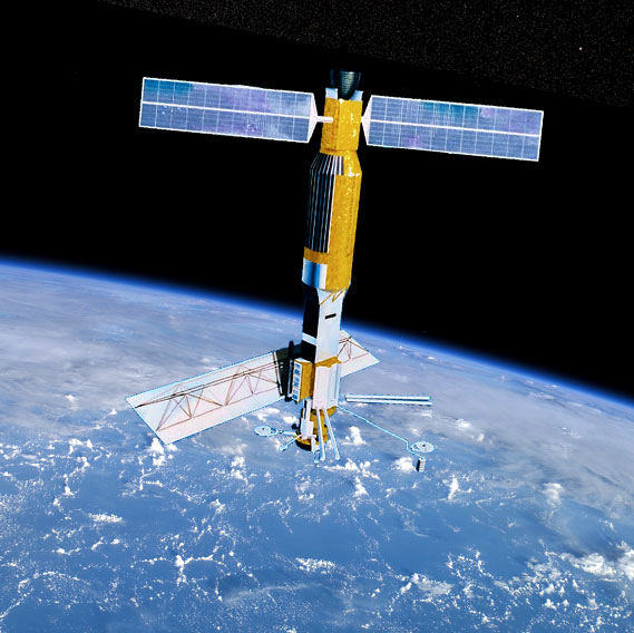
Satellite characteristics
Launch Date - End 26 June 1978 - 9 October 1978
Status Decommissioned
Orbit type Polar near circular orbit
Altitude 799
Orbit inclination 108
Orbit period 101
Satellite family: NASA-JPL Missions
In the late 1970s, JPL engineers and scientists realized that the sensors they were developing for interplanetary missions could be turned upon Earth itself to better understand our home planet. This has led to a series of highly successful Earth-monitoring missions that have evolved into a major segment of the Laboratory’s activities, now sponsored by NASA’s Science MissionDirectorate.
In 1978, JPL built an experimental satellite called Seasat to test a variety of oceanographic sensors including imaging radar, altimeters, radiometers and scatterometers. Many of the later Earth-monitoring instruments developed at JPL owe their legacy to the Seasat mission.
QuikScat was launched in 1999 and was carrying a scatterometer called SeaWinds that collected data until 2010.
Sensor characteristics
| Sensor name | ALT (Radar Altimeter) |
|---|---|
| Sensor short description | ALT was a Ku-band compressed pulse radar altimeter. Objective: Determination of sea surface profiles, currents, wind speeds and wave heights (first attempt to achieve 10 cm altitude precision from orbit). |
| Sensor type | Radar altimeter |
| Resolution class | NA |
| Swath width (at nadir) | 2 km |
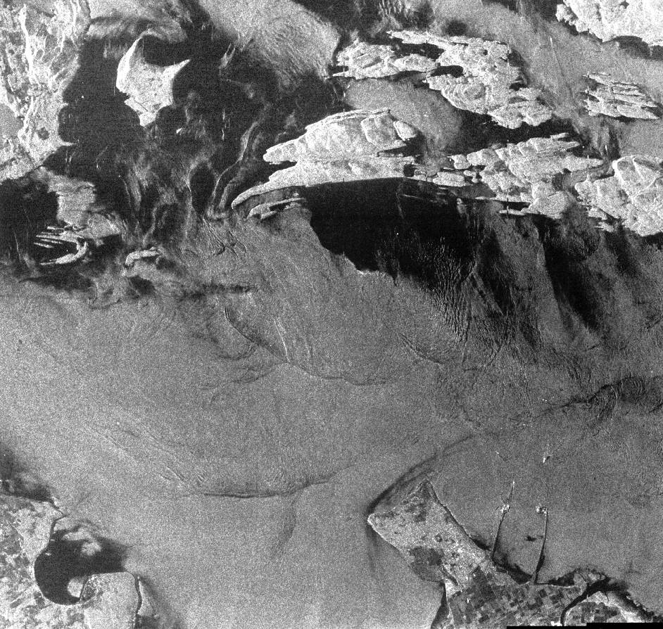
| Sensor name | SAR (Synthetic Aperture Radar) Seasat |
|---|---|
| Sensor short description | The Seasat SAR sensor is regarded as the first imaging SAR system used in Earth orbit. A SAR antenna is mounted on the S/C with its boresight oriented at 20º from the vertical direction (look angle), pointing to the right of the flight path. |
| Sensor type | Imaging microwave radar |
| Resolution class | High (5 - 30 m) |
| Swath width (at nadir) | 100 km |
| Max look angle | 20 ° |
| Sensor name | SASS (Seasat-A Scatterometer System) |
|---|---|
| Sensor short description | |
| Sensor type | Scatterometer |
| Resolution class | NA |
| Swath width (at nadir) | 500 km |
| Sensor name | SMMR (Scanning Multichannel Microwave Radiometer) |
|---|---|
| Sensor short description | SMMR is a multispectral, dual-polarization microwave radiometer observing in K-band (~0.75cm to ~2.5cm), X-band (~2.5cm to ~4.0cm) and C-band (~4.0cm to ~8.0cm). |
| Sensor type | Imaging radiometer (passive microwave) |
| Resolution class | Very Low (> 1 km) |
| Spatial resolution | 22 km to 120 km |
| Spectral bandwidth | 6.6 GHZ (45.4 mm) 10.7 GHz (28 mm) 18.0 GHz (16.6 mm) 21.0 GHz (14.2 mm) 37.0 GHz (8.1 mm) |
| Swath width (at nadir) | 600 km |
| Max look angle | 42 ° |
| Sensor name | VIRR (Visible and Infrared Radiometer) |
|---|---|
| Sensor short description | |
| Sensor type | Imaging radiometer (Vis/IR) |
| Resolution class | Very Low (> 1 km) |