Context and objectives
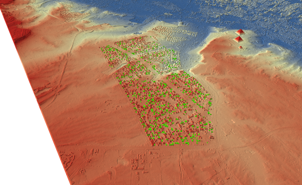
Recent developments in remote sensing (RS) have great potential for urban, environmental and archaeological applications. This interdisciplinary project, which brings together a variety of Belgian and Dutch research institutions, aims to evaluate the potential of RS-imagery to model the human-environment interactions in large fluvial systems through time and the impact of these interactions on the natural and cultural heritage. The use of advanced technologies like geomatics in geo-archaeology represents an innovative methodological approach based on detection, map collection and extrapolation of previously unrecognised cultural landmarks and local environmental phenomena. Collecting information from cultural landscapes in danger of disappearing is also highly topical and resonate both within public and academic spheres of interest. In order to achieve the overriding aim, several specific objectives are addressed:
- to generate 3D-models from a variety of RS sources and evaluate the potential and complementarities of different RS data/techniques for assessing changes in natural and anthropogenic systems
- to test the potential of different data sources for making a regional inventory of above- and below-ground archaeological remains to evaluate the possibilities of RS data
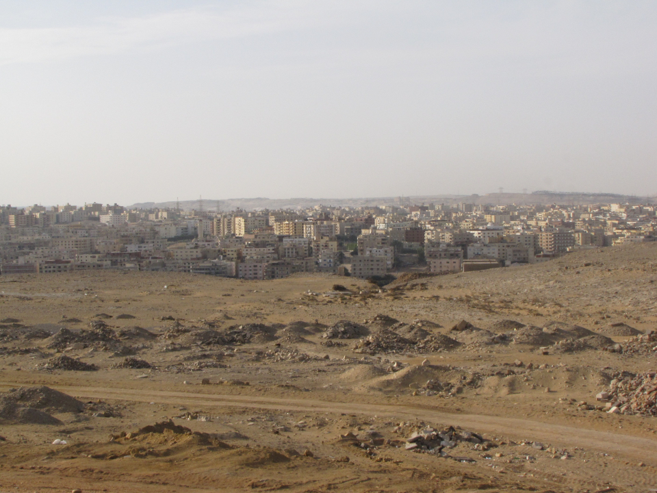
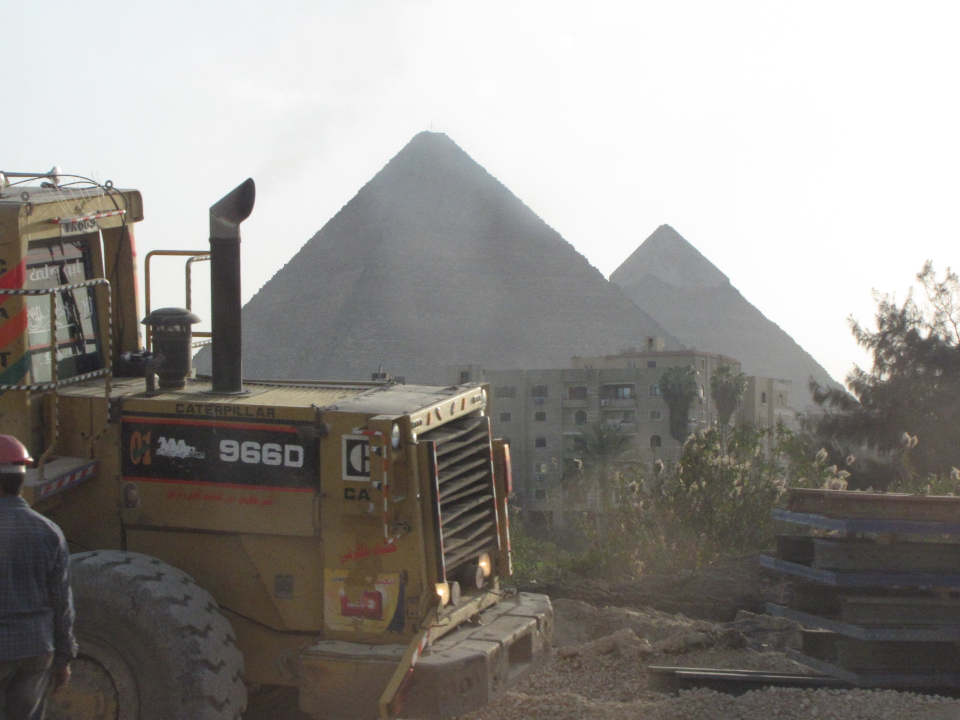
- to study human-environment interactions and to asses the impact of urban development on the natural and cultural heritage
