Context and objectives
![]()
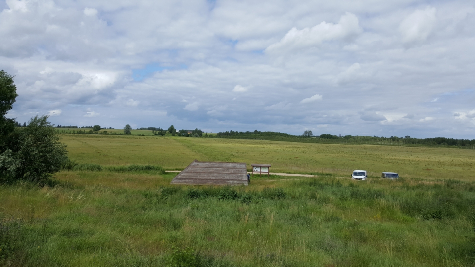
Despite the protected status of many freshwater wetlands, many of these ecosystems are under threat of (further) degradation due to climate change and anthropogenic activities. As processes in wetland ecosystems are highly dynamic and complex and wetlands are often difficult to access, hampering their large-scale monitoring in the near real time, still major knowledge gaps exits.
The main research objectives are:
- Overcome limitations of water and energy balance modeling and reduce uncertainty by integration into a single multi-model approach;
- Obtain consistent ET estimates across scales (multi-scale);
- Enable consistent thermal/ET monitoring at high spatial and temporal resolution;
- Gain understanding on relation ET and vegetation/ecosystem functioning in temperate wetlands;
- Combine field and RS based approaches to provide wetland ecosystem health indicators.
Project outcome
Scientific results
The primary output is a multi-model, multi-scale framework, integrating both hydrological water balance and land surface energy balance modelling of evapotranspiration rates (ET).
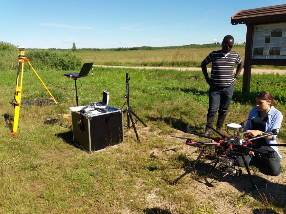
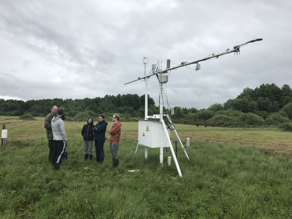
Validation of water and surface energy fluxes has been carried out against in-situ measurements at the Upper Biebrza wetland site in Poland.
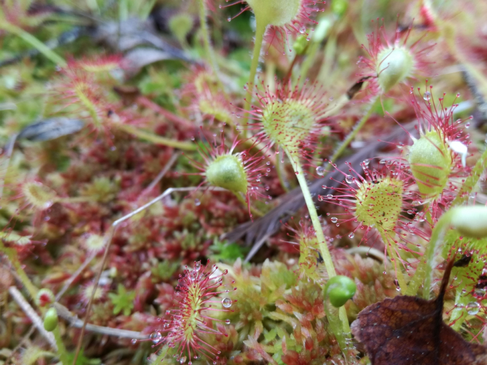
A better understanding on the evaporative behaviour of different wetland vegetation types has been achieved.
This results in a set of relevant maps for wetland monitoring:
- High-resolution classification map of wetland vegetation (2016) in the Upper Biebrza, Poland (based on APEX imagery).
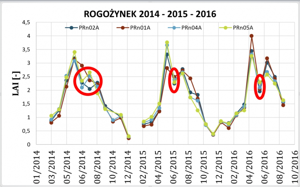
- Medium-resolution timeseries of Leaf area Index (LAI) 2015-2016 for Biebrza, Poland (based on Proba-V imagery).
- Anomaly maps (6) for each of the wetland vegetation types in the Upper Biebrza, Poland: indicating potential degradation (detection deviating conditions) of the different wetland types.
- Consistent medium-resolution daily timeseries of evapotranspiration (ET) 2015-2016 for the Upper Biebrza, Poland (based on assimilation of SEB ET estimates into the hydrological WetSpa model).
Societal (including environmental) relevance
Due to the importance of wetlands, with respect to ecosystem services (flood mitigation, crucial habitat for specific fauna and flora resulting in a high biodiversity, etc.), the increased understanding of the complex interaction between soil, vegetation and atmosphere in freshwater wetland ecosystems and the produced maps and tools can help to monitor wetland functioning and develop adequate conservation and management strategies to tackle potential anthropogenic and climate threats.
Products and services
Tool for Raster Exploration (TREX): automatically process Proba-V satellite imagery into medium-resolution timeseries of Leaf Area Index (LAI). The TREX tool is freely available via Github: https://github.com/VUB-HYDR/TREX.
Potential users
Wetland and hydrological managers and Researchers (ecologists, hydrologists, modelers, etc.).
Outreach
HIWET: Using satellite images for wetland vegetation monitoring
HIWET : Des images satellitaires pour suivre la végétation des zones humides
HIWET: satellietbeelden gebruiken voor het opvolgen van wetlandvegetatie

| Project leader(s): | VUB - Department of Hydrology and Hydraulic Engineering (HYDR) | |||||||
| Belgian partner(s) |
|
|||||||
| International partner(s) |
|
|||||||
| Location: |
Continent:
Country:
Region:
|
|||||||
| Related presentations: | ||||||||
| Website: | http://www.hydr.vub.ac.be/projecthiwet/ | |||||||