Published on 3 December 2020
The most precious ecosystems
Wetlands are crucial ecosystems for life on Earth and therefore for mankind. Directly or indirectly, they provide almost all the fresh water consumed in the world and are the pantry of more than a billion people. They are home to over 40% of the world's plant and animal species, including many endangered species. In addition to this biological richness, wetlands provide many other valuable ecosystem services. The economic value of these services far exceeds that of terrestrial ecosystems.
Wetland Ecosystem Services (www.ramsar.org)
Despite their importance, these ecosystems are extremely threatened by human activities. The 2018 report of the Ramsar Convention on Wetlands even established that they are disappearing three times faster than forests.

Comparison of an APEX image (spatial resolution of 2 m) of a part of the Biebrza Park acquired on 14 July 2015 in true colours (b) in false colours (d) and the map obtained with the TREX tool representing the average LAI for July 2015 generated from PROBA-V images at 100m resolution and a reference map at 30m resolution (c). Top right, zoom on an area of 1 × 1 km with a 30 m grid (a).
Our researchers at the bedside of peatlands in Poland
Monitoring these vulnerable ecosystems is therefore fundamental in order to be able to take the necessary measures for their conservation. The STEREO project HiWET (High-resolution modelling and monitoring of water and energy transfers in wetland ecosystems) therefore set itself the objective of developing tools for the effective monitoring of freshwater wetland ecosystems and the assessment of ecosystem health, based on remote sensing data.
One of the study areas for the project is the Biebrza National Park, located in the northeastern part of Poland. It is one of the most valued wetlands in Europe and serves as a benchmark for a relatively undisturbed reference ecosystem. Mowing and cutting are considered as suitable management tool for preserving peatlands since they are unselective in their removal technique, and as such actively manage threats of tree encroachment. Despite a close follow-up from the Biebrza National Park management authorities, land possession at the Biebrza National Park is complex with approximately 40 percent of the land privately owned by farmers. This has created conflicts with local stakeholders related to agricultural management and wetland conservation.
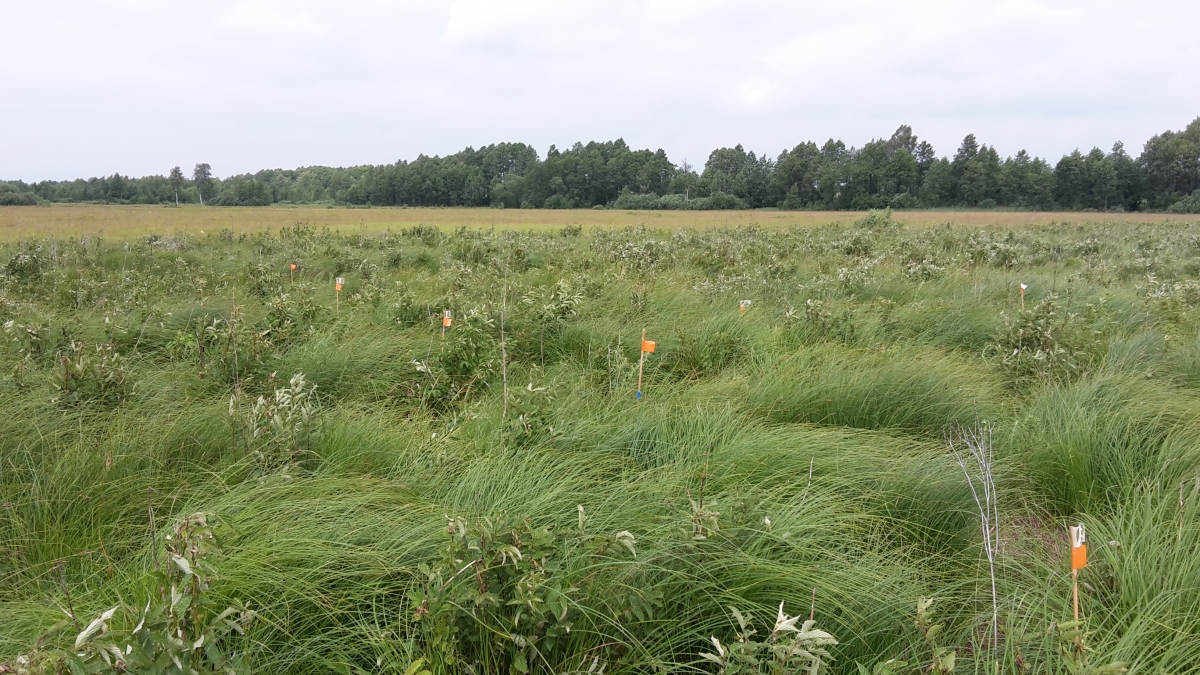
Wetland vegetation in the Biebrza Park in Poland
Therefore, objective information is needed to determine and monitor the status of the wetland and to track the rate of tree encroachment and compliance with management practices.
An indicator provided by satellites
Remote sensing helps in determining important vegetation biophysical parameters such as the Leaf Area Index (LAI) and aboveground biomass. LAI is defined as the total one-sided area of leaves covering a unit ground surface area and is strongly correlated with the biomass. As such LAI can be used as an indicator to monitor the status of wetland vegetation. But there is a need of information on the temporal dynamics of the vegetation (via the LAI) and this at a sufficiently high resolution.
The HiWET project has developed a tool that facilitates the semi-automated processing and production of Leaf Area Index (LAI) maps based on PROBA-V imagery. The LAI estimates obtained by remote sensing were validated by field measurements for a series of wetland vegetation plots using a handheld scanner.
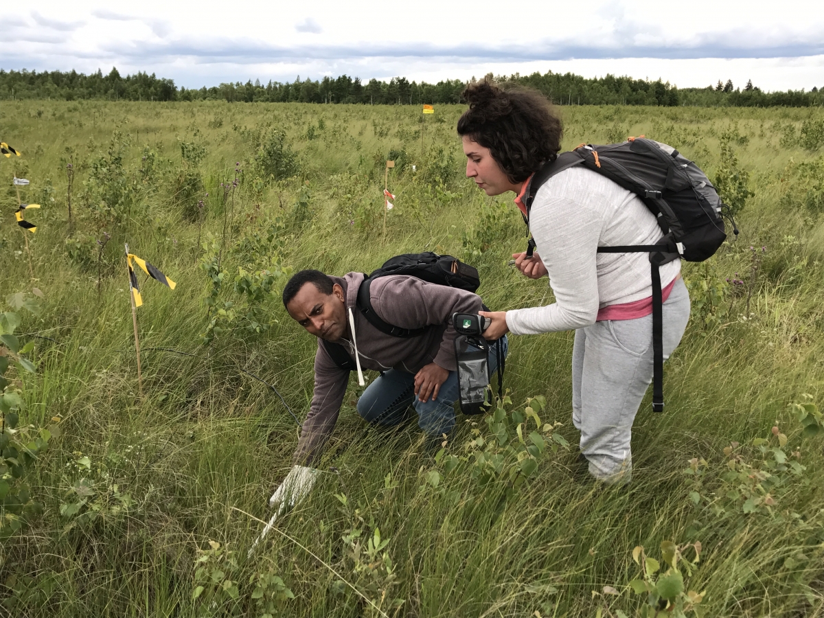
Validation of Leaf Area Index estimates using the SS1 SunScan instrument
This tool, called Open Source Tool for Raster Exploration (TREX), meets one of the important objectives of the project: to develop thematic maps (e.g. LAI) with a high spatial and temporal distribution of various parameters and to provide useful information on the state of ecosystem functioning for decision-makers, farmers and scientists.
The TREX tool is made available free of charge to all via the Github platform. Visit the STEREO toolbox page to discover all the available tools developed by our STEREO researchers.