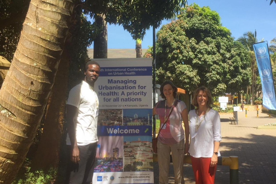
Context and objectives
![]()
![]()
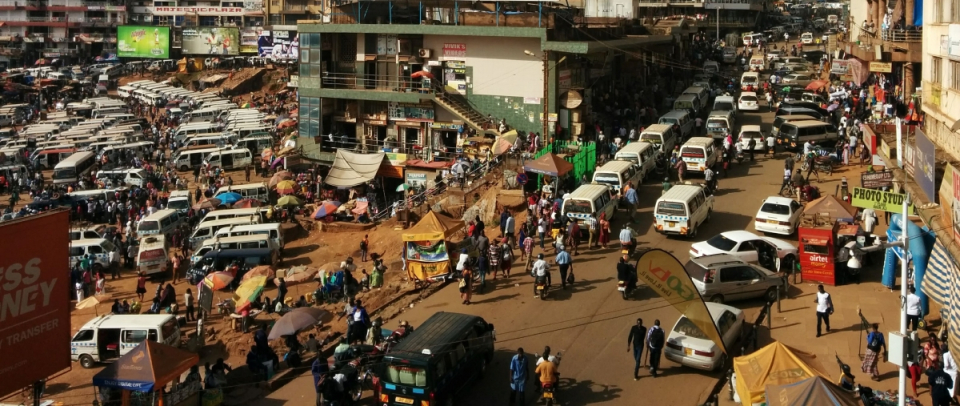
In sub-Saharan Africa (SSA), natural increase in the population, rural-urban migration and internal displacement account for unprecedented rates of urbanisation, with much of the growth taking place in large cities. This rapid rate of urban growth and the associated demographic, environmental and socioeconomic changes modify the epidemiology of vector-borne diseases, and more specifically of malaria. Malaria in Africa has long been regarded as a rural disease, with the process of urbanization reducing suitable breeding site environments for the dominant vector species, i.e. mosquitoes of the genus Anopheles. However, the risk of malaria infection does persist within densely populated urban settings, with focal transmission notably associated with proximity to urban water bodies, urban agriculture and peri-urban areas likely to support vector breeding. This heterogeneity of intra-urban risk is not captured in continental malaria risk mapping initiatives and nor is it considered as part of current national control strategies that focus on protecting less densely populated rural communities. The general scientific objective that is addressed by REACT is to improve our understanding of urban health inequalities in epidemiological data-poor countries, using remote sensing and spatial modelling. REACT has two main goals, one substantive and one methodological:
- Establish the demographic, socioeconomic, climatic and environmental conditions associated with the spatial variation of the incidence of malaria prevalence within and between fast growing urban centers in Sub-Saharan Africa.
- Harness remote sensing capabilities to achieve (1) using a multi-sensor and multi-scale approach
Project outcome
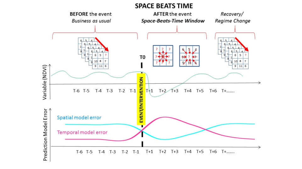
Scientific results
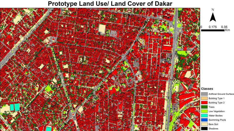
- Automated and accurate methods for land use/land cover classification using VHR imagery
- Demonstrating the potential of RS to characterize socio-economic conditions
- Urban Climate Models at unprecedented resolutions in African cities
- Identification of geographical factors and drivers that control intra and inter-urban malaria prevalence
Products and services
All the methods were developed with a particular focus on automation and transferability. The mapping frameworks and other computer code developed as well as the final maps are made available through different public repositories, at no cost, for anybody and for any purpose:
- Data sets and code repositories: Data availability - REACT (ulb.be)
Potential users
- Researchers and policy makers based in the government ministries and associated organizations of all of the low-income countries to support development, health and planning purposes.
- International organizations and agencies, such as the International Red Cross, World Bank, UN-FAO, UNDP, MSF, Clinton Health Access Initiative, DFID, MapAction, Slum Dwellers International.
- Researchers in public health, population health and urban planning.
Outreach
REACT improves malaria risk prediction
La prévision du risque de paludisme améliorée grâce à REACT
REACT verbetert de voorspelling van het malariarisico
REACT: Fighting infectious diseases with the help of Earth Observation
REACT: Combattre les maladies infectieuses grâce à l'Observation de la Terre
REACT: Infectieziekten bestrijden met behulp van aardobservatie
| Project leader(s): | ULB - IGEAT - ANAGEO (Analyse Géospatiale) | |||
| Belgian partner(s) |
|
|||
| Location: |
Continent:
Region:
|
|||
| Related presentations: | ||||
| Related publications: | ||||
| Website: | http://react.ulb.be/ | |||