Publié le 12 octobre 2020
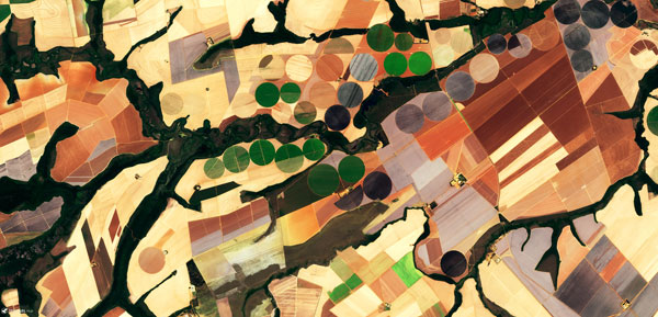
Four years ago, the Slovenian Company Sinergise Ltd triumphed at the 2016 Copernicus Masters Competition with its ground-breaking satellite image web service — the Sentinel Hub. This service revolutionises access to Earth observation satellite imagery, reducing from hours to mere seconds the time required to visualise and exploit data.
On the Sentinel Hub, satellite data like those of the European Union's Copernicus Programme, (as well as Landsat and other providers) are made easily accessible for users to browse or analyse, within their cloud GIS or within their own environment.

Users obtain satellite imagery without worrying about synchronisation issues, storage, processing, de-compression algorithms, meta-data or sensor bands.
The service uses cloud infrastructure and innovative methods to efficiently process and distribute data in a matter of seconds. It can be integrated into any mapping application for the web, allowing for easy-to-use and cost-effective ways to exploit data.