Publié le 16 juillet 2018
New research review provides insights into the continent’s response to climate warming
Scientists from the University of Maryland, the University of Leeds and the University of California, San Diego, have reviewed decades of satellite measurements to reveal how and why Antarctica’s glaciers, ice shelves and sea ice are changing.
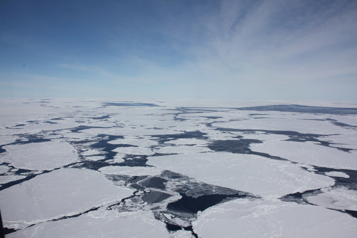
Southern Ocean Icebergs
Source: University of Maryland<
Their report, published in a special Antarctica-focused issue of the journal Nature on June 14, 2018, explains how ice shelf thinning and collapse have triggered an increase in the continent’s contribution to sea level rise. The researchers also found that, although the total area of sea ice surrounding Antarctica has shown little overall change since the advent of satellite observations, mid-20th century ship-based observations suggest a longer-term decline.
“Antarctica is way too big to survey from the ground, and we can only truly understand the trends in its ice cover by looking at the continent from space,” said Andrew Shepherd, a professor of Earth observation at the University of Leeds’ School of Earth and Environment and the lead author of the review.
In West Antarctica, ice shelves are being eaten away by warm ocean water, and those in the Amundsen and Bellingshausen seas have thinned by as much as 18 percent since the early 1990s. At the Antarctic Peninsula, where air temperatures have risen sharply, ice shelves have collapsed as their surfaces have melted. Altogether, 34,000 square kilometers (more than 13,000 square miles) of ice shelf area has been lost since the 1950s.