Publié le 22 décembre 2023
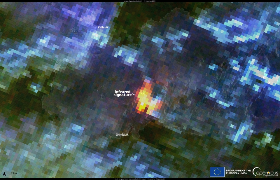
After several weeks of precursor signals, a volcanic eruption on the Reykjanes peninsula in Iceland began on the night of 18-19 November. The eruption occurred about 5km from Grindavik, a town whose inhabitants had been evacuated earlier in the year in preparation for this event.

This image acquired by the SLSTR sensor onboard one of the Copernicus Sentinel-3 satellites on 19 December at 12:44 UTC shows the hotspot caused by the volcano a few kilometres from Grindavik.
The Sea and Land Surface Temperature Radiometer (SLSTR) instrument carried by the Copernicus Sentinel-3 satellites, enables accurate global land surface temperature monitoring.
Check out this and tons of other Sentinel images
over on the Copernicus Image of the Day website