Publié le 20 février 2025
A new dataset has been released for the SARSimHT-NG campaign, which took place in Austria and Italy in 2021 and 2022 to test geosynchronous SAR applications and to further develop our understanding of SAR data acquired in Low Earth Orbit (LEO).
ESA conducts airborne and ground-based campaigns to support the development of new instruments, and calibration and validation of existing instruments. These campaigns simulate satellite-based measurements and are conducted all over the world in support of a wide range of applications.
The goal of the Simulation of Hydroterra SAR system performance in the Mediterranean and Alps based on experimental airborne SAR data (SARSimHT-NG) campaign was to evaluate whether future geosynchronous SAR satellites could obtain Snow Water Equivalent (SWE) and Surface Soil Moisture (SSM) measurements. The aim was to test the concept for a future C-Band SAR on a geosynchronous satellite.
The campaign was conducted using C- and L-Band SAR measurements, to also simulate results from Sentinel-1 and the upcoming Sentinel-1 Next Generation and ROSE-L missions.
SARSimHT-NG follows on from the SARSimHT campaign, which took place in 2019 to evaluate the concept of the then candidate Earth Explorer Hydroterra. Though Hydroterra was not selected to become the 10th Earth Explorer, the two campaigns provided valuable measurements to test the concept of future GeoSAR satellites such as the Earth Explorer 12 Hydroterra+ candidate.
The campaign consisted of two studies conducted over different test sites, using the F-SAR instrument carried aboard a DLR DO 228-212 aircraft:
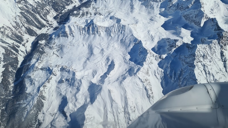
- 21HTERRA took place at Wörgetal in Austria from 2 to 19 March 2021, to gather SWE acquisitions over the Alps during winter
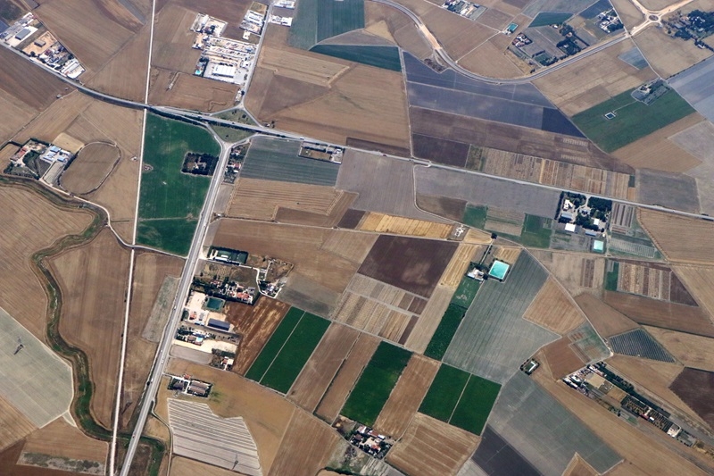
- 22HTERRA took place at Apulian Tavoliere in Italy from 28 to 29 April and 15 to 16 June 2022, to gather SSM acquisitions during spring over an agricultural site
21HTERRA demonstrated that a GeoSAR satellite would be useful for continuous monitoring of changes in SWE if the snowpack is dry. However, there may be limits with the capability of a GeoSAR instrument over complex terrain due to the oblique view such a system would acquire.
22HTERRA demonstrated that C-Band measurements were more sensitive than L-Band measurements in detecting changes to water content of wheat. However, C-Band sensitivity decreased as the instrument’s angle of incidence increased. L-Band measurements were less affected by the incidence angle, and would be pivotal in complementing C-Band acquisitions. The study concluded that effective SSM monitoring would require a multi-frequency and multi-satellite mission.
SARSimHT-NG acquired useful data to evaluate the concept of a GeoSAR satellite. Further studies are required to test how a geosynchronous SAR instrument would perform over different terrain and in different weather conditions
The campaign produced a series of Single Look Complex products:
- Airborne F-SAR acquisitions
- Processed high-resolution Geo products, which simulate potential products from a geosynchronous SAR instrument
- Processed low-resolution Hydroterra products, which simulate potential products from the Hydroterra mission concept
The dataset is openly available to download following submission of a data access request.
Learn more about the SARSimHT-NG campaign
and how to request data
Source:
European Space Agency. (2025, February 18). New radar campaign measures snow water and soil moisture. Earth Online.