Publié le 2 juin 2017
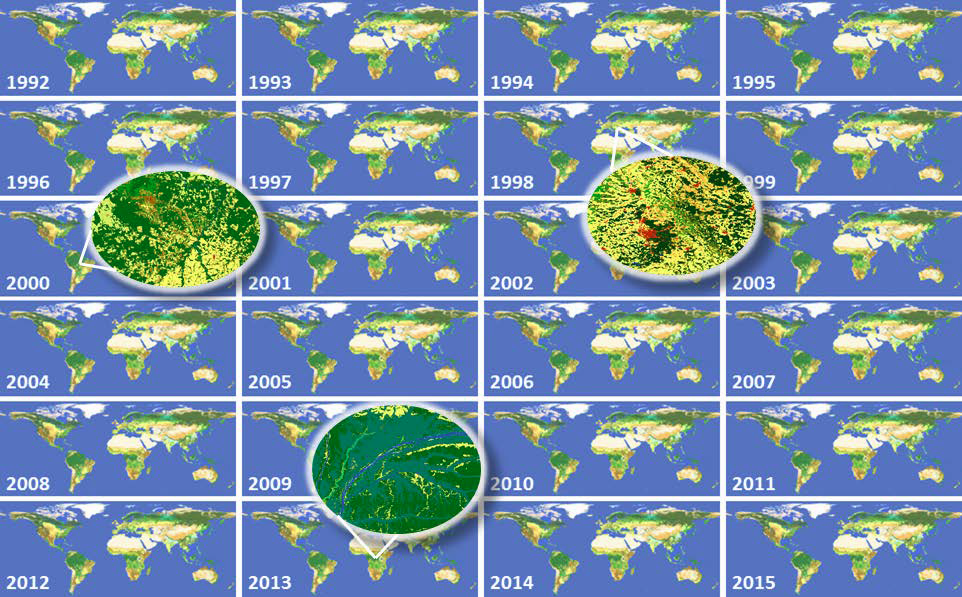
In the framework of the Climate Change Initiative (CCI) of the European Space Agency, the CCI Land Cover partnership is pleased to announce the official release of the CCI 300 m annual global land cover time series from 1992 to 2015. This unique dataset was produced thanks to the reprocessing and the interpretation of 5 different satellite missions. The attached newsletter introduces the 24 global land cover maps and a set of additional products associated to them. All these products can be visualized interactively (click right to get the surface seasonality for any pixel on Earth) and downloaded using the CCI Land Cover viewer.
On top of that, there's also a new version of the User Tool (v3.12) available for download.