Publié le 17 août 2022
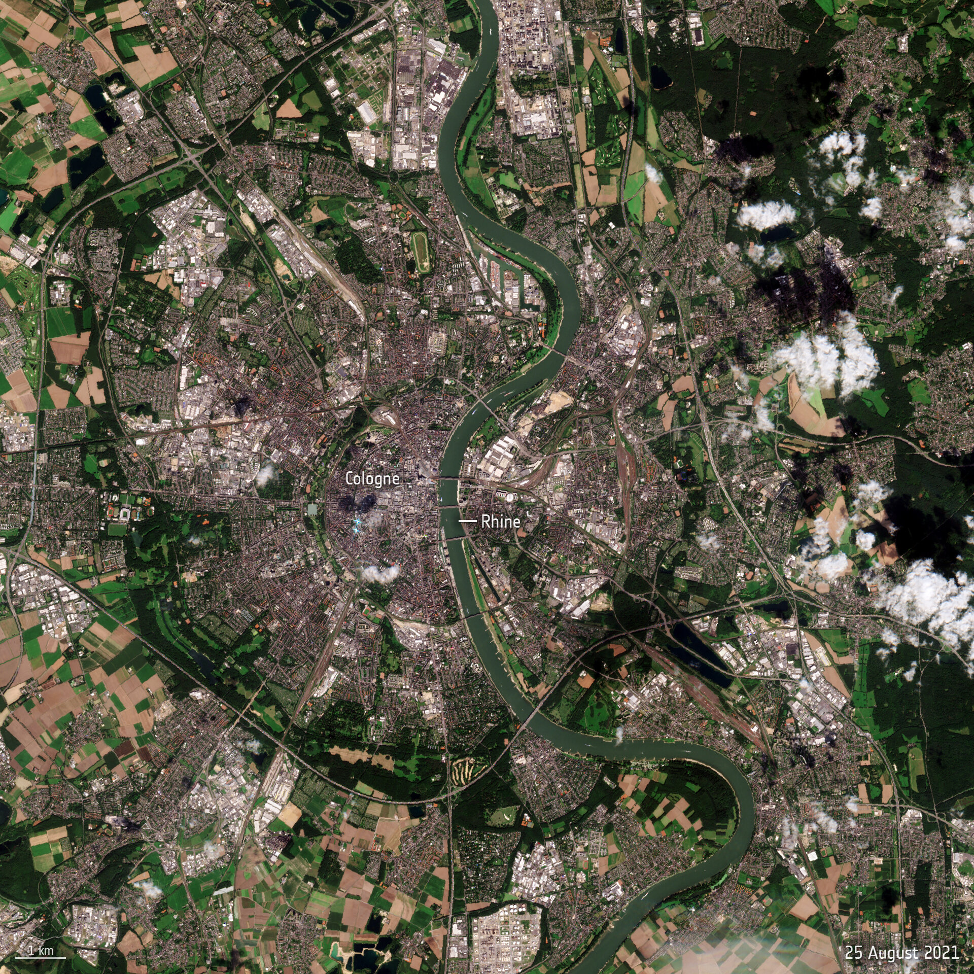
Water levels on the Rhine River, Europe’s second-largest river, have continued to drop owing to soaring temperatures and lack of rainfall, preventing many vessels from navigating through the waters at full capacity. The Copernicus Sentinel-2 mission captured part of the Rhine River near Cologne – showing the stark difference between August 2021 and August 2022.
Flowing from the Swiss Alps to the North Sea, the Rhine River is an important shipping route for many products from grains to chemicals to coal. When water levels drop, cargo vessels need to sail with reduced load, so they don’t run aground.

hover your mouse over the image to compare between August 2021 and August 2022
Water levels at the chokepoint of Kaub, near Frankfurt, fell to 32 cm in depth on Monday, down from 42 cm last week. Ships, however, need around 1.5 m to be able to sail fully loaded making it difficult for larger ships to navigate through the waters. Freight ships continue to sail, but only with around 25% to 35% of the ship’s capacity.
Read the rest of the article
on ESA's Observing the Earth website