Publié le 10 juillet 2020
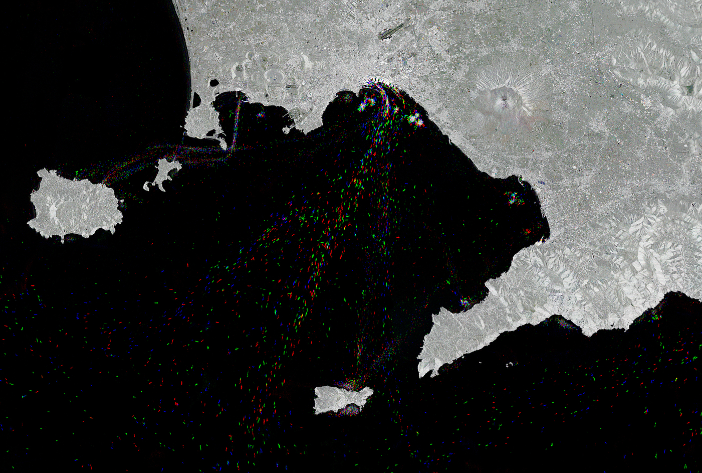
The Copernicus Sentinel-1 mission takes us over the busy maritime traffic in the Bay of Naples, in southern Italy.
The two identical Copernicus Sentinel-1 satellites carry radar instruments to provide an all-weather, day-and-night supply of imagery of Earth’s surface. Here, three years of Sentinel-1 data over the same area, equal to hundreds of images, have been compressed into a single image.
The sea surface reflects the radar signal away from the satellite, and makes water appear dark in the image. This contrasts with metal objects, in this case the ships in the bay, which appear as bright dots in the dark waters of the Tyrrhenian Sea. Boats crossing the bay in 2017 appear in blue, those from 2018 appear in green, and those from 2019 can be seen in red.
