Satellite characteristics
Launch Date - End 24 May 2006 - 1 October 2019
État Decommissioned
Orbit type Geostationary
Altitude 35790
Orbit inclination 0
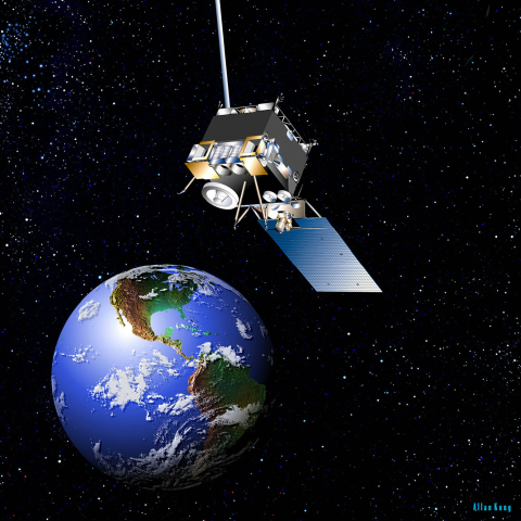
Satellite family: GOES (Geostationary Operational Environmental Satellite)
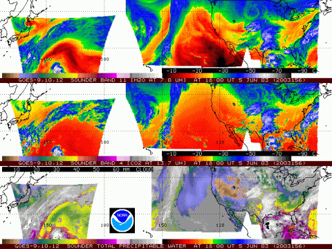
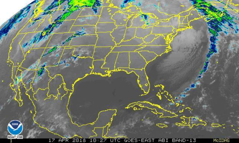
The GOES program is a key element in US National Weather Service (NWS) operations. GOES weather imagery and quantitative sounding data represent a continuous and reliable stream of environmental information used to support weather forecasting, severe storm tracking, and meteorological research.
NOAA policy calls for the operation of two meteorological satellites in geostationary orbit. Each of these spacecraft views almost a third of the Earth's surface: one monitors North and South America and most of the Atlantic Ocean, the other North America and the Pacific Ocean basin.
Sensor characteristics
| Sensor name | GOES Imager |
|---|---|
| Sensor short description | |
| Sensor type | Imaging radiometer (Vis/IR) |
| Resolution class | Very Low (> 1 km) |
| Sensor name | GOES Sounder |
|---|---|
| Sensor short description | |
| Sensor type | Atmospheric instrument |
| Resolution class | NA |


