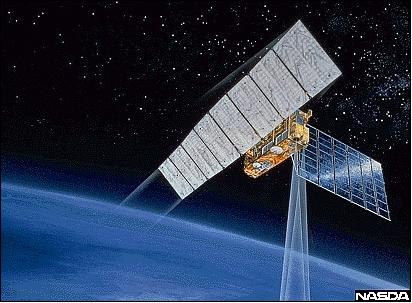
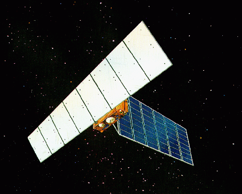


Satellite characteristics
Launch Date - End 10 February 1992 - 10 October 1998
État Decommissioned
Orbit type Sun-synchronous subrecurrent polar orbit
Altitude 568
Orbit inclination 97.7
Equatorial crossing time 10:30:00
Orbit period 96
Satellite family: JERS (Japan Earth Resources Satellite)
The overall objectives call for:
- Generation of global data sets with SAR and OPS sensors in order to survey resources;
- establishing an integrated Earth observation system, verifying instrument/system performances.
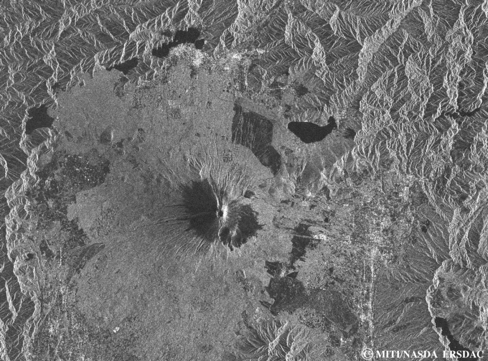
The mission applications focus on: survey of geological phenomena, land usage (agriculture, forestry), observation of coastal regions, geologic maps, environment, disaster monitoring, etc.
The spacecraft carries two closely matched Earth observation sensors: the active SAR instrument and the passive OPS multispectral imager.
Sensor characteristics
| Sensor name | OPS (Optical Sensor) |
|---|---|
| Sensor short description | |
| Sensor type | Imaging radiometer (Vis/IR) |
| Resolution class | High (5 - 30 m) |
| Swath width (at nadir) | 75 km |
| Max look angle | 15 ° |
| Sensor name | SAR (Synthetic Aperture Radar) JERS |
|---|---|
| Sensor short description | |
| Sensor type | Imaging microwave radar |
| Resolution class | High (5 - 30 m) |
| Swath width (at nadir) | 75 km |
| Max look angle | 35 ° |