Context and objectives
![]()
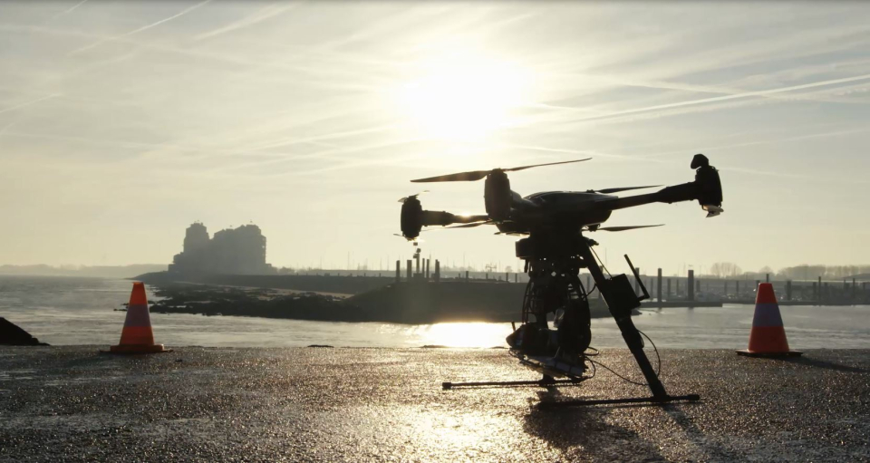
In DRONESED, near-real time images obtained using drone technology are combined with historical satellite images used for background information. Both are put together in a spatial data infrastructure (SDI) which eases the analysis of the study area for the end user.
While processing chains for satellite imagery to go from measured TOA radiance to TSM maps are developed in other projects, the focus in DRONESED lies on the processing of drone images up to georeferenced True Color and Sediment concentration maps, the modelling of sediment transport and the development of the SDI.
Project outcome
Results
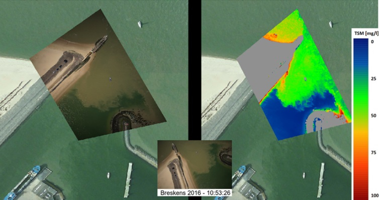
- The TSM algorithm was applied to all georeferenced drone images, resulting in drone based TSM maps. Pixel threshold were defined to mask-out non-water targets. Georeferenced visual images were used to better interpret the TSM maps.
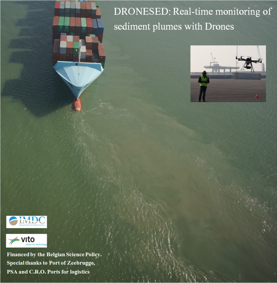
- The drones allow for monitoring sediment dynamics in high spatial and temporal interval for a limited area. Analysis over a larger temporal interval, like one tidal cycle can be made by extending the drone image acquisition. The spatial patterns are quite consistent over small and larger periods.
- TSM maps from a particular drone flight can be stitched together to map a larger area.
- Drone imagery are big data. An appropriate data handling and image processing chain was designed. Faster image sizing (PCA), georeferencing algorithms (image warping) and parallelization result in decrease of processing time.
Products and services
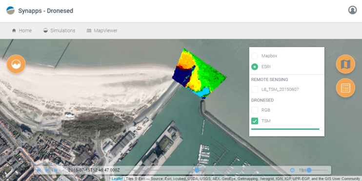
- A user-friendly spatial data infrastructure to visualize the drone images and products through a web-interface, containing information from different source (RS and in-situ, models) and providing basic analysing tools like displaying multi-temporal information in graphical representation.
- A fast interaction between dredging activities and decision making.
(Potential) users
Potential users include dredging companies, dredging environmental consultants, oil and gascompanies, dredging environmental consultants, oil and gas companies, harbour authorities, governmental organisations and environmental organisations which can make use of the drone/satellite based information products in the different phases of a dredging operation.
| Project leader(s): | IMDC (International Marine and Dredging Consultants) | |||
| Belgian partner(s) |
|
|||
| Location: |
Country:
Region:
|
|||
| Related presentations: | ||||
| Website: | https://blog.vito.be/remotesensing/drones-to-monitor-and-control-water-quality | |||