Context and objectives
Nowadays, food security and crop production variability become a major concern. Moreover, in spite of major technological and methodological EO improvements observed since the late 1990’s, very little change has been observed in the operational systems. It exist a major gap between the remote sensing operationally used and the current scientific state of the art in EO crop monitoring. There is a lack of relevant field data over large areas, and these data are very much needed to gain a better understanding of potential improvements of the operational systems.
The scientific objective of the GLOBAM project was to fill the methodological gap between the current state of the art of local crop monitoring and the operational global monitoring systems, e.g. JRC-MARS/AGRI4CAST, JRC-MARS/FOODSEC, FEWS, PECAD programs. The research strategy was to develop an integrated approach to combine satellite remote sensing with crop growth modelling by quantitative and physically-based methods in the framework of CGMS. Such an approach was found more generic, more portable and more robust with regards to exceptional growing conditions than empirical or statistical analysis. However, simplified modelling approaches (CASA model, decreasing curve model, AGROMETshell model) have been also adjusted to integrate satellite information and validated.
Project outcome
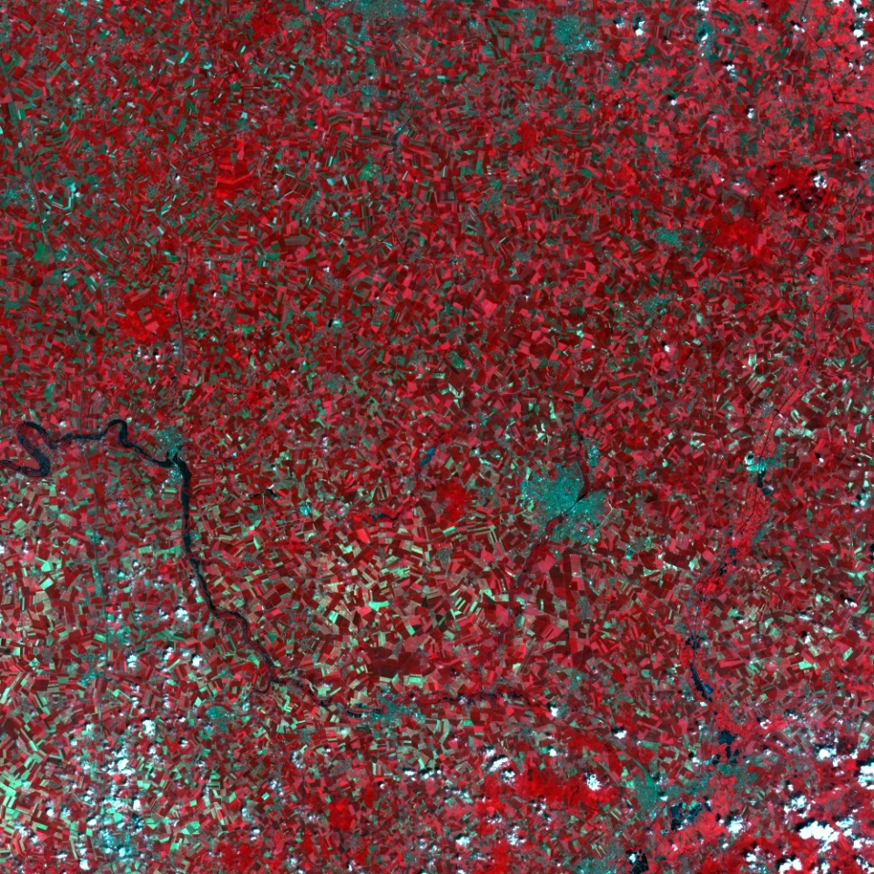
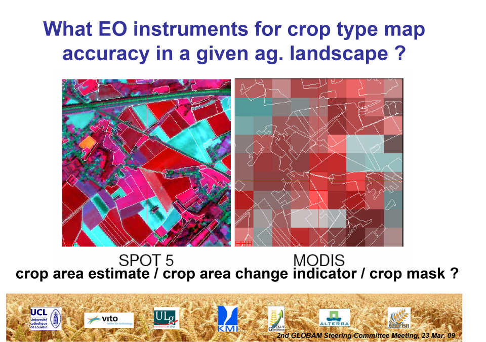
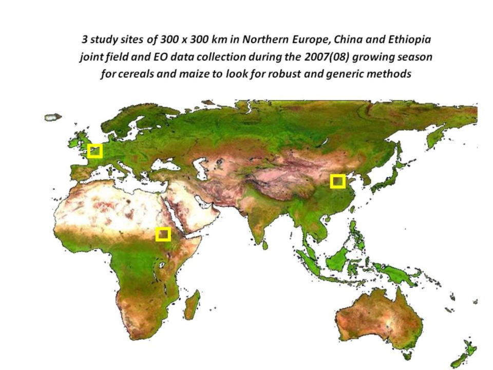
For the first time in the field, the GLOBAM results demonstrated the improvement of crop yield estimate thanks to the assimilation of retrieved LAI in crop growth model for a 10 years time series. Such an outcome opens the way for significant evolution in the field of crop growth monitoring. Similarly, the results obtained from the crop specific MSG evapotranspiration estimate pioneered the use of geostationary satellite in quantitative agriculture vegetation monitoring. Crop type maps obtained in three GLOBAM sites for crop specific monitoring also illustrated the constraints of the wide-swath instrument on the one hand and the needs of Very High Resolution dataset in Ethiopia. Very promising results using cross-polarized RADARSAT data also confirms the potential of SAR time series when they are acquired on regular basis. The different crop yield models tested in the GLOBAM framework illustrated the relative efficiency of more simple approaches in data poor context. The decreasing curve model results in particular highlighted the critical importance of the senescence phase of the vegetation cycle. Last but not least, the required evolution of the satellite instruments and of the retrieval methods were quantitatively documented by two conceptual studies respectively related to the spatial resolution requirement for the different agricultural landscapes and to the LAI accuracy and frequency needed to improve the yield estimate by assimilation in existing crop model.