Context and objectives

![]()
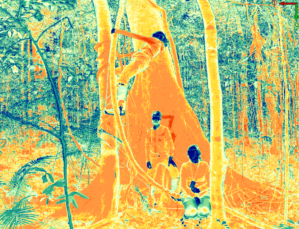
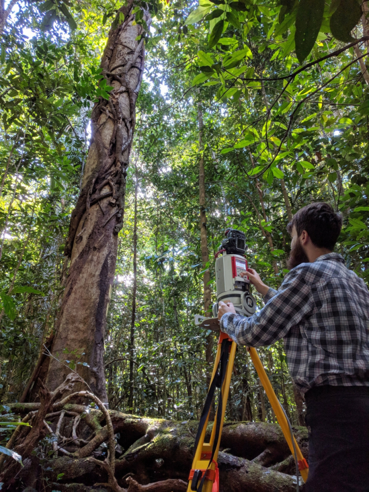
Deforestation and forest degradation account for 12% of global carbon emissions. This estimate is highly uncertain due to inadequate estimates of forest carbon density Terrestrial (TLS) and Unmanned Aerial Laser scanning (UAVLS) systems have to potential to reduce the uncertainty by capturing the environment in 3D with unprecedented detail. From these very detailed images, we can accurately calculate tree parameters such as height, diameter and volume. The project focusses on reducing uncertainties in estimates of above-ground biomass, related carbon and forest structure using novel in-situ 3D laser scanning techniques and modelling approaches. The main objectives of this research project are:
- To develop a novel framework to assess the quality of Terrestrial Laser Scanning (TLS) volume estimates and develop new allometric equations for estimating above-ground biomass (AGB) using unbiased calibration data from terrestrial LiDAR
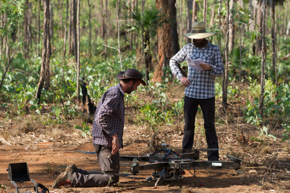
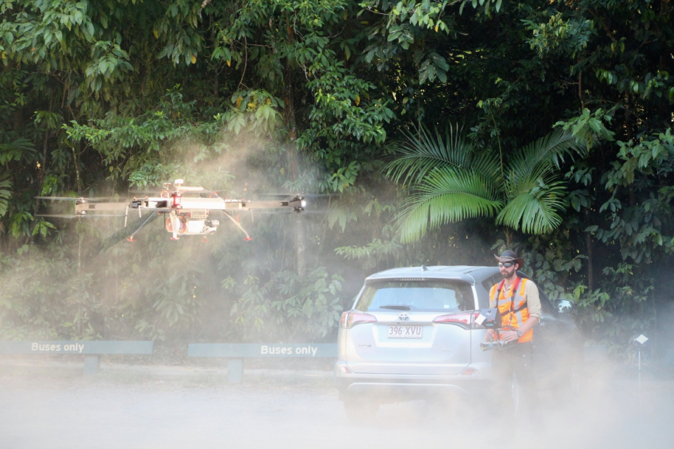
- To develop a new method to upscale AGB and forest structure from plot to landscape level using combined terrestrial and UAV LiDAR measurements
- To develop a proof-of-concept of improved forest growth modelling through the use of LiDAR derived AGB and forest structure
Project outcome
Scientific results
- We have developed TLS-based allometric models local (for Guyana), pan-tropical and temperate forests to estimate aboveground biomass. We show that our TLS-derived allometric provide more accurate AGB estimates than the existing pan-tropical and temperate models.
- We show that tree-level UAV LS point clouds cannot be used for estimating volume using the well-established treeQSM algorithm even in the open savannah ecosystems due to the poor data quality around the trunks. Instead, we provide an alternative method to estimate biomass at landscape level using allometric models based on UAVLS-derived tree structural attributes (Crown area and height-related attributes) using TLS-derived volume as calibration data.
- We show that integrating vegetation structure information derived from TLS can inform dynamic vegetation models on the most adequate model structure, constrain critical parameters, and prescribe representative initial conditions. TLS-derived allometric parameters increased simulated leaf area index and aboveground biomass by 57 and 75%, respectively compared to the default model parameters. The choice of model structure and allometric coefficient both significantly impacted the optimal set of parameters necessary to reproduce eddy covariance flux data.
Societal (including environmental) relevance
The techniques, methods, applications and knowledge developed in this project have provided insights into the assessment, upscaling and dynamics of biomass using novel laser scanning techniques. Moreover, more reliable biomass estimates made available through the unique 3D datasets and allometric models developed as part of the project will be essential for the validation and calibration of current (NASA GEDI) and upcoming satellite missions (ESA BIOMASS, NISAR).
Products and services
All the datasets collected as part of the project will be made available in an online repository in due time – data can already be requested via email.
Potential users
The datasets and the outcomes of the projects (new allometric models from lidar data) will be of great use to the vegetation modelling community (as shown in objective 3 of the project) and to the broader remote sensing community for the calibration and validation of future forest structure and biomass missions (TERN, BIOMASS, GEDI, NISAR to name a few).
Outreach
3D-FOREST: Understanding Tropical Forests with the help of LiDAR
3D-FOREST: Mieux connaître les forêts tropicales grâce au LiDAR