Background
High-resolution thermal Earth Observation (EO) has been identified as a major observational gap in our rapidly warming climate. Land-surface temperature is a key variable needed for understanding and adapting to climate variability, managing water resources sustainably for agricultural production, mitigating health stress during heatwaves, predicting droughts, monitoring coastal and inland waters and addressing natural hazards such as fires and volcanoes.
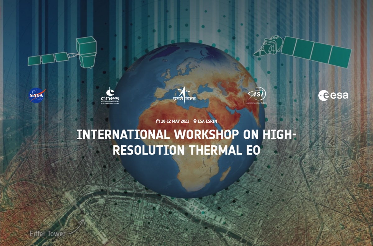
For actionable information, Land Surface Temperature has to be measured with both high-resolution, to monitor management units such as single fields, and at sufficient temporal frequency. These requirements have been recognized by policy makers and international space agencies resulting in the preparation of a range of high-resolution thermal missions including TRISHNA (CNES/ISRO), SBG-Thermal (NASA/ASI) and LSTM (ESA/EC) to be launched in coming years. The ECOSTRESS mission (NASA) is providing excellent precursor data for these upcoming missions. Further there is an increasing interest of New Space initiatives preparing for smallsat missions and constellations for thermal observations with similar resolution.
Building on the ongoing cooperation between the space agencies, the main objective of this Workshop is to prepare for the availability of high-resolution thermal observations, strengthen synergies among the upcoming missions and to establish priority areas for future projects (e.g., the ESA Sentinel User Preparation initiative).
Objectives
- Assess the status of current and planned international high-resolution thermal missions for terrestrial and coastal applications
- Review the main related activities and projects in the relevant science and operational application areas
- Prepare the community for the use of the upcoming high-resolution thermal missions
- Strengthen international cooperation and coordination in the space and ground segment operation, calibration and validation, products definition & harmonization, data access and data exploitation
- Identify high-priorities topics for future R&D activities supporting the preparation of thermal EO applications
Main Topics
- Algorithm development for atmospheric, anisotropic and topographic correction schemes/procedures
- Harmonisation of products and data formats as well as their possible standardization
- Science and applications in different domains with single and multi-mission approach:
- Agriculture – irrigation, evapotranspiration
- Ecosystem & water cycle
- Urban heat islands & impact of heatwaves
- Hot temperature events – vulcanology/fires
- Coastal and in-land waters
- Cryosphere
- Soil composition
- Harmonisation of pre-flight characterisation and in-flight cross-calibration of international missions
- Mission calibration and data validation plans, data quality assurance and uncertainty quantification
- International joint airborne and field campaigns for a range of surface types
- Coordination of data acquisition plans, including orbital phasing of international missions for improved revisit/coverage and establishment of longer time series
- Exploring synergies with other current and future space-based systems (e.g. US Landsat, Copernicus Sentinels, New Space)
- Coordination of research and training activities