Past
Organisation: Wageningen University and Research (WUR) and Eurisy, with the support of StartHub Wageningen
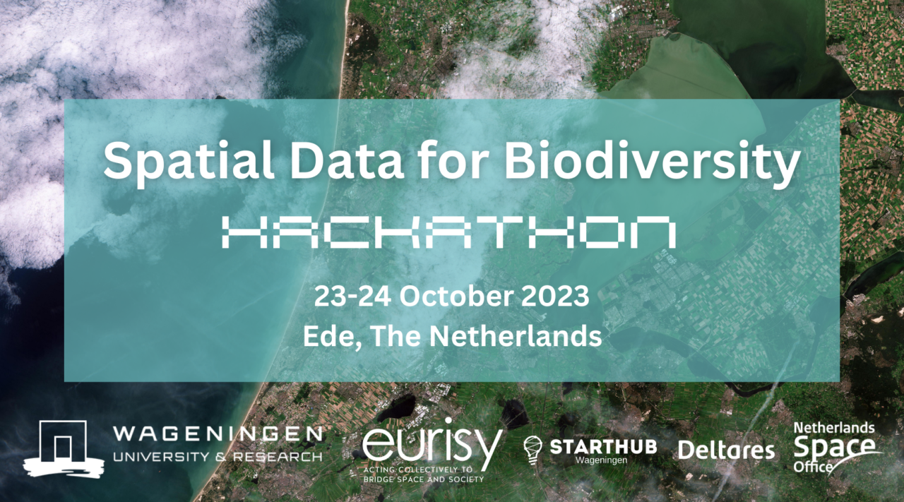
Wageningen University and Research (WUR) and Eurisy, with the support of StartHub Wageningen, organise this Hackathon on 23-24 October 2023 on the issue of “Spatial Data for Biodiversity”.
The hackathon will challenge teams to use provided spatial data related to biodiversity (stressors and habitats) to make biodiversity risk maps. Participants will work towards a mapping tool for understanding the cumulative risk to biodiversity in a given area, by solving spatial data gaps using AI, machine learning and any state-of-the-art spatial data science tools.
Participants will be supported by space, data, biodiversity and innovation experts to build their projects.
The ideas which best meet the needs of entities in charge of managing biodiversity in the Netherlands will be awarded prizes and support to further develop their concepts. On top of that the maps produced in this hackathon will be used by public managers to better preserve biodiversity in the Netherlands and beyond!