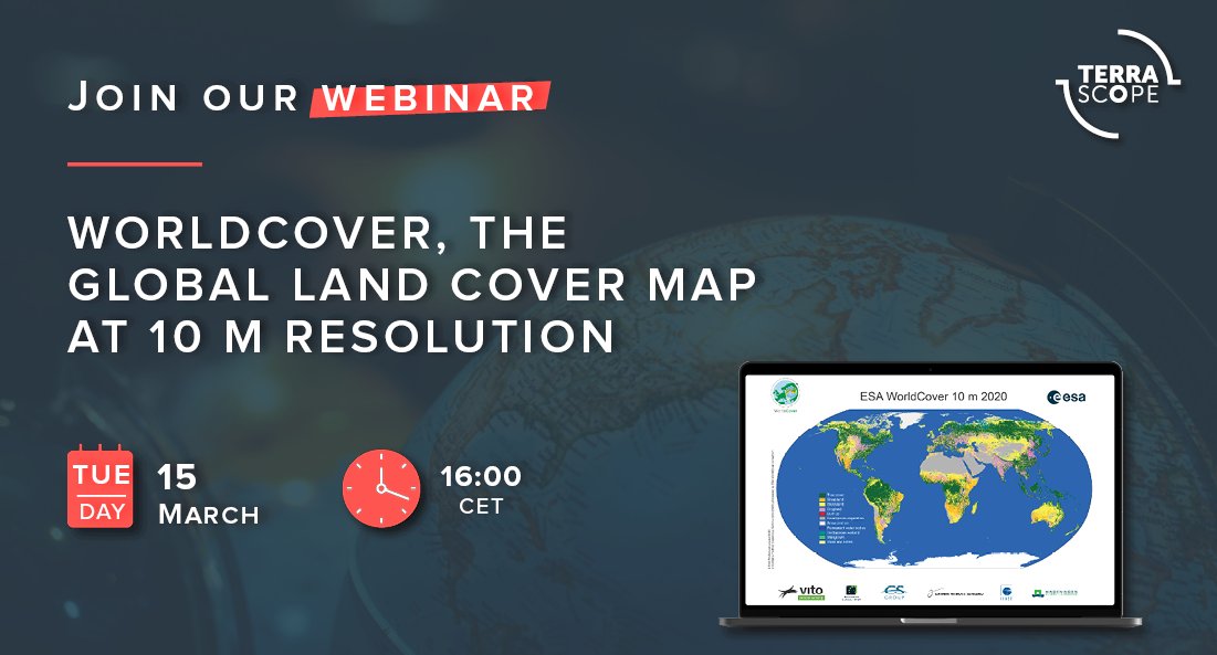
In October 2021, ESA’s WorldCover consortium released a new global land cover map at 10 m resolution, providing valuable information for many applications such as biodiversity, food security, carbon assessment and climate modelling.
Ruben Van De Kerchove, WorldCover project manager, will introduce you to this new benchmark land cover product based on both Sentinel-1 and Sentinel-2 data. Join this webinar to learn more about WorldCover and how this new global map can benefit your application.
- Introduction of the WorldCover project
- Methodology, data and validation
- The WorldCover 2020 map and online viewer
- How to access for free the WorldCover map
- User feedback & lessons learned
- WorldCover 2021