Gepubliceerd op 15 december 2021
Being such a dynamic and relatively invisible aspect of Earth’s environment, the wind is particularly challenging to measure from space. Nevertheless, the need for these measurements was identified many years ago by, for example, the World Meteorological Organization which is responsible for the World Integrated Global Observing System. This system, which comprises a vast number of meteorological and environmental observations taken from the ground, ships, upper atmosphere and space, is used by meteorological services all over the world.
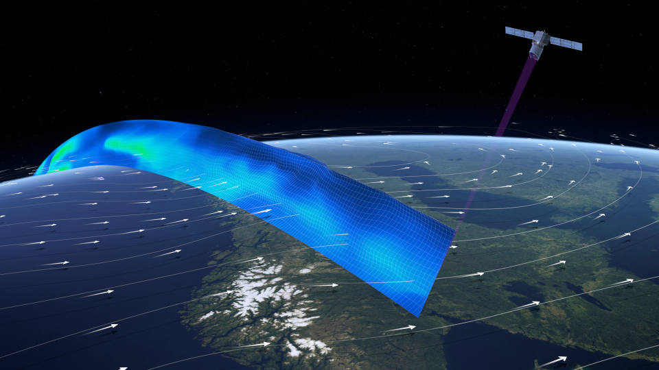
Profiling the world's winds
As part of ESA’s FutureEO programme, Aeolus is an Earth Explorer research mission. But it was also designed to demonstrate how sophisticated Doppler wind lidar technology can address the need for more wind measurements to improve weather forecasts.