Gepubliceerd op 23 januari 2021
For the first time, scientists have successfully used satellite cameras coupled with deep learning to count animals in complex geographical landscapes, taking conservationists an important step forward in monitoring populations of endangered species.
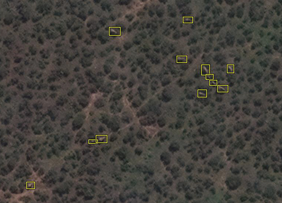
For this research, the satellite Worldview 3 used high-resolution imagery to capture African elephants moving through forests and grasslands. The automated system detected animals with the same accuracy as humans are able to achieve.
 — Example of elephant labels in a heterogenous area, Addo Elephant National Park, South Africa. Satellite image © 2020 Maxar Technologies
The algorithm that enabled the detection process was created by Dr Olga Isupova, a computer scientist at the University of Bath in the UK. The project was a collaboration with the UK's University of Oxford and the University of Twente in the Netherlands.