Gepubliceerd op 1 juni 2021
Monitoring glaciers globally is a challenge because of their sheer number, size, remoteness and rugged terrain they occupy. Various satellite instruments offer key data to monitor change, but one type of spaceborne sensor – the radar altimeter – has seen limited use over mountain glaciers.

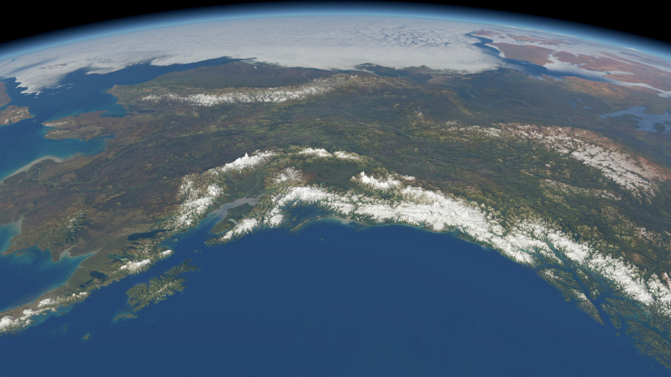
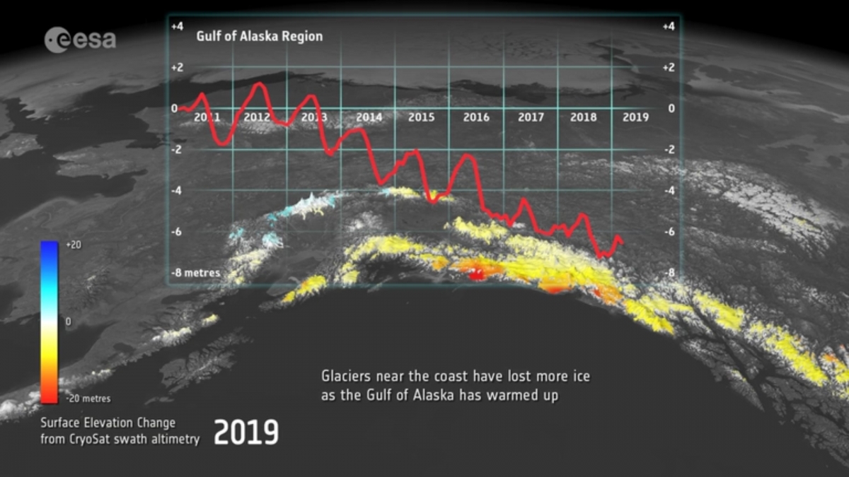
Gulf of Alaska
Traditionally, satellite radar altimeters are used to monitor changes in the height of the sea surface and changes in the height of the huge ice sheets that cover Antarctica and Greenland. They work by measuring the time it takes for a radar pulse transmitted from the satellite to reflect from Earth’s surface and return to the satellite. Knowing the exact position of the satellite in space, this measure of time is used to calculate the height of the surface below.

Click on the image to access the video
However, the footprint of this type of instrument is generally too coarse to monitor mountain glaciers. ESA’s CryoSat pushes the boundaries of radar altimetry and a particular way of processing its data – swath processing – make it possible to map glaciers in fine detail.