Gepubliceerd op 2 september 2021
Following an oil spill in a refinery along the coast of Syria on 24 August, the oil slick first travelled along the Syrian coast before heading towards open seas. Seven days after the start of the crisis, the oil is still floating undisturbed into the Mediterranean and, as this image shows, is now threatening the coast of Cyprus.
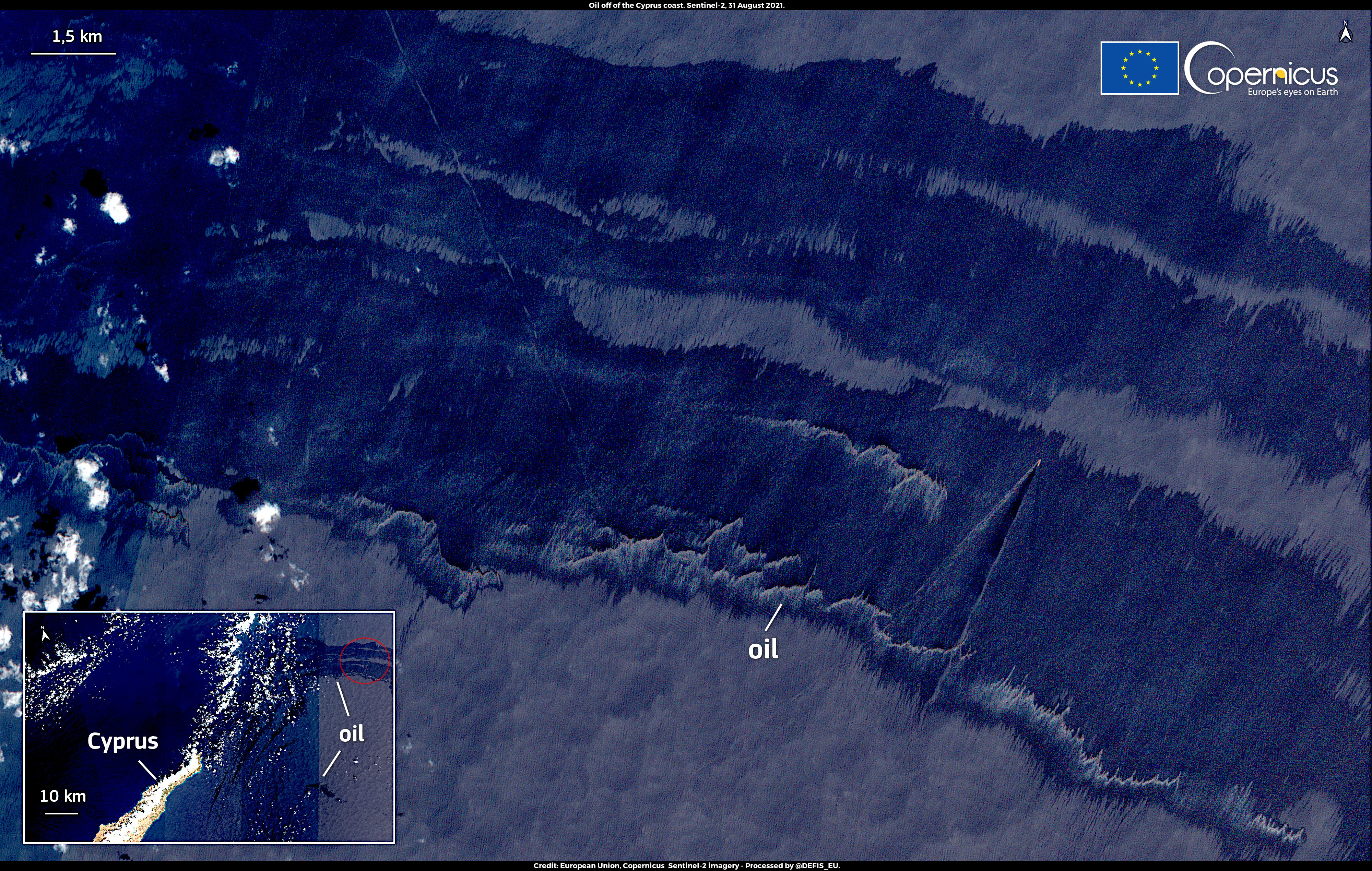 This image, acquired by one of the Copernicus Sentinel-2 satellites on 31 August at 8:40 UTC, shows a large amount of oil drifting less than 30 km off the northern coast of Cyprus.
Data from Copernicus satellite missions as well as models and forecasts (currents, temperature, salinity etc.) from the Copernicus Marine Environment Monitoring Service are used to predict oil dispersion in case of accidents such as the one that happened in Syria.
Check out this and many other images
over on the Copernicus Image of the Day website