Gepubliceerd op 5 april 2023
While volcanic studies over the past century have shown that volcanoes can be connected, without having a direct relationship between their magmatic reservoirs, the process is not fully understood.
In the case of Mauna Loa and Kīlauea - two volcanoes on Hawaii’s Big Island – studies indicate that active changes of one volcano trigger a dynamic response in the other.

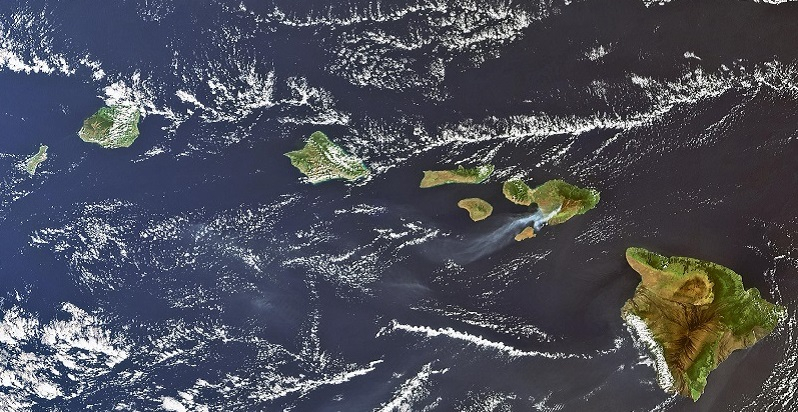
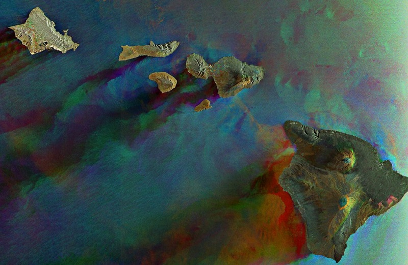
Hawaii as seen by Envisat
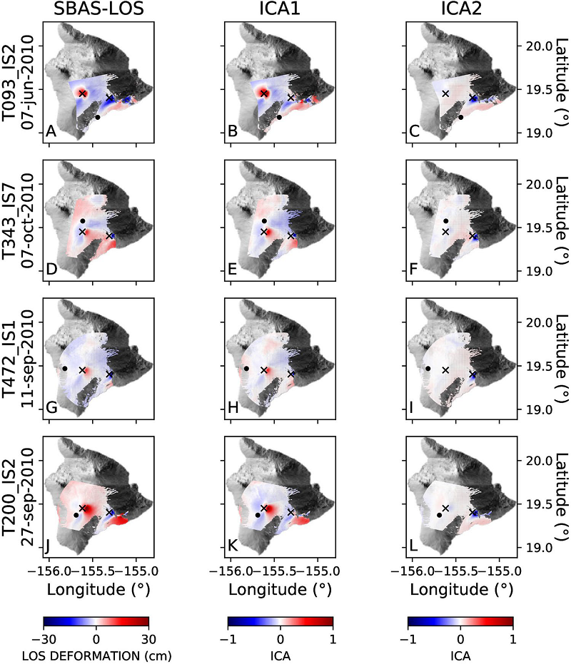
Research published recently in Nature’s Scientific Reports journal, shows how independent component analysis of Envisat data were used to effectively detect complex spatio-temporal ground deformation patterns for the two volcanoes, thus proving their elastic interaction.
The research was carried out by scientists at the Spanish volcanic studies institutes, Instituto Tecnológico y de Energías Renovables (ITER) and Instituto Volcanológico de Canarias (INVOLCAN), together with the Istituto per il Rilevamento Elettromagnetico dell’Ambiente (IREA-CNR), in Italy.

Envisat captures Mauna Loa and Kīlauea volcanoes in Hawaii
ESA’s Envisat mission – which was operational for 10 years after its launch in 2002 – hosted an Advanced Synthetic Aperture Radar (ASAR) instrument. Long-term data from ESA’s Heritage remote sensing missions, such as Envisat, are made accessible on a free basis through ESA’s Heritage Space programme. The research team processed 10 tracks of Envisat ASAR satellite images from 2003-2010, using an advanced DInSAR (Differential Synthetic Aperture Radar Interferometry) technique referred to as the Small Baseline Subset (SBAS) approach.
Satellite imagery can help map surface deformations by combining synthetic aperture radar (SAR) images of the same area before and after an event. The phase change between two overlapping radar acquisitions can create an interferogram.
Luca D’Auria, senior researcher at ITER, explains, “In satellite interferometry, what you see, first of all, is an interferogram. When you have a sharp ground deformation, such as in the case of an earthquake, then one interferogram is enough.
“However, with long-term deformations, such as in volcanoes, then SBAS is a more useful technique, as it allows you to overlap many interferograms to calculate the time series of the deformation for each point.”
SBAS has heavy computational requirements, as it deals with large amounts of data over many years. However, the SBAS approach benefits from its capability to generate deformation time series at full spatial resolution.

Anticorrelated behaviour of the ground deformation
Examining the DInSAR SBAS time series of the Envisat satellite tracks, the researchers confirmed an anticorrelated ground deformation pattern linking two sources beneath the summits of Mauna Loa and Kīlauea.
The SBAS technique provided a Line-Of-Sight time series for coherent pixels of the SAR images.
During the study period, the time series were computed for both volcanoes. However, the Mauna Loa time series shows an uplift from 2003 until late 2009, while conversely - and at the same time - Kīlauea exhibits, generally, subsidence.
In other words, the opposite response is seen in the ground deformation of one volcano with respect to the other, which is evidence of an elastic interaction between the two volcanoes.
The scientists demonstrated the anti-correlation between the two volcanoes quantitatively, by applying a mathematical algorithm known as Independent Component Analysis.
Deriving these results from the raw data was challenged by the greater complexity of Kīlauea, whose ground deformation pattern is also affected by a different independent source.
The team’s results have been recently published in this journal paper: “Elastic interaction between Mauna Loa and Kīlauea evidenced by independent component analysis”.
Mirko Albani, Heritage Space Programme Manager, says, “Heritage data provide a unique capability to look back in time and monitor long term trends and changes affecting our planet. The availability of long time series of heritage data continues to be a useful tool for scientists to derive results such as these.” Researchers and scientists can browse Envisat products and other Heritage collections online, as well as read guides on how to access data.
Source:
European Space Agency. (2023, April 4). Envisat data show how volcanoes communicate with each other. Earth Online.