Gepubliceerd op 15 december 2020
Just like your mobile phone, satellites themselves rely on satellite navigation to find their way in space. Thanks to a new ESA-developed receiver, the recently-launched Sentinel-6 is making use of Europe’s Galileo as well as the US GPS system, a fact set to sharpen the accuracy of its sea level rise measurements.
Copernicus Sentinel-6 Michael Freilich, launched on 21 November, is the world’s next radar altimetry reference mission, set to extend the legacy of sea-surface height measurements until at least 2030.
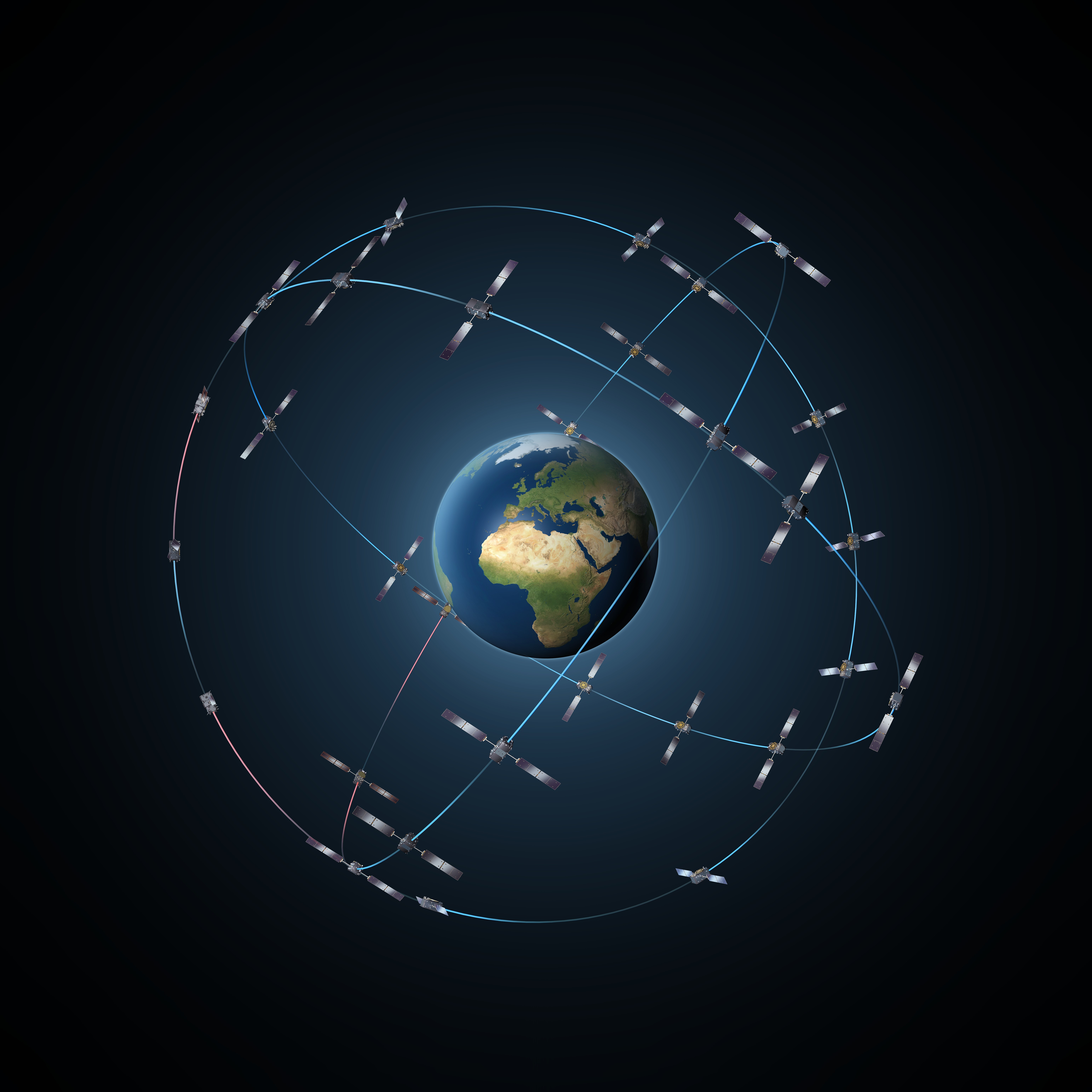 Galileo constellation
Developed by ESA with strong NASA support as part of Europe’s Copernics programme, the satellite is now being commissioned for operation by EUMETSAT, Europe’s weather and climate satellite organisation.
Sentinel-6 is also the first Sentinel satellite equipped with a dual-system satnav receiver, which can make use of both GPS and Galileo signals, to perform mission-critical Precise Orbit Determination (POD).
The ESA-developed receiver’s first results became available on 26-27 November and underwent initial analysis by the Navigation Support Office based at ESA’s ESOC control centre in Germany, immediately revealing a very good data quality.