Gepubliceerd op 8 oktober 2024
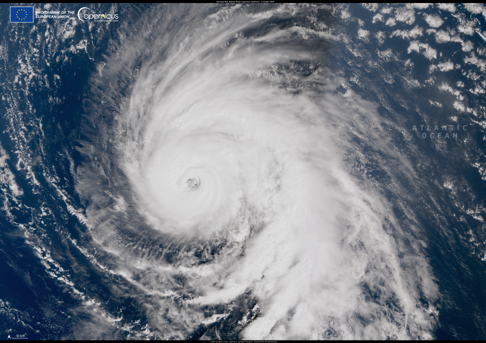
This Copernicus Sentinel-3 image from 3 October 2024 shows Hurricane Kirk when it was about 2,000 km southwest of the Azores Archipelago.
On the same day on which the image was acquired, Kirk swelled to a Category 4 storm in the central Atlantic Ocean as it made its way northeast, skirting the Caribbean islands and the eastern coast of the United States. Despite bypassing these areas, Kirk's size resulted in damaging winds affecting these regions.
The majority of Kirk’s impacts will be felt in western Europe, where authorities in France and Spain have issued warnings of heavy rainfall, cooler temperatures, and strong winds starting on 9 October. As the storm moves over colder waters near the European continent, its intensity is projected to weaken before landfall.
The Copernicus Sentinel satellites deliver open data and information which supports the monitoring of storms to help authorities and communities better prepare for the effects of extreme weather events.
Source:
Copernicus. (2024, October 7). Hurricane Kirk. Copernicus Image of the Day.
