Gepubliceerd op 3 mei 2022
Due to its location, the city of Dublin is particularly vulnerable to the effects of climate change, namely, the rise of the Mean Sea Level (MSL). According to a study recently published by the European Geosciences Union (EGU) Journal, the Mean Sea Level in the Dublin Bay is rising faster than the global rate. The analysis, which covers eight decades of data on MSL in the Dublin Port, has in fact shown that the trends in recent years are above what climate change models had previously predicted.
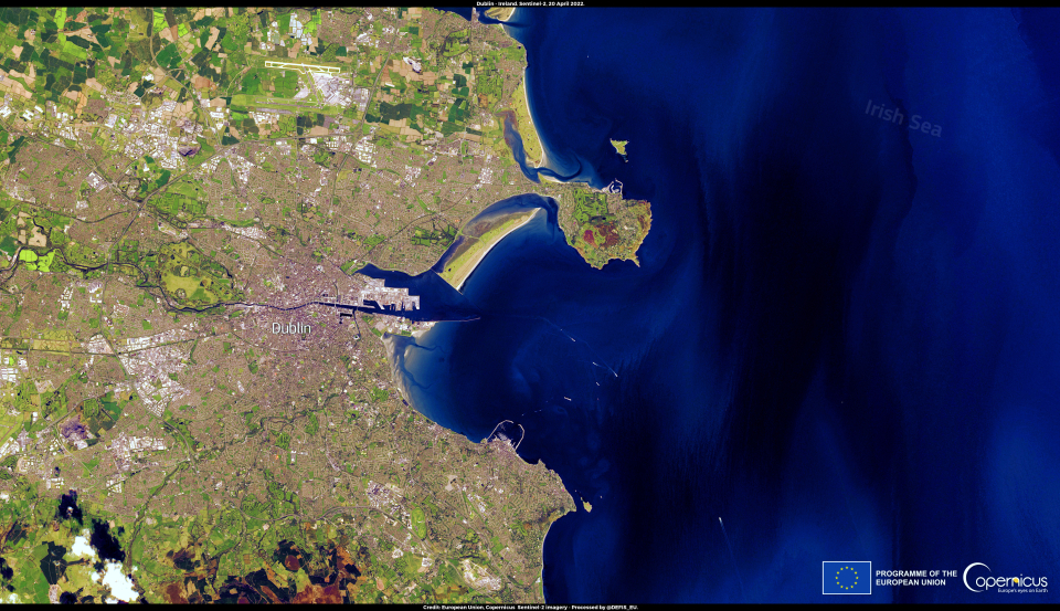
This image, acquired on 20 April 2022 by one of the Copernicus Sentinel-2 satellites, shows the city of Dublin and the eponym bay, at the mouth of the Liffey River on the Irish Sea Coast.
Click here to view the image at full resolution.
The Copernicus Climate Change Service (C3S) provides authoritative and accurate information about the past, present and future climate conditions, including specific Climate Indicators such as the Mean Sea Level, which can be found in the recently published European State of the Climate 2021.
This authoritative Copernicus data helps researchers understand regional and global sea level trends and supports the development of effective climate action plans.