Gepubliceerd 2 hours ago
Meteosat Third Generation is opening a new window into the atmosphere. By combining observations from its imager, lightning detector and infrared sounder, EUMETSAT can now show how clouds, moisture, temperature, winds and precipitation evolve together in three dimensions – and through time.
A new visualisation follows ten days of weather over Europe in August 2026, including severe thunderstorms that affected Italy and Poland. The result is a dynamic four-dimensional view of the atmosphere built from real satellite observations.
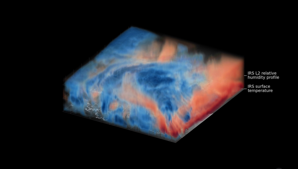
Meteosat Third Generation combines observations of clouds, lightning, temperature, humidity, wind and precipitation to reveal how weather systems develop throughout the atmosphere and evolve over time.
Image: EUMETSAT
A key addition is the Infrared Sounder aboard Meteosat-13, which became operational on 13 October. The instrument measures temperature and humidity at different heights over Europe every 30 minutes, complementing imagery and lightning observations from Meteosat-12.
Together, these measurements can reveal conditions favourable for severe storms even before the first clouds form. They can also improve very short-term forecasting and feed regional weather models, potentially sharpening forecasts up to around 24 hours ahead.
For forecasters, the result is a much more complete picture of the atmosphere based directly on observations – one that was previously only possible to approximate through numerical weather prediction models.
Based on: EUMETSAT, Watch as Meteosat Third Generation captures storms taking shape in four dimensions, 13 October 2026.