Gepubliceerd op 8 maart 2021
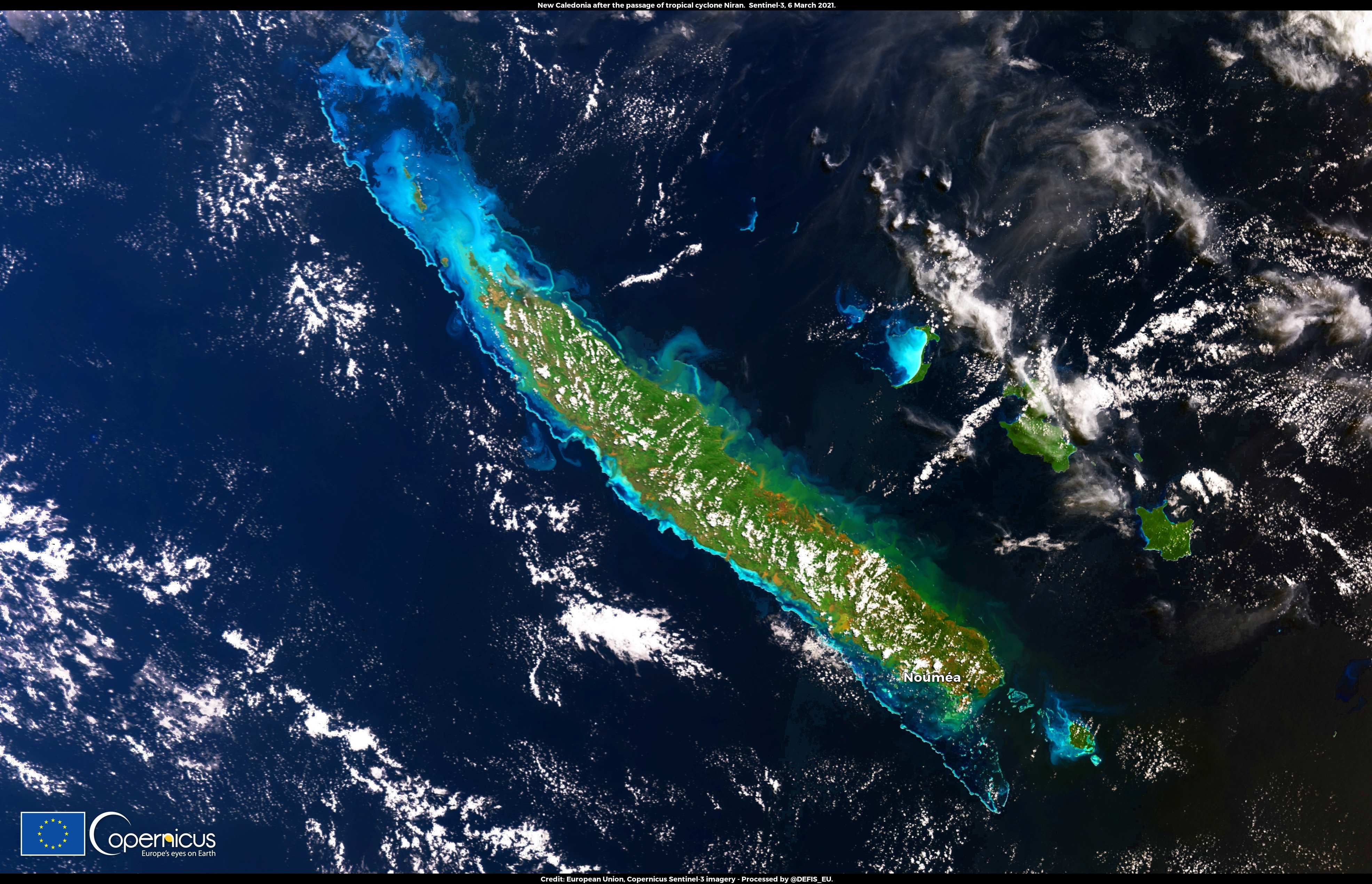
Tropical cyclone Niran, one of the strongest ever recorded in the western Pacific Ocean, affected New Caledonia between 5 and 6 March 2021.
According to Meteo France, winds reached 220 km/h. Nearly 20,000 people were left without electricity in Dumbéa, and several ships ran aground on the coast in Nouméa.
This image, acquired by one of the Copernicus Sentinel-3 satellites on 6 March 2020 at 22:27UTC, shows New Caledonia after the passage of Niran. In all coastal areas, it shows suspended matter from the increased discharge of rivers and violent storm surges caused by the passage of the cyclone.
The Copernicus Sentinel-3 mission comprises two twin satellites, Sentinel-3A and Sentinel-3B, which allow us to monitor water quality and sediment transport with coastal areas.
Check out this and many more Sentinel images
over on the Copernicus website
