Gepubliceerd op 10 oktober 2019
New Earth As Art Collection Now Available
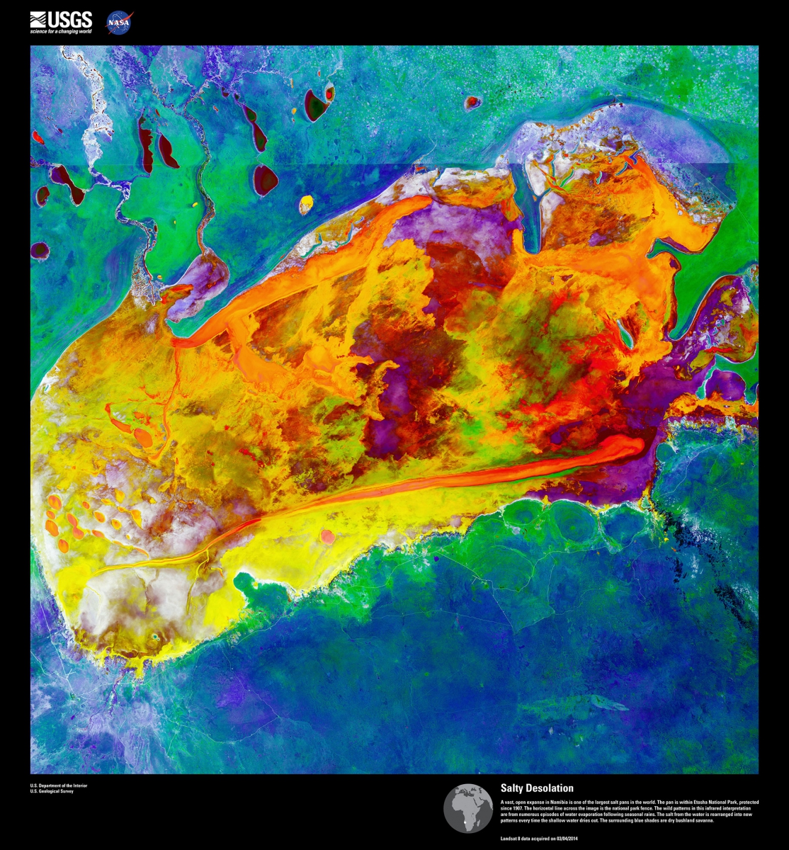
The U.S. Geological Survey (USGS) Earth Resources Observation and Science (EROS) Center is proud to announce the 6th addition to Earth As Art. The Earth As Art project began in the early 2000s, and its original intent remains the same: to produce images that do not look like satellite images at first glance. A powerful outreach tool, Earth As Art helps to start conversations about satellite imagery of the Earth and educate the public about its scientific value.
Earth As Art shows not only what satellites capture in the visible wavelengths of light you and I can see, but also what’s hiding in the invisible wavelengths that Landsat sensors can detect in the infrared part of the electromagnetic spectrum. Those combinations can bring out much more scientific value, but also can produce imagery of breathtaking beauty.
Earth As Art 6 even includes three images from USGS Unmanned Aircraft Systems (UAS), otherwise known as drones. Sensors attached to a UAS also capture visible and infrared light, and have proven their value in monitoring change over time alongside their spaceborne partners.
