Gepubliceerd op 14 april 2022
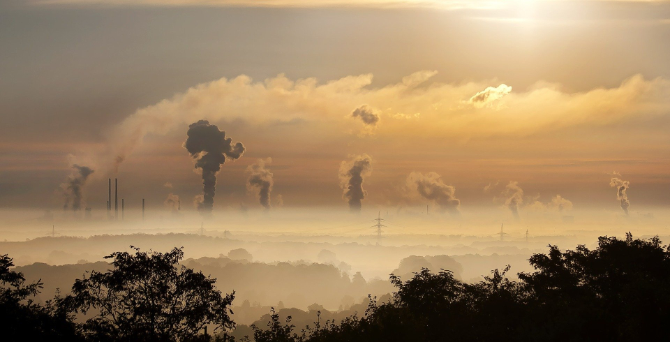
Reducing emissions of greenhouse gases, such as carbon dioxide and methane, is clearly paramount to avoiding the worst impacts of climate change. But to understand if mitigation strategies are actually meeting reduction targets, accurate measurements of emissions are key.
Countries use estimates of sector-based activity to compile their national greenhouse gas reports and to show progress towards delivering on their carbon reduction commitments under the Paris Climate Agreement. Registries of greenhouse gas emissions, as well as the flux of carbon dioxide between the atmosphere and the ground over managed land, are based on national statistics following IPCC guidelines.
ESA’s Climate Change Initiative Regional Carbon Cycle Assessment and Processes Phase-2 (RECCAP-2) project supports and accelerates the analysis of regional carbon budgets based on the results of data-driven models and process-oriented global dynamic vegetation models.
New research, published in Earth System Science Data, describes how scientists working within the Regional Carbon Assessment and Processes (RECCAP-2) project, supported by ESA, combined satellite measurements of atmospheric carbon dioxide and methane, and in-situ measurements of nitrous oxide, with a model that factors in the movement or ‘flux’ of these greenhouse gases between the land surface and atmosphere.
This ‘inversion method’ allowed the authors to determine emissions to the atmosphere of three greenhouse gases for a selection of high-emitting countries, as well as the overall flux of carbon dioxide over managed land. The managed land flux accounts for the absorption of carbon dioxide from the atmosphere due to the growth of crops and trees, their export and import across borders, and the anthropogenic component of rivers carrying carbon across borders, as well as carbon dioxide emissions from managed land owing to fires and other disturbances.
Significant discrepancies between these inversion values and the corresponding national reports were found.