
Satellite characteristics
Launch Date - End 23 January 2006 - 11 May 2011
Status Decommissioned
Orbit type Sun-synchronous near-recursive circular orbit
Altitude 691.65
Orbit inclination 98.16
Equatorial crossing time 10:30:00
Orbit period 98.51
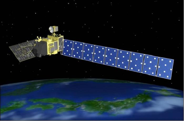
Satellite family: ALOS (Advanced Land Observing Satellite)
ALOS (nicknamed "Daichi") is a Japanese Earth-observation satellite, developed by JAXA (Japan Aerospace Exploration Agency, Tokyo; formerly NASDA), and manufactured by NEC, Toshiba, and Mitsubishi Electric Corp.Particular application features of the ALOS mission are:
Sensor characteristics
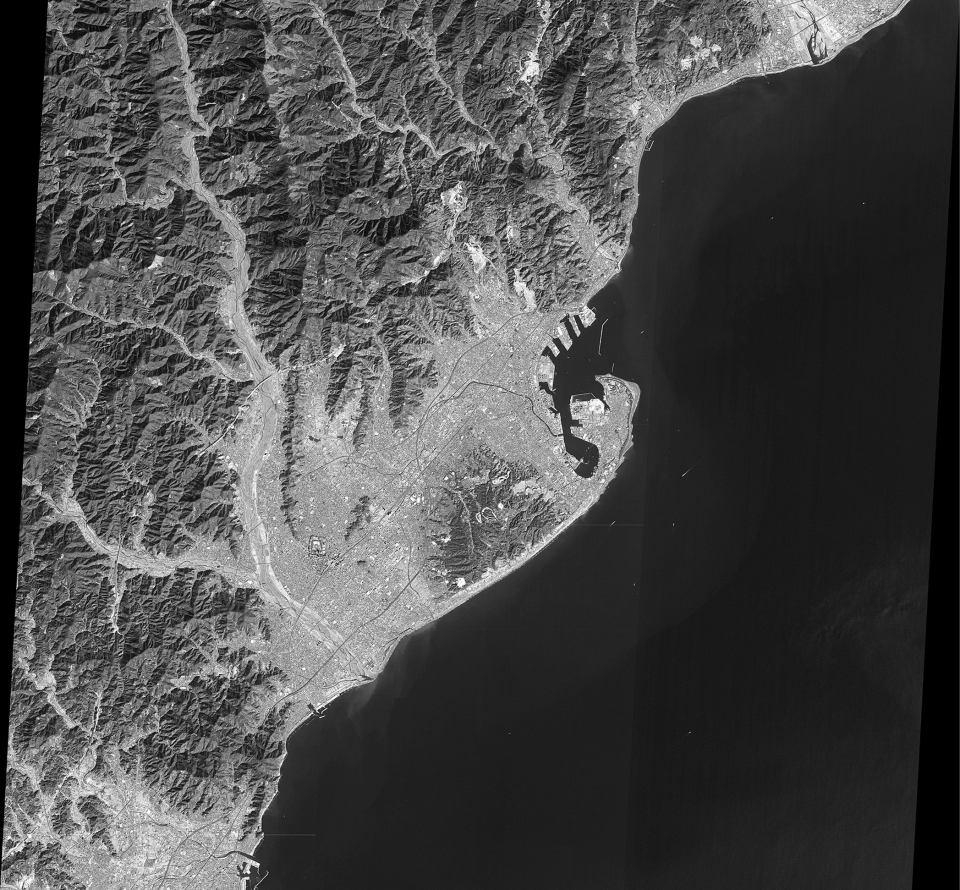
| Sensor name | AVNIR-2 (Advanced Visible and Near-Infrared Radiometer-2) |
|---|---|
| Sensor short description | |
| Sensor type | Imaging radiometer (Vis/IR) |
| Resolution class | High (5 - 30 m) |
| Swath width (at nadir) | 70 km |
| Max look angle | 44 ° |
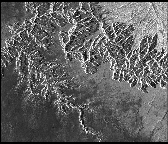
| Sensor name | PALSAR (Phased Array L-band Synthetic Aperture Radar) |
|---|---|
| Sensor short description | |
| Sensor type | Imaging microwave radar |
| Resolution class | High (5 - 30 m) |
| Swath width (at nadir) | 70 km |
| Max look angle | 60 ° |
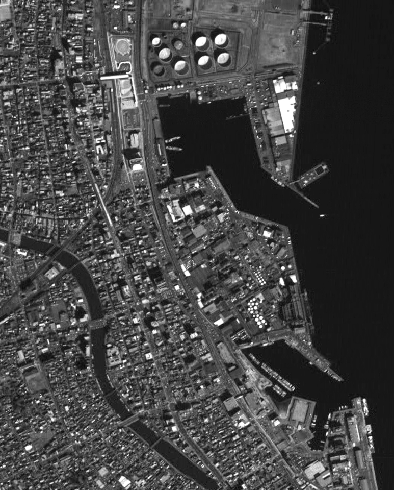
| Sensor name | PRISM (Panchromatic Remote-sensing Instrument for Stereo Mapping) |
|---|---|
| Sensor short description | |
| Sensor type | Imaging radiometer (Vis/IR) |
| Resolution class | Very High (1 - 5 m) |
| Swath width (at nadir) | 35 km |
| Max look angle | 24 ° |