GHGSat is a global reference for the remote sensing, identification, and facility attribution of greenhouse gas (GHG) emissions from global sources. No other active commercial or government satellite mission is specifically designed for detecting and quantifying GHG emissions from point sources as small as individual oil and gas wells.
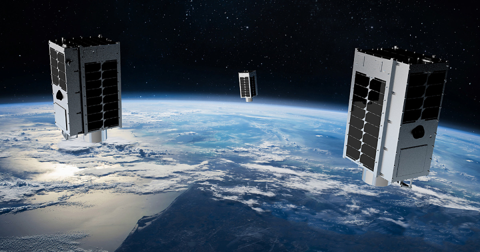
The GHGSat constellation currently consists of nine satellites:
- GHGSat-D (GHGSat's technology demonstrator satellite) launched in June 2016, and
- a commercial fleet, GHGSAT-C1 to GHGSAT-C8, launched from 2020 to 2023.
GHGSat have plans to grow their constellation over the coming years, with an additional three satellites, including one with a CO2 instrument, scheduled for launch at the end of 2023.
Satellite characteristics
Launch Date - End 22 June 2016 -
Status Operational
Altitude 496 - 550 km
Orbit inclination 97.3° (demonstrator), 97.5° (commercial fleet)
Orbit period 95 minutes
Sensor characteristics
| Sensor name | Wide-Angle Fabry-Perot (WAF-P) Imaging Spectrometer |
|---|---|
| Sensor short description | A proprietary imaging spectrometer for measuring facility-level greenhouse gas emissions. |
| Sensor type | Imaging radiometer (Vis/IR) |
| Resolution class | Medium (30 - 300 m) |
| Spatial resolution | <50 m for the demonstrator, approximately 30 m for the commercial fleet |
| Spectral bandwidth | SWIR 1600-1700 nm, multiple bands in a proprietary configuration, unpolarized |
| Swath width (at nadir) | <15 km km |
Each satellite is equipped with a wide-angle Fabry-Perot (WAF-P) imaging spectrometer designed to measure the vertical column abundances of greenhouse gases. GHGSat-D and GHGSat-C1 are capable of measuring both methane and carbon dioxide, but the entire constellation is optimised for methane measurements