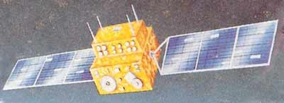
Satellite characteristics
Launch Date - End 17 March 1988 - 1 July 1996
Status Decommissioned
Orbit type sun-synchronous near polar orbit
Altitude 904
Orbit inclination 99
Equatorial crossing time 09:40:00
Orbit period 103.2
Satellite family: IRS (Indian Remote Sensing Satellites)
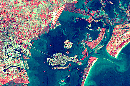
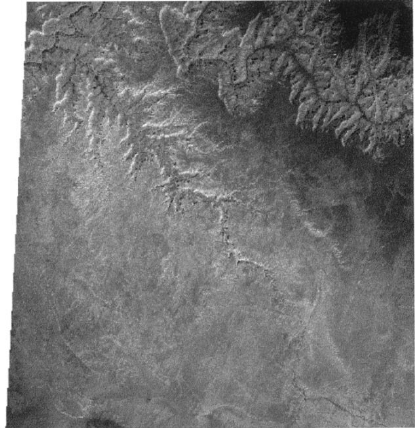
IRS is the integrated LEO (Low Earth Orbit) element of India's NNRMS (National Natural Resources Management System) with the objective to provide a long-term spaceborne operational capability to India for the observation and management of the country's natural resources (applications in agriculture, hydrology, geology, drought and flood monitoring, marine studies, snow studies, and land use).
The intend of the program is to create an environment of new perspectives for the Indian research community as a whole, to stimulate the development of new technologies and applications, and to utilize the Earth resources in more meaningful ways.
Sensor characteristics
| Sensor name | LISS I (Linear Imaging Self-Scanning Sensor 1) |
|---|---|
| Sensor short description | |
| Sensor type | Imaging radiometer (Vis/IR) |
| Resolution class | Medium (30 - 300 m) |
| Swath width (at nadir) | 148 km |
| Revisit frequency | 27 dagen |
| Sensor name | LISS II (Linear Imaging Self-Scanning Sensor 2) |
|---|---|
| Sensor short description | |
| Sensor type | Imaging radiometer (Vis/IR) |
| Resolution class | Medium (30 - 300 m) |
| Swath width (at nadir) | 74 km |