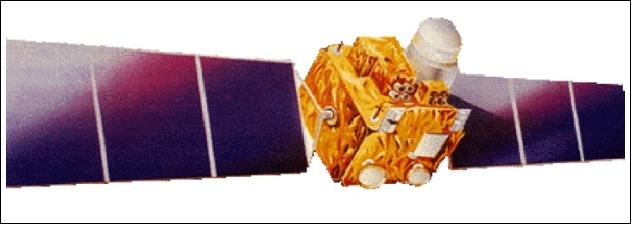

Satellite characteristics
Launch Date - End 27 December 1995 - 20 September 2007
Status Decommissioned
Orbit type polar, sun- synchronous orbit
Altitude 817
Orbit inclination 98.69
Equatorial crossing time 10:30:00
Orbit period 101.23
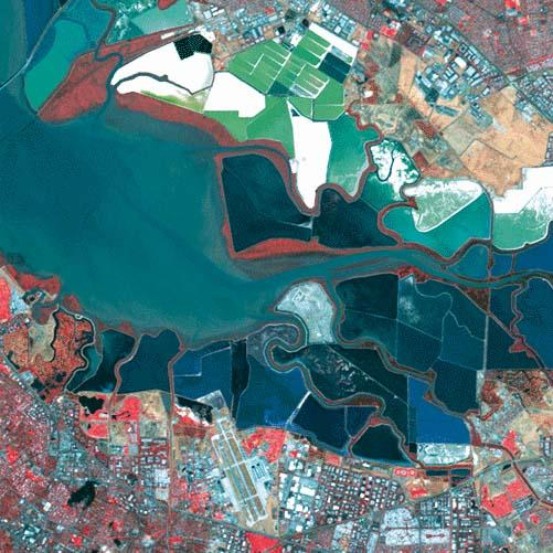
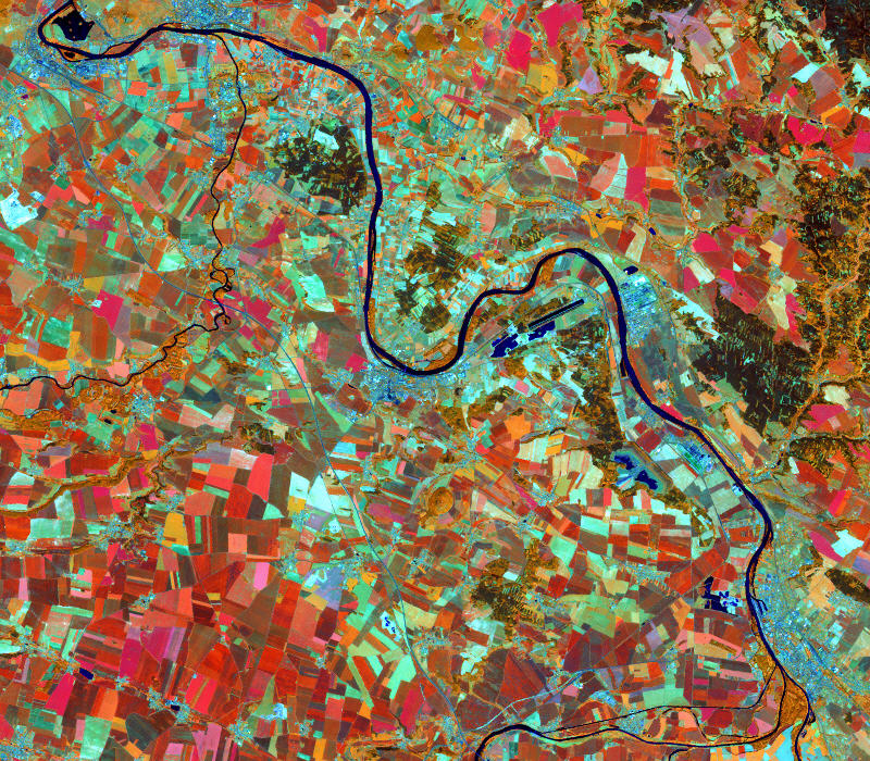
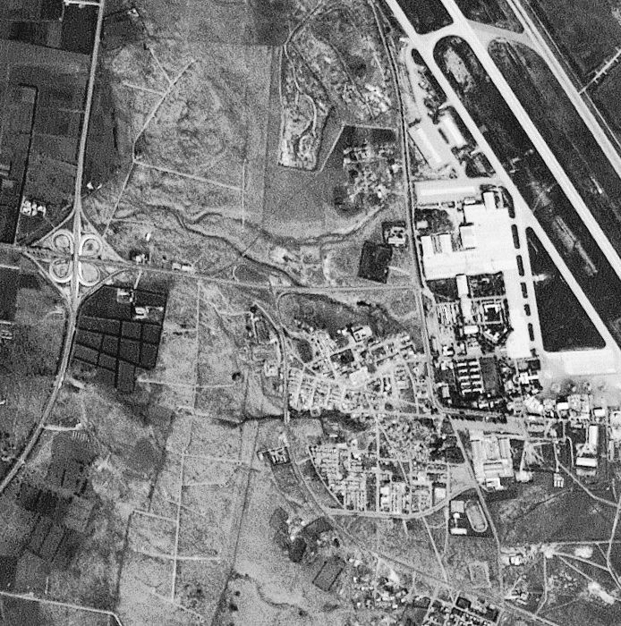
Satellite family: IRS (Indian Remote Sensing Satellites)
IRS is the integrated LEO (Low Earth Orbit) element of India's NNRMS (National Natural Resources Management System) with the objective to provide a long-term spaceborne operational capability to India for the observation and management of the country's natural resources (applications in agriculture, hydrology, geology, drought and flood monitoring, marine studies, snow studies, and land use).
The intend of the program is to create an environment of new perspectives for the Indian research community as a whole, to stimulate the development of new technologies and applications, and to utilize the Earth resources in more meaningful ways.
Sensor characteristics
| Sensor name | LISS III (Linear Imaging Self-Scanning Sensor 3) |
|---|---|
| Sensor short description | |
| Sensor type | Imaging radiometer (Vis/IR) |
| Resolution class | High (5 - 30 m) |
| Swath width (at nadir) | 142 km |
| Revisit frequency | 24 dagen |
| Sensor name | PAN (Panchromatic Camera) 1 |
|---|---|
| Sensor short description | |
| Sensor type | Imaging radiometer (Vis/IR) |
| Resolution class | High (5 - 30 m) |
| Swath width (at nadir) | 70 km |
| Revisit frequency | 5 dagen |
| Max look angle | 26 ° |
| Sensor name | WiFS (Wide Field Sensor) |
|---|---|
| Sensor short description | |
| Sensor type | Imaging radiometer (Vis/IR) |
| Resolution class | Medium (30 - 300 m) |
| Swath width (at nadir) | 740 km |
| Revisit frequency | 5 dagen |